Revolutionary cable locator

Leica Geosystems says its new Leica Digicat 600i and 650i series, with Logicat software, is set to revolutionise underground cable location. The 600i and 650i, fitted with what Leica says is an innovative data capture and on-board memory function, is said to aid operations management moves to increase onsite safety by detecting cables and identifying operator training needs. Locating underground cables and pipes is said to be a simple and efficient task with the 600i and 650i series, boosting the operator’s
June 19, 2012 Read time: 2 mins
Leica Geosystems says its new Leica Digicat 600i and 650i series is set to ‘revolutionise’ underground cable location
265 Leica Geosystems says its new Leica Digicat 600i and 650i series, with Logicat software, is set to revolutionise underground cable location.

The 600i and 650i, fitted with what Leica says is an innovative data capture and on-board memory function, is said to aid operations management moves to increase onsite safety by detecting cables and identifying operator training needs. Locating underground cables and pipes is said to be a simple and efficient task with the 600i and 650i series, boosting the operator’s productivity and profitability.

The 650i is said to offer the user the same features and functionally of the 600i, with the extra benefit of service depth indication.

When using the Digicat in conjunction with the Digitex 100t or Sonde in 8 or 33 kHz modes, operators can determine the depth of the buried utility which, according to Leica, provides a clear advantage when conducting ground surveys.

The 600i and 650i locators have Bluetooth wireless connectivity, allowing the Digicat to integrate with mobile mapping technology to log survey data, in addition to enabling wireless Bluetooth data transfer. With Logicat software, calculation records can be retrieved and collated, helping to improve onsite safety and identify training needs.

For more information on companies in this article

Related Content

  • Monitoring field activities accurately
    March 14, 2022
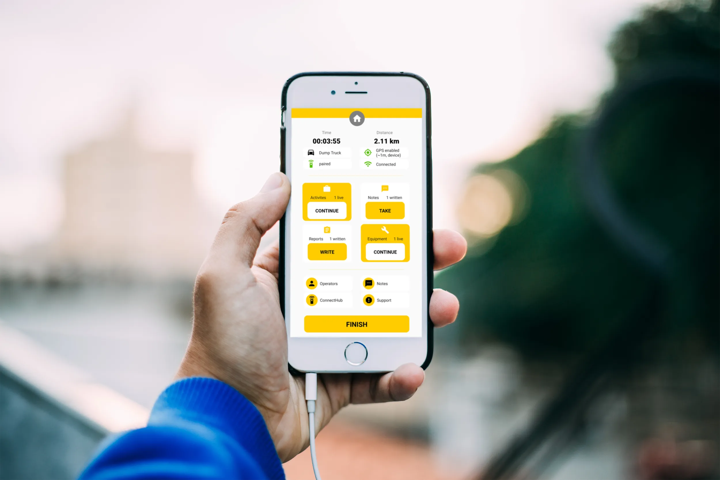
    Boschung says that its bMoves tool is a novel digital solution for managing field services.
  • Innovations in piling technology
    December 15, 2017
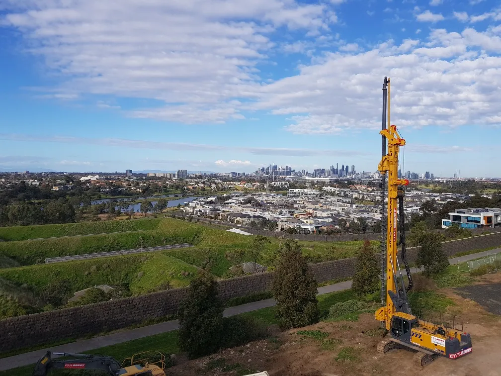
    The market for piling machines is seeing new technology come to market – Mike Woof writes UK firm BSP is now offering an improved range of piling systems, with its SL30 model and compact BH120. The SL30 can be used to drive Z piles in pairs and its hammer has a drop weight of 2.5tonnes, delivering an impact energy of 30kNm at up 84blows/minute. The SL piling hammer is designed for driving sheet piles and small bearing piles and is available with legs and inserts for use when freely suspended or with back
  • Caterpillar’s excavators for emergent markets
    May 20, 2019
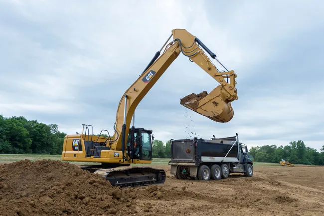
    Caterpillar says that its Next Generation 30tonne class excavators, the 330 and 330 GC, meet the needs of customers in emergent markets. These machines offer gains in operating efficiency, as well as lower fuel and maintenance costs and improved operator comfort. The new excavators offer features designed to match productivity and cost targets. Delivering high-production performance, the new Cat 330 features standard integrated Cat Connect technology and the most power and lift capacity of the two model
  • Sophisticated GNSS system
    February 9, 2012
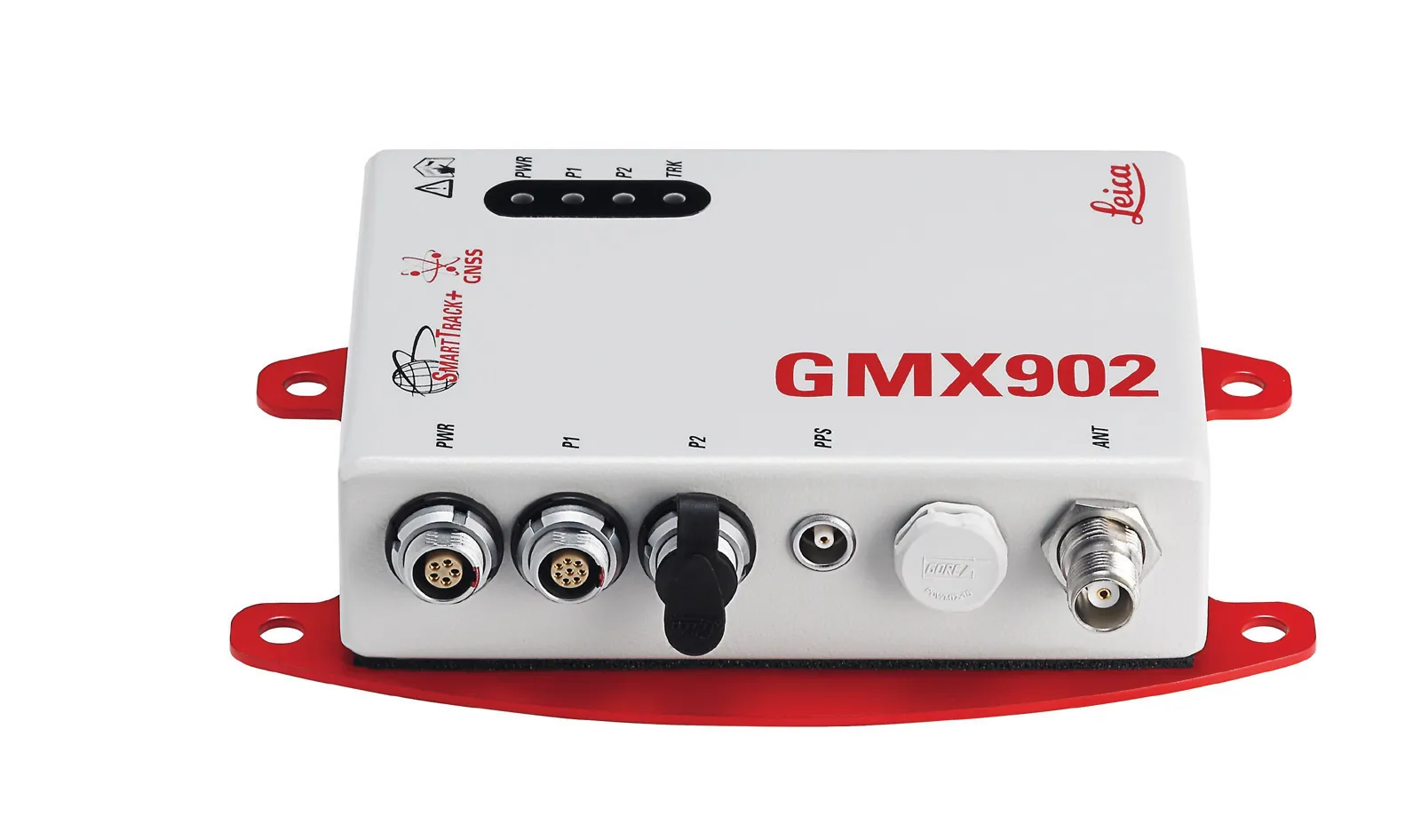
    Leica Geosystems says that its new GR10 unit is a sophisticated GNSS reference station receiver and features ease of use, reliability and performance. The GR10 is said to help streamline system installation, day to day operation and administration. The system can be commissioned quickly and features its own receiver hostname while DHCP support means there is no need for pre-configuration of the IP address.