GSSI offers bridge monitoring tool

GSSI is introducing the sophistictaed BridgeScan condition assessment system. This package is used for concrete inspection and utility mapping of bridges. Said to be both affordable and versatile, this ground penetrating radar (GPR) equipment can be used to assess concrete condition on bridge decks, as well as parking structures. Using this unit offers accurate assessments of concrete condition, which improves repair cost estimation and saves time and money. With BridgeScan, identification of rebar
May 19, 2015 Read time: 2 mins
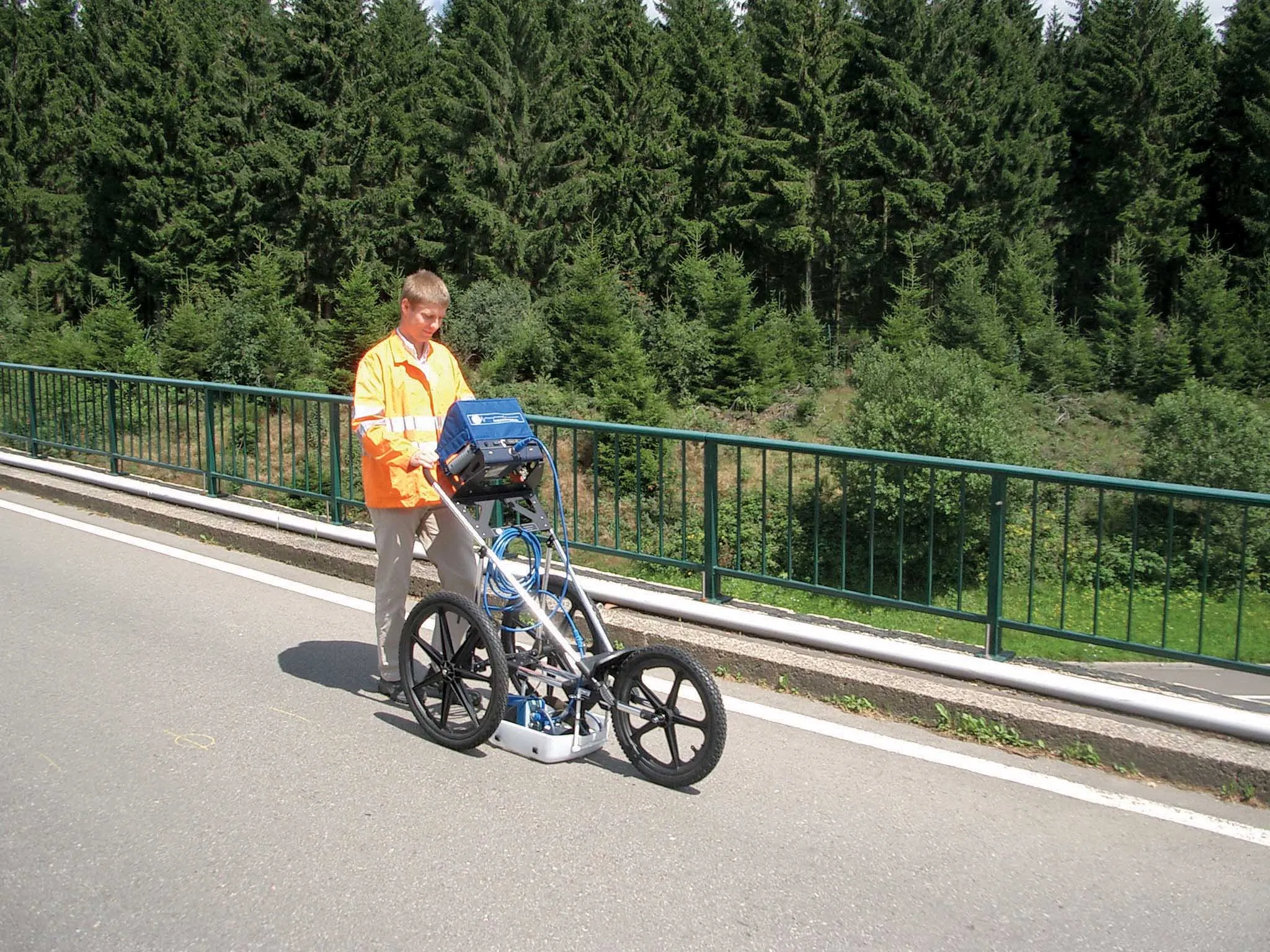
The BridgeScan monitoring system from GSSI comes with its own cart for versatility of use
8095 GSSI is introducing the sophistictaed BridgeScan condition assessment system. This package is used for concrete inspection and utility mapping of bridges.

Said to be both affordable and versatile, this ground penetrating radar (GPR) equipment can be used to assess concrete condition on bridge decks, as well as parking structures. Using this unit offers accurate assessments of concrete condition, which improves repair cost estimation and saves time and money.

With BridgeScan, identification of rebar location and depth is said to be easy and quick. It can handle bridge deck condition assessments, determining concrete cover depth on new structures, and concrete inspection, as well as measuring slab thickness, and void detection and location. Construction professionals, utility locators, and engineers can also use the unit as a basis for a utility locating GPR system to map and locate underground infrastructure – pinpointing the depth and position of metallic and non-metallic pipes in real time.

Unlike other units, the firm says that the BridgeScan system is aimed at bridge condition assessment. It can accurately represent bridge data by automatically accommodating for bridge skew angle. Using a non-destructive method of evaluating bridge deck thickness, the BridgeScan system is said to obtain reliable thickness measurements in minutes, eliminating the need to core.

The BridgeScan system includes the SIR 3000 control unit, a small, lightweight GPR system designed for single-user operation, which incorporates advanced signal processing and display capability for in-the-field 3D imaging. The same control unit can be used for multiple applications. Other BridgeScan components include a 1600MHz antenna, a three-wheeled survey cart with encoder wheel, and a 2m control cable. Also included is a transit case for the control unit, batteries and charger, as well as RADAN software and application-specific software for bridge deck condition assessments.

For more information on companies in this article

Related Content

  • Brisbane’s Airport: Innovative Management of One of the World’s Busiest Runways
    June 26, 2014
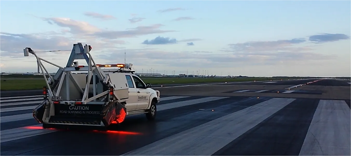
    When it comes to runways, there are few busier then Brisbane’s main runway. Servicing both domestic and international travel, with over 200,000 movements per year, operating without a curfew Brisbane’s main runway is the busiest in Australia. For maintenance, crews only have a limited period of time to determine the pavement condition, normally during the night, making the detection of pavement faults difficult. To resolve this issue, a new high speed pavement scanner was used to rapidly survey the pavem
  • New tests, new technology, new users: why materials testing is a growing market
    February 7, 2017
    A look back at some of the developments this year, and a look ahead to what may come next reveals the increasing use of materials testing. New technology and new ways to process and analyse data will drive change even further - Kristina Smith reports For materials testing equipment manufacturers, constant change is business as usual. New tests emerge, new standards are written and new practices spread around regions and the world. There are also new materials to deal with: bitumen modified with polymers
  • Road surface assessment with GSSI
    March 9, 2017
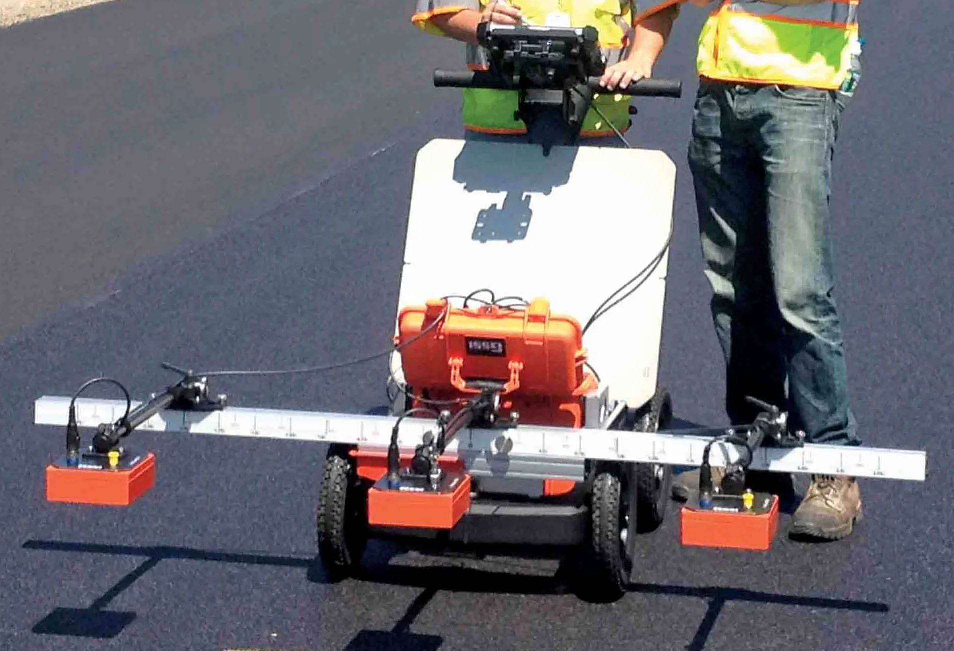
    GSSI's new PaveScan unit can provide accurate real-time measurements and uncover problems that occur during the paving process, including poor uniformity and significant variations in density. By avoiding these problems, PaveScan RDM helps avoid premature failures from road ravelling, cracking, and deterioration along joints. PaveScan automatically measures the dielectric value to identify anomalies in real-time. In addition, the dielectric values can be used to as a means to correlate voids and density in
  • Positioning tools continue to improve
    July 16, 2012
    Topcon says that its new IP-S2 package combines GNNS positioning capabilities with inertial sensors, while the firm also has a solution for customers wanting to mix and match receiver components. The IP-S2 is a vehicle-mounted, mobile 3D tool that offers precision mapping and surveying capabilities. The package collects data using 3D laser scanners, LIDAR, and/or cameras, and this is then integrated, time-stamped and geo-referenced. The customer can use this assembled data to combine LIDAR point cloud and d