Fast and accurate control with Topcon

Topcon’s sophisticated GT Series ultrasonic robotic total stations are said to be fast, accurate and versatile
September 20, 2021 Read time: 2 mins
Topcon has developed a new robot total station offering precision control

The system is said to provide precise and productive workflows for demanding survey and construction applications. The units can lay out or survey more points precisely and in less time than previous generation tools. Meanwhile, the units also improve quality and consistency.

These digital tools are said to be easy to use and offer accurate and repeatable results, for less rework and better quality control. The units are compact and are said to be easy to transport onsite, while their versatility means that they can be used for layout, survey and machine guidance duties.

Key features include precise positioning and single-person operation, high-speed advanced ultrasonic motors and easy to use MAGNET or Pocket3D software, as well as seamless integration into BIM workflows. The units are available in GT-1200 and GT-600 models with multiple accuracy levels and are offered with a three-year instrument and five-year motor warranty. Designed for use in tough construction site duties, the units are rugged and offer IP65 dust and water resistance. The UltraTrac prism tracking technology offers reliable performance and the units are said to maintain work pace with the total station locked onto the prism, even in challenging environments.

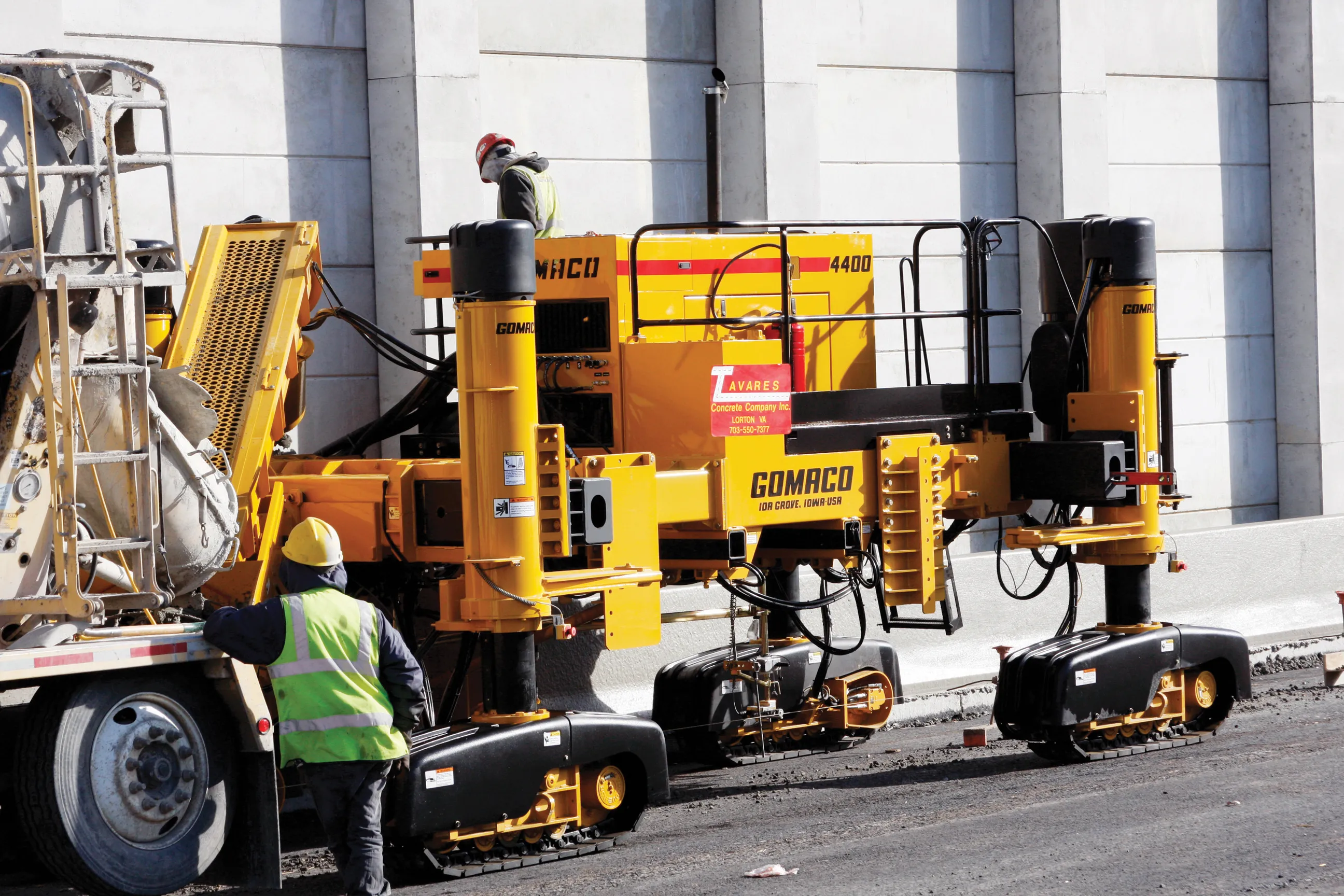
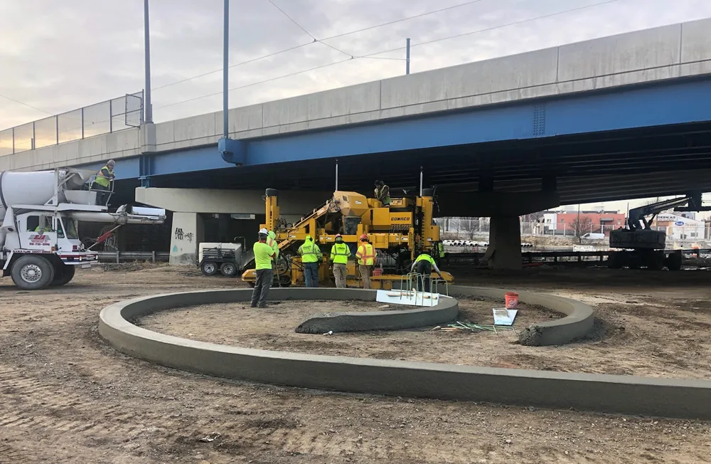
These tools can help in kerb and gutter jobs by maintaining productivity and accuracy when facing GPS coverage issues. Using either the GT-1200 series robotic total station or the LN-150 robotic layout navigator, customers can augment their existing Millimeter GPS concrete paving solution, and remedy issues such as foliage canopies, large buildings, tunnels and overpasses.

Both instruments offer support for a prism solution that can switch quickly between Millimeter GPS and local positioning systems (LPS). Both use Topcon LongLink communication for connectivity. The self-levelling LN-150 is an easy-to-use, cost-effective robotic solution while the GT-1200 series instruments can perform a full range of functions as a standalone surveying total station.

The tools allow precise 3D layout and have an easy to use, self-levelling setup as well as Wi-Fi and long-range Bluetooth options. The units offer cloud-connected workflows with Autodesk, Bentley, and MAGNET software, including the MAGNET Construct mobile app for phone or tablet.

For more information on companies in this article

Related Content

  • Accurate deformation monitoring from Leica Geosystems
    March 7, 2017
    Leica Geosystems is now offering a sophisticated tool that allows engineers to measure deformation accurately. The Leica GeoMoS Now! Survey Edition is a service for monitoring and managing 3D deformation of points of potentially unstable areas for surveying projects. It has a streamlined workflow and can deliver monitoring reports of man-made structures or natural dangers to smart devices. Surveyors can use this to upload coordinates, process and visualise deformations, allowing other users to access result
  • Innovations in concrete paving technology
    March 16, 2012
    Paving with concrete offers a strong and long life base for a roadway, with manufacturers continuing to develop technologies – Mike Woof reports. Innovation comes fast in the concrete paving market with a number of specialist suppliers offering an array of solutions to meet the needs of slipforming contractors. These machines can be used for a range of applications from large-scale airport runway or highway construction duties, tunnel jobs, bridge decks, barriers, traffic islands and kerbs. Because the app
  • Advanced GNSS capabilities from Topcon
    May 15, 2019
    Topcon claims that its HiPer VR GNSS receiver is compact, light and benefits from advanced GNSS technology. The firm says that the rugged design is built to withstand harsh construction environments. Using Topcon’s sophisticated GNSS chipset with Universal Tracking Channels technology, the HiPer VR tracks every satellite signal. The compact, rugged design also features an integrated IMU and eCompass. The HiPer VR can be used for static or kinematic GNSS post-processed surveys: as a network RTK rover with
  • Testing advanced compaction technology
    April 6, 2020
    Contractor Max Bögl and BOMAG have worked together on a major infrastructure project in Germany to carry out practical tests of the BW 174 Hybrid and BOMAP system.