
Fast and accurate control with Topcon

Topcon’s sophisticated GT Series ultrasonic robotic total stations are said to be fast, accurate and versatile
September 20, 2021 Read time: 2 mins
Topcon has developed a new robot total station offering precision control

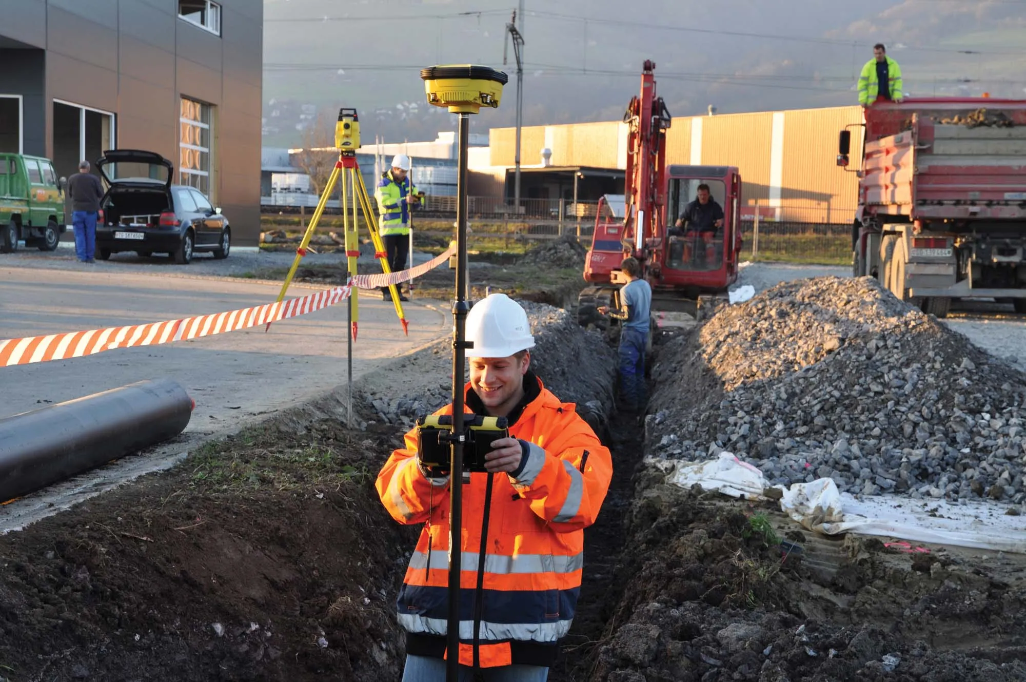
The system is said to provide precise and productive workflows for demanding survey and construction applications. The units can lay out or survey more points precisely and in less time than previous generation tools. Meanwhile, the units also improve quality and consistency.

These digital tools are said to be easy to use and offer accurate and repeatable results, for less rework and better quality control. The units are compact and are said to be easy to transport onsite, while their versatility means that they can be used for layout, survey and machine guidance duties.

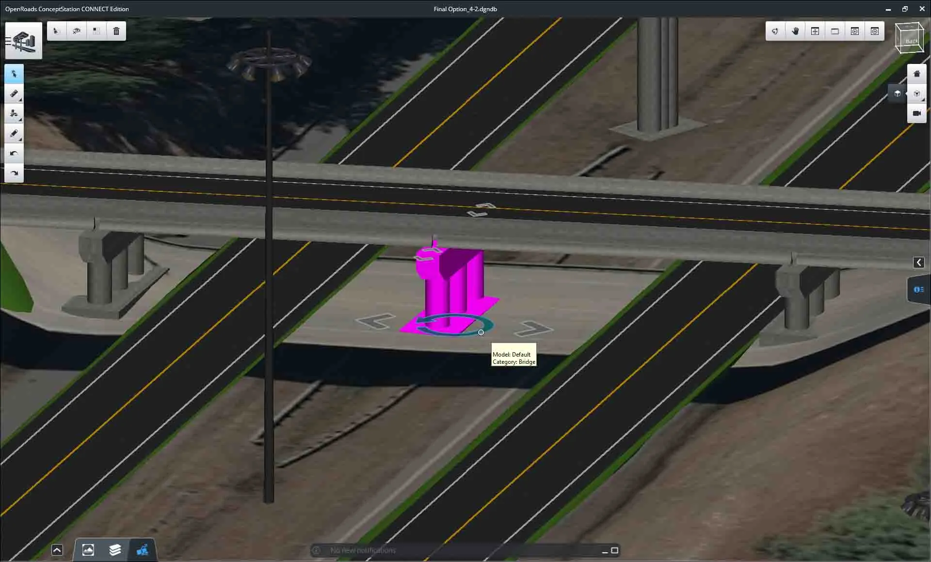
Key features include precise positioning and single-person operation, high-speed advanced ultrasonic motors and easy to use MAGNET or Pocket3D software, as well as seamless integration into BIM workflows. The units are available in GT-1200 and GT-600 models with multiple accuracy levels and are offered with a three-year instrument and five-year motor warranty. Designed for use in tough construction site duties, the units are rugged and offer IP65 dust and water resistance. The UltraTrac prism tracking technology offers reliable performance and the units are said to maintain work pace with the total station locked onto the prism, even in challenging environments.

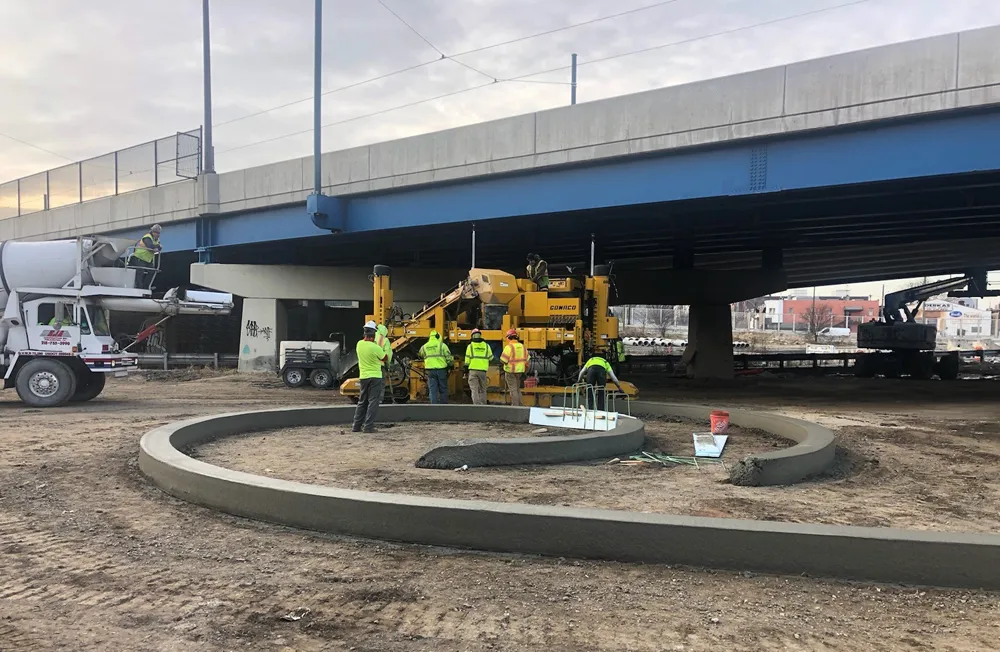
These tools can help in kerb and gutter jobs by maintaining productivity and accuracy when facing GPS coverage issues. Using either the GT-1200 series robotic total station or the LN-150 robotic layout navigator, customers can augment their existing Millimeter GPS concrete paving solution, and remedy issues such as foliage canopies, large buildings, tunnels and overpasses.

Both instruments offer support for a prism solution that can switch quickly between Millimeter GPS and local positioning systems (LPS). Both use Topcon LongLink communication for connectivity. The self-levelling LN-150 is an easy-to-use, cost-effective robotic solution while the GT-1200 series instruments can perform a full range of functions as a standalone surveying total station.

The tools allow precise 3D layout and have an easy to use, self-levelling setup as well as Wi-Fi and long-range Bluetooth options. The units offer cloud-connected workflows with Autodesk, Bentley, and MAGNET software, including the MAGNET Construct mobile app for phone or tablet.

For more information on companies in this article

Related Content

  • Bentley advances construction software technology
    December 19, 2016
    Design and construction software specialist Bentley Systems is strengthening its position in the market with the introduction of new software advances as well as a series of strategic business moves. This allows the company to offer new solutions and technologies to its client base, as well as reaching out to new business segments The firm is introducing an array of powerful tools to the market. A key launch is for the OpenRoads Designer CONNECT Edition, which is the successor to Bentley’s well-proven an
  • Sophisticated software solutions offering surveying innovation and construction efficiency
    August 28, 2014
    An array of new software tools will deliver greater efficiencies to construction companies – Mike Woof writes. Sophisticated software systems are delivering advanced solutions to traditional construction tasks. Key developments have been made by major players in the sector, such as Bentley Systems, Fugro Roadware, Leica Geosystems and Topcon Sokkia. From Bentley comes a new package that will help road construction activities in urban areas featuring a heavy concentration of underground utilities. This n
  • Sophisticated scanning from Topcon
    August 13, 2019
    Topcon Positioning Group is introducing a new generation of scanning robotic total stations. The firm’s new the GTL-1000 is a compact scanner integrated with a fully featured robotic total station. The firm says that the system is designed to offer a powerful instrument for single-operator layout and scan on a single set up. Combined with the ClearEdge3D Verity package, it offers effective construction verification workflows. The instrument includes a complete robotic total station with layout functionalit
  • GPS machine control systems reduce survey time
    February 14, 2012
    Innovative uses are being made of GPS technology, Mike Woof reports. US firms Creighton Manning Engineering and Delaney Construction have made a novel use of GPS technology in a project for the Route 85 Slingerlands bypass extension in the US.