Drone system from HCSS

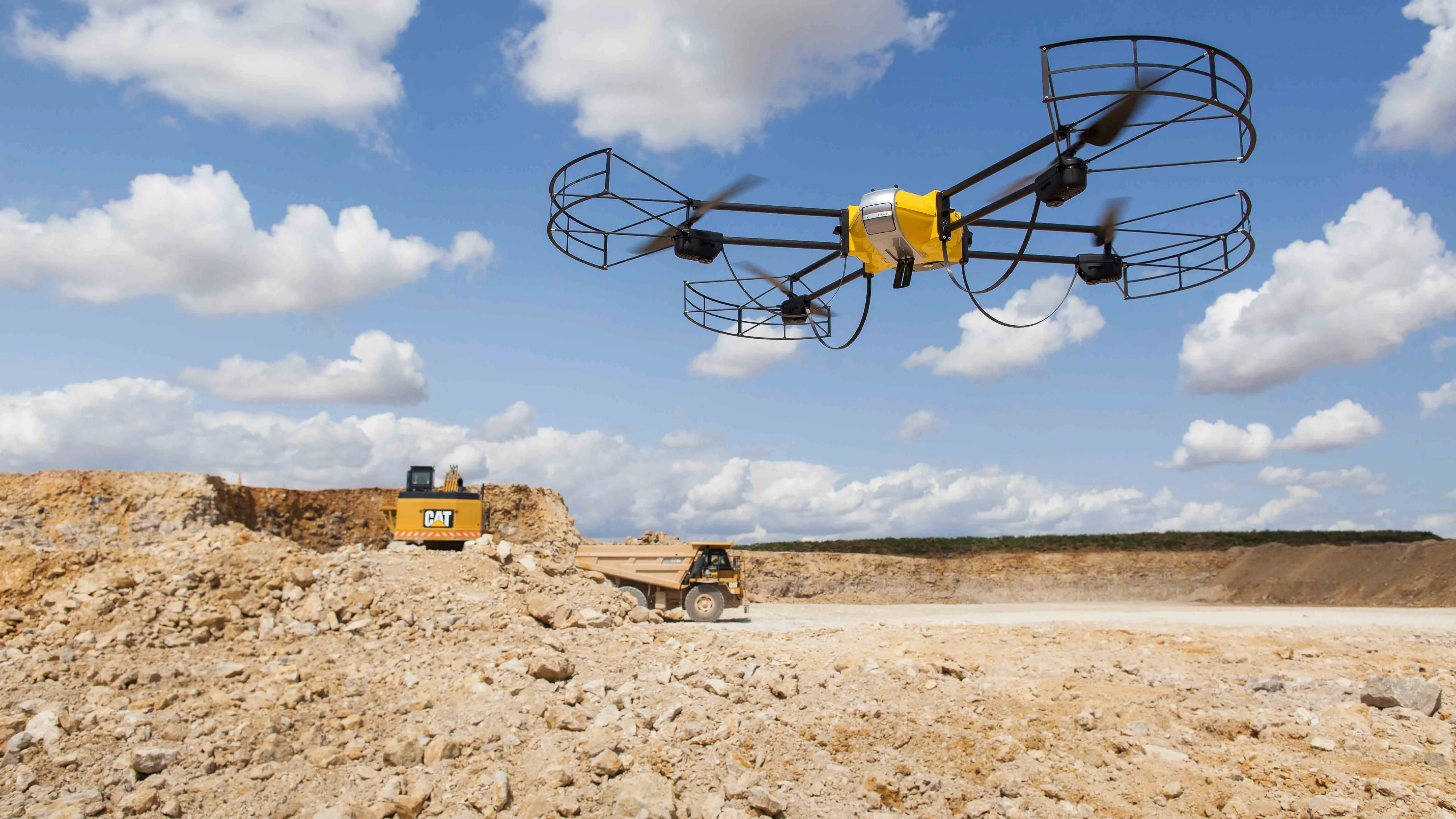
HCSS says it is offering powerful new features for its HCSS Aerial package, a drone-based data analytics platform. This includes improvements with calculations and measurements, annotation and designs, and navigation. New features are said to optimise tablet performance and improve user experience with the mobile device.
October 22, 2021 Read time: 2 mins
HCSS is now offering improved functionality for its drone package

“Customers have asked us to allow HCSS Aerial measurements and quantities data to be integrated with HCSS HeavyJob Project Management and Job Cost solution,” said JP Giometti, vice president, Global Strategy and Corporate Development, HCSS. “We are Beta testing this integration and gathering feedback from clients before introduction. By integrating with HeavyJob, clients will be able to keep their jobs and budget on track with less expensive yet more accurate drone mapping.”

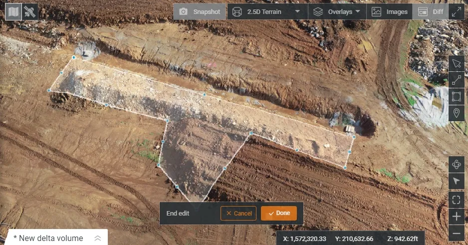
Features in the new update include the ability to provide measurements and analytics from design items, saving time, whether users are running calculations to compare design to the as-built for quality assurance or checking bills from subcontractors. The package can also eliminate any errors that might occur from manual drawing areas or lines. It can import images into HCSS Aerial to create a new annotation. The platform pins the annotation automatically, depending on the GPS position. Users inspecting a site on a tablet can import the photographs on the go. It offers easier drawing of lines and polygons for measurements and analytics.

Users can now make edits and adjust points in lines and polygons without starting calculations. The package can upload design files and notes before the first flight or while the flight is still being processed. A “Go to Coordinates” navigation tool can change a map display to a specific point by entering coordinates.

Measurement details for tablets optimises the small screen and allows users to choose between side navigation and a top-mounted calculation detail box.

For more information on companies in this article

Related Content

  • Machine control developments from Leica Geosystems, Topcon, Trimble and Wirtgen in the slipforming sector
    July 1, 2013
    Machine control technologies were pioneered in the concrete paving sector with systems having been used for over 10 years. Leica Geosystems was the first of the machine control technology suppliers to offer these systems on concrete slipforming machines and has developed a strong position in this segment. However the company met resistance from some quarters in the construction market and specialist Karl Soar said that some contractors were very reluctant to give up using conventional stringlines. He said,
  • Airware acquires drone data analytics provider Redbird
    September 23, 2016
    Airware, a commercial drone solutions provider, has acquired Redbird, a France-based pioneer in drone data analytics that has been working closely with Caterpillar. Redbird focuses on the mining, quarrying, and construction industries through sophisticated geospatial analytics which will be integrated into the Airware Aerial Information Platform. This will give customers the combined power of Redbird's industry-specific analytics and Airware's enterprise-focused workflow, compliance, and security feature
  • Efficient asset management delivers
    April 25, 2013
    Maximising the economic benefit of infrastructure assets can be achieved through delivering better quality maintenance. Increasing utilisation of infrastructure follows on from those assets being in better condition. Clearly by tracking infrastructure condition closely, huge gains can be made in addressing technical issues before they become more serious and more costly, as well as minimising disruption. In UK city Birmingham, high resolution aerial photography from Bluesky is helping the city council under
  • Laser scanning focuses on asset management
    January 9, 2015
    Laser scanners and improved data collection and analysis software are making light of asset management surveying. David Arminas reports The age of the laser scanner is upon us, taking over from traditional manual methods of surveying, data collection and processing. These new technical developments are making it much easier to process and use the data captured and are providing highways engineers with powerful tools to record, map and visualise their assets. This is good news for highways authorities