Drone system from HCSS

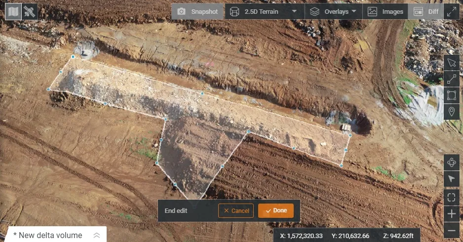
HCSS says it is offering powerful new features for its HCSS Aerial package, a drone-based data analytics platform. This includes improvements with calculations and measurements, annotation and designs, and navigation. New features are said to optimise tablet performance and improve user experience with the mobile device.
October 22, 2021 Read time: 2 mins
HCSS is now offering improved functionality for its drone package

“Customers have asked us to allow HCSS Aerial measurements and quantities data to be integrated with HCSS HeavyJob Project Management and Job Cost solution,” said JP Giometti, vice president, Global Strategy and Corporate Development, HCSS. “We are Beta testing this integration and gathering feedback from clients before introduction. By integrating with HeavyJob, clients will be able to keep their jobs and budget on track with less expensive yet more accurate drone mapping.”

Features in the new update include the ability to provide measurements and analytics from design items, saving time, whether users are running calculations to compare design to the as-built for quality assurance or checking bills from subcontractors. The package can also eliminate any errors that might occur from manual drawing areas or lines. It can import images into HCSS Aerial to create a new annotation. The platform pins the annotation automatically, depending on the GPS position. Users inspecting a site on a tablet can import the photographs on the go. It offers easier drawing of lines and polygons for measurements and analytics.

Users can now make edits and adjust points in lines and polygons without starting calculations. The package can upload design files and notes before the first flight or while the flight is still being processed. A “Go to Coordinates” navigation tool can change a map display to a specific point by entering coordinates.

Measurement details for tablets optimises the small screen and allows users to choose between side navigation and a top-mounted calculation detail box.

For more information on companies in this article

Related Content

  • Road repairs take to the air
    November 29, 2018
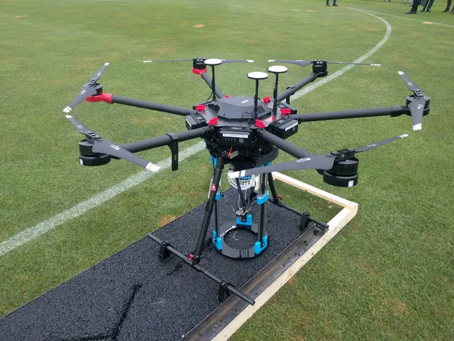
    Automated road repairs using 3D printing could save money and reduce disruption, reports Kristina Smith It’s the middle of the night and in the street below a team is busy carrying out repairs to the road surface. But there isn’t a human in sight. A road-repair drone has landed at the site of a crack and a 3D asphalt printer is now busy filling in that crack. A group of traffic cone drones have positioned themselves around the repair location to protect the repair drone and divert traffic around it.
  • From managed asset to service provider: the future highway
    May 20, 2019
    Every day we hear about Mobility as a Service (MaaS), but what about Roads as a Service? Geoff Hadwick reports from the ERF in Brussels The familiar physical asset called the road will increasingly be seen as part of an emerging global services sector. Given that, the role of the road is changing, notes Christophe Nicodème, general director of the European Union Road Federation (ERF). We need to think much more carefully about planning highway infrastructure in terms of people’s needs, said Nicodème,
  • GPS control delivers more accurate compaction performance
    July 13, 2012
    The latest compaction technology offers users the benefits of more accurate performance by combining heat detection and compaction metering with GPS In Europe several leading manufacturers now offer more accurate compaction technology, with Ammann, BOMAG, Dynapac and Hamm all having developed advanced control packages. The technologies vary widely but the advantages are broadly similar, with smart compaction allowing the user a greater degree of control over the compaction process and delivering major reduc
  • InspectTech is right on time
    February 6, 2017
    All 15 US states using Bentley’s AssetWise InspectTech software achieved reporting compliance with annual Federal Highway Administration’s MAP-21 National Bridge Inventory and National Bridge Element schemes. Taylor Gilmore, product manager for AssetWise InspectTech, said the software was used to inspect over 175,000 bridges for their clients’ 2016 Federal Highway NBI and NBE data reports. Faced with ageing bridge infrastructure nationwide, FHWA’s MAP-21 performance-based programme is designed to maximis