Drone system from HCSS

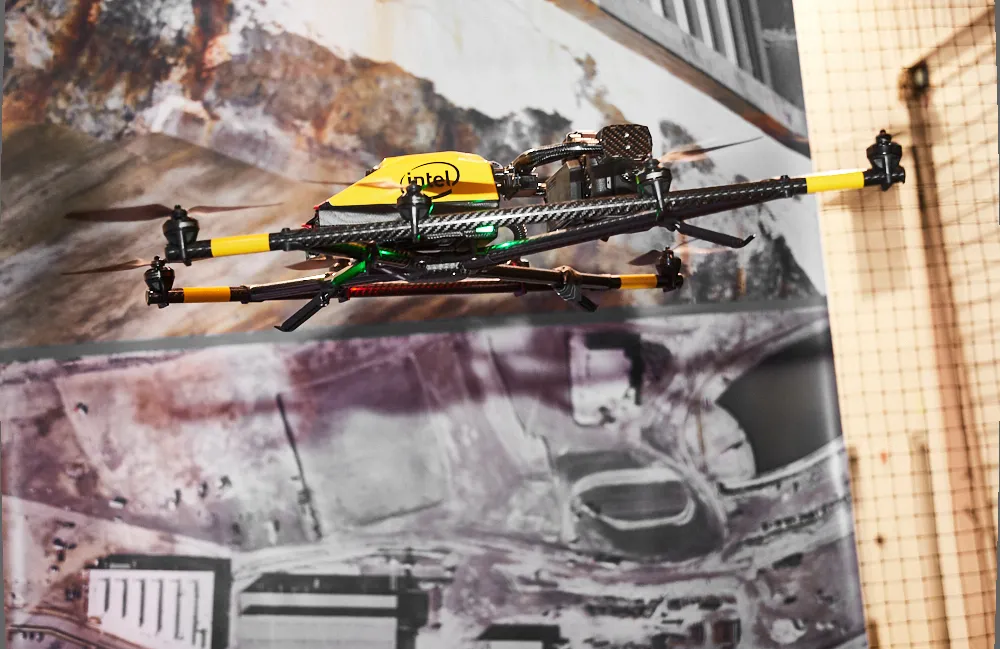
HCSS says it is offering powerful new features for its HCSS Aerial package, a drone-based data analytics platform. This includes improvements with calculations and measurements, annotation and designs, and navigation. New features are said to optimise tablet performance and improve user experience with the mobile device.
October 22, 2021 Read time: 2 mins
HCSS is now offering improved functionality for its drone package

“Customers have asked us to allow HCSS Aerial measurements and quantities data to be integrated with HCSS HeavyJob Project Management and Job Cost solution,” said JP Giometti, vice president, Global Strategy and Corporate Development, HCSS. “We are Beta testing this integration and gathering feedback from clients before introduction. By integrating with HeavyJob, clients will be able to keep their jobs and budget on track with less expensive yet more accurate drone mapping.”

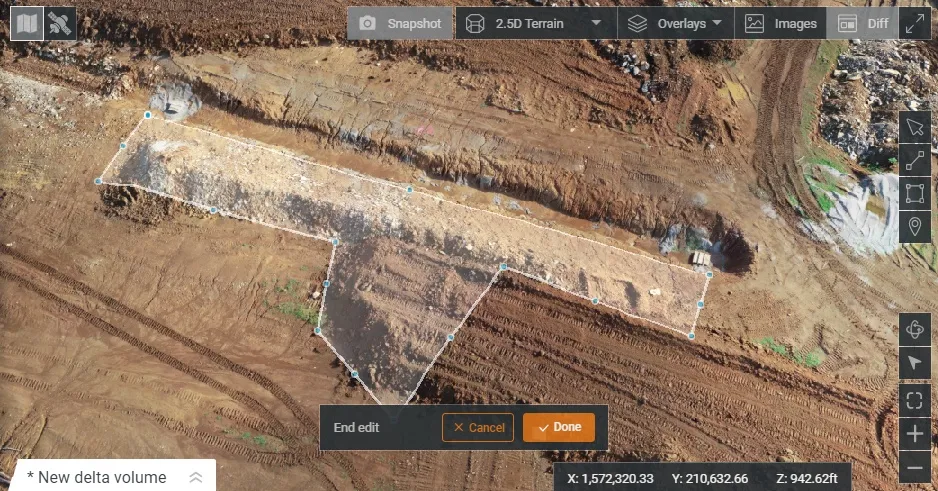
Features in the new update include the ability to provide measurements and analytics from design items, saving time, whether users are running calculations to compare design to the as-built for quality assurance or checking bills from subcontractors. The package can also eliminate any errors that might occur from manual drawing areas or lines. It can import images into HCSS Aerial to create a new annotation. The platform pins the annotation automatically, depending on the GPS position. Users inspecting a site on a tablet can import the photographs on the go. It offers easier drawing of lines and polygons for measurements and analytics.

Users can now make edits and adjust points in lines and polygons without starting calculations. The package can upload design files and notes before the first flight or while the flight is still being processed. A “Go to Coordinates” navigation tool can change a map display to a specific point by entering coordinates.

Measurement details for tablets optimises the small screen and allows users to choose between side navigation and a top-mounted calculation detail box.

For more information on companies in this article

Related Content

  • Sophisticated technology allows milling accuracy
    January 14, 2021
    Given the increase in vehicle numbers and that modern vehicles are heavier, it is more important for modern highways to be constructed to higher standards than previously.
  • Epson’s Moverio smart glasses improve safety for construction drones
    March 7, 2017
    Epson, the world’s largest projector manufacturer, has teamed up with drone manufacturer DJI to create smart glasses aimed at reducing the likelihood of accidents. The technology will help drone pilots in the US to meet the new Federal Aviation Administration rules which require a visible line of site.
  • Topcon and Bentley join forces to model reality
    March 8, 2017
    Topcon Positioning and Bentley Systems are introducing the product of their joint development project at CONEXPO-CON/AGG 2017, a reality modelling software solution.
  • Reducing asphalt plant downtime
    December 12, 2018
    How asphalt plant control add-ons make operation easier while reducing costly downtime - *Carlos Cardenas The word downtime might as well be a curse word in the asphalt production industry. As any operator will say, unplanned plant shutdowns can end up costing a producer heavily in lost production, not to mention a line of unhappy truck drivers and asphalt customers. The key is to get ahead of the problem and spot issues before they skyrocket in severity. Fortunately, some asphalt plant manufacturers offe