Central Alliance launches Geo Construction division

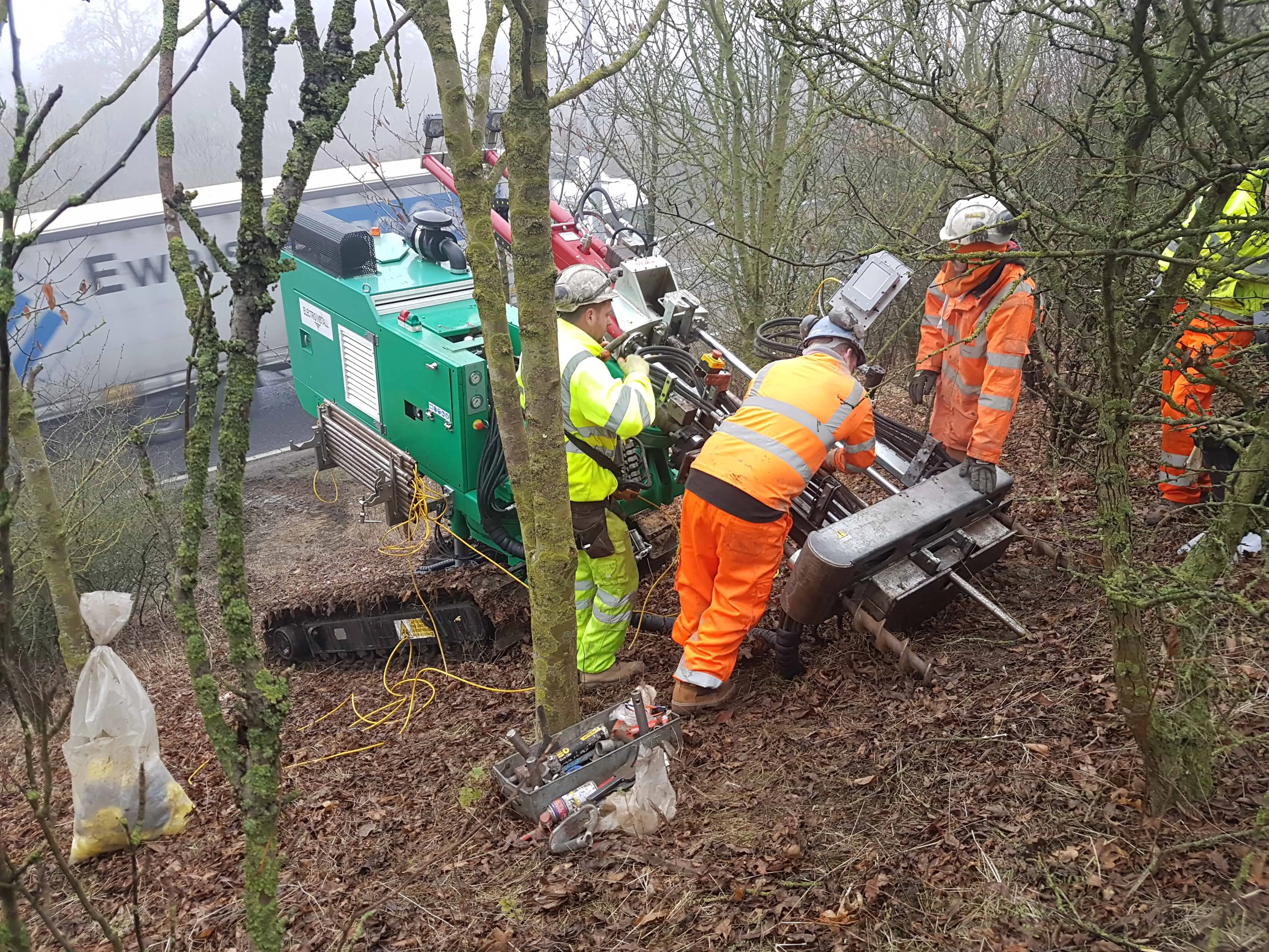
Central Alliance, a pre-construction services company based in northern England, has set up a geotechnical division called Geo Construction. The company’s investment in the new division includes acquisition of specialist drilling contractor Electro Install that focuses on geotechnical and slope climbing proficiencies. Electro Install’s rigs have full body and mast rotation, enabling Central Alliance to carry out ground investigation in the same orientation and location as proposed remedial works such as
December 19, 2017 Read time: 2 mins
Central Alliance has all the angles covered

8653 Central Alliance, a pre-construction services company based in northern England, has set up a geotechnical division called Geo Construction.

The company’s investment in the new division includes acquisition of specialist drilling contractor Electro Install that focuses on geotechnical and slope climbing proficiencies.

Electro Install’s rigs have full body and mast rotation, enabling Central Alliance to carry out ground investigation in the same orientation and location as proposed remedial works such as soil nailing or Electrokinetic slope stabilisation techniques. The company said that this will significantly minimise the risk of unforeseen ground conditions and provide valuable data to inform more accurate pricing and methodology for construction.

The fleet of specialist slope access rigs, combined with Central Alliance’s other surveying techniques including unmanned aerial systems and multiplatform mobile mapping solutions, can be used across the construction industry from highways and energy work to residential developments.

Central Alliance said that it is already working on projects using the specialist slope climbing rigs, said group technical director Richard Pidcock who is heading up Geo Construction. Pidcock has more than 20 years in geotechnical related fields.

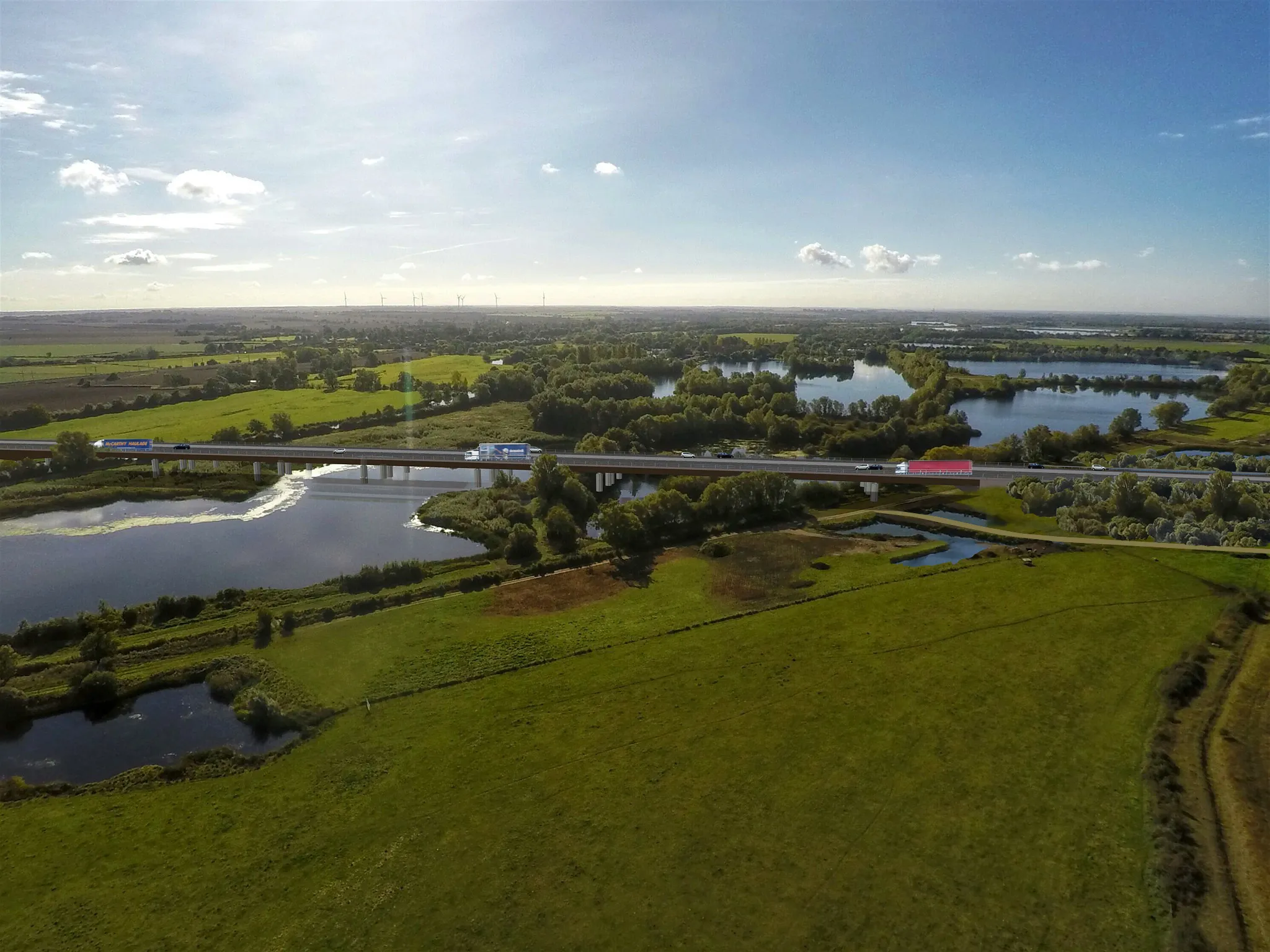
Central Alliance has just completed ground investigation work on the nearly €1.7 billion A14 highway improvement scheme at Brampton Hut, in the county of Cambridgeshire, for co-clients Amey and the government agency Highways England.

For more information on companies in this article

Related Content

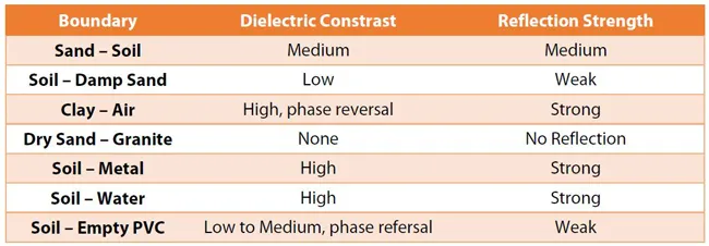
  • Proper GPR Surveying Techniques
    May 10, 2019
    A sustainably good road surface often depends on how well understood is the ground underneath the road’s route. Brian Jones* offers some best practice and advice for getting the most from ground-penetrating radar investigations Ground-penetrating radar (GPR) is one of the most accurate non-destructive testing (NDT) methods available. To get the most from GPR surveying, it is absolutely essential to understand how GPR tools work and follow best practices when conducting surveys. Key areas to be aware o
  • The A14 Cambridge to Huntingdon improvement scheme takes shape
    May 31, 2017
    Highways England’s project manager gives sneak peek into progress on the UK’s biggest road upgrade now under construction. Road construction workers often find interesting buried items when building roads and the UK’s A14 Cambridge to Huntingdon improvement scheme is proving the point. It’s been less than half a year since construction started on the €1.76 billion A14 scheme, Highways England’s largest ongoing project. Highways England is the wholly government-owned company responsible for modernising, main
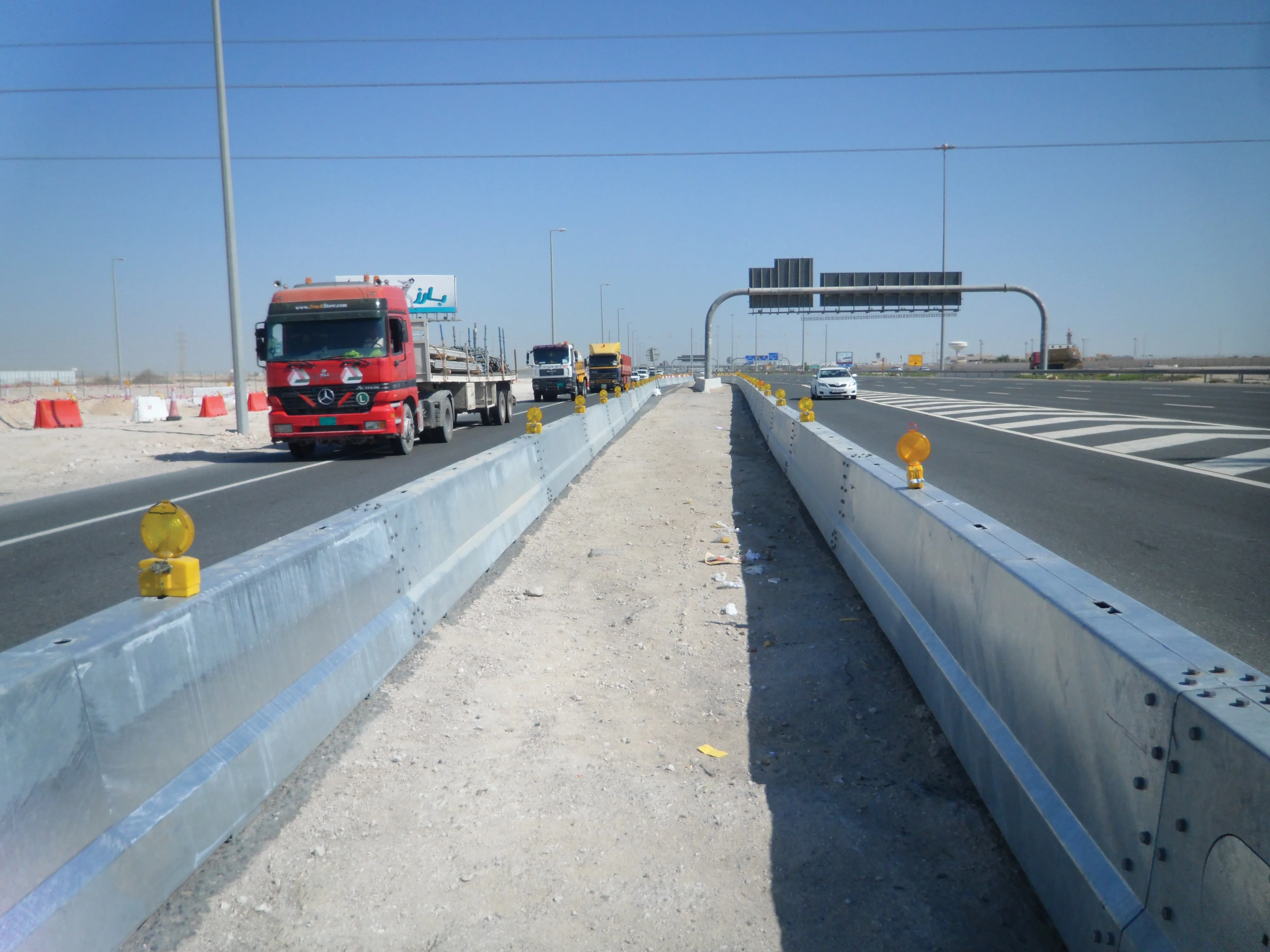
  • Focusing on workzone safety systems
    March 16, 2012
    The US has seen a major reduction in deaths following accidents in its highway construction work zones, while Europe and other parts of the world are looking at new safety technology and systems to trigger a similar trend. Guy Woodford reports. Work in the US to reduce the likelihood of potentially fatal accidents at highway work zones is paying dividend.
  • Software firm acquired by Bluebeam
    June 18, 2018
    Technology specialist Bluebeam is broadening its portfolio with the acquisition of the privately owned firm Project Atlas. The purchase will expand Bluebeam’s capabilities as Project Atlas developed a digital mapping engine that uses geo-location instead of traditional folder structures to organise and visualise 2D plans and construction data. This location-based orientation allows design and construction professionals to create and search a digital map of their project that contains plans, people, material