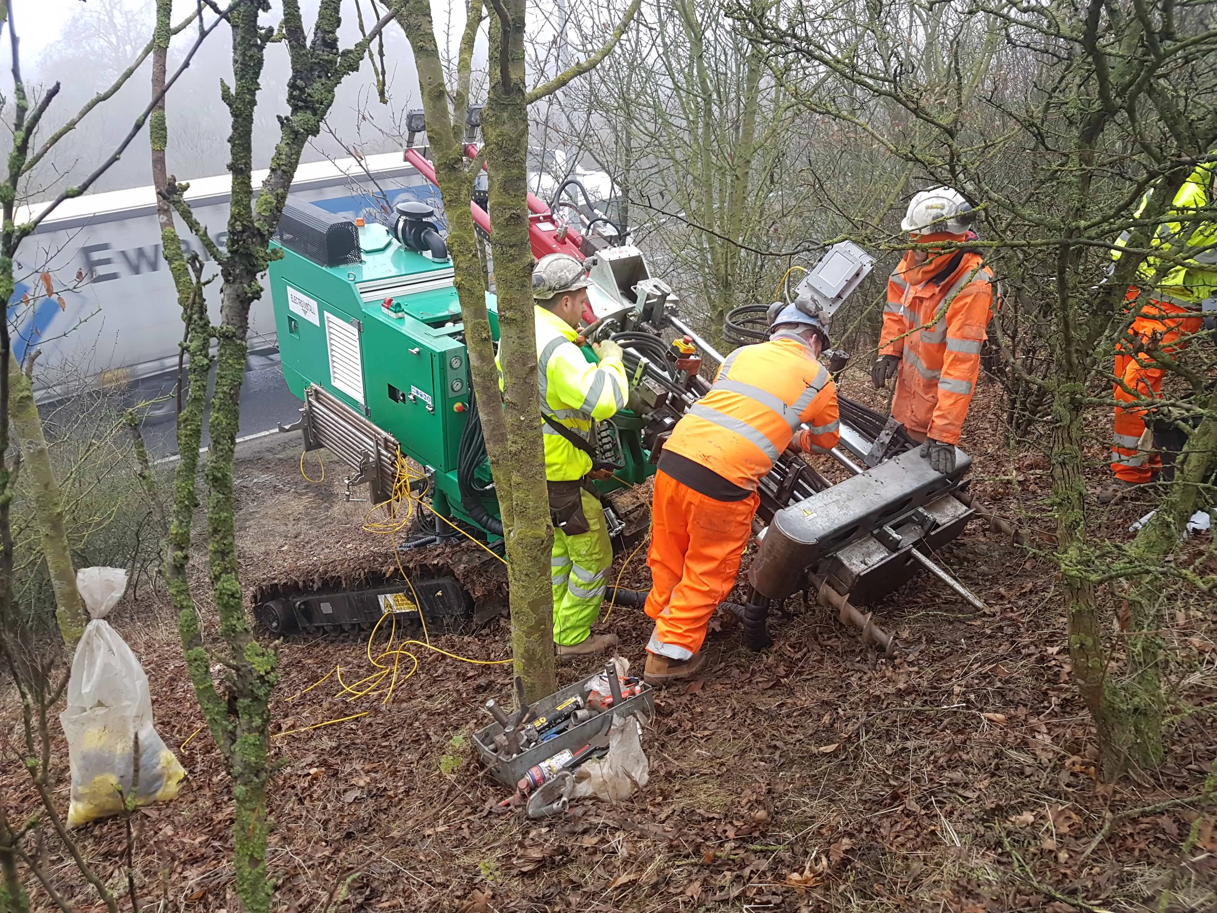
The company’s investment in the new division includes acquisition of specialist drilling contractor Electro Install that focuses on geotechnical and slope climbing proficiencies.
Electro Install’s rigs have full body and mast rotation, enabling Central Alliance to carry out ground investigation in the same orientation and location as proposed remedial works such as soil nailing or Electrokinetic slope stabilisation techniques. The company said that this will significantly minimise the risk of unforeseen ground conditions and provide valuable data to inform more accurate pricing and methodology for construction.
The fleet of specialist slope access rigs, combined with Central Alliance’s other surveying techniques including unmanned aerial systems and multiplatform mobile mapping solutions, can be used across the construction industry from highways and energy work to residential developments.
Central Alliance said that it is already working on projects using the specialist slope climbing rigs, said group technical director Richard Pidcock who is heading up Geo Construction. Pidcock has more than 20 years in geotechnical related fields.
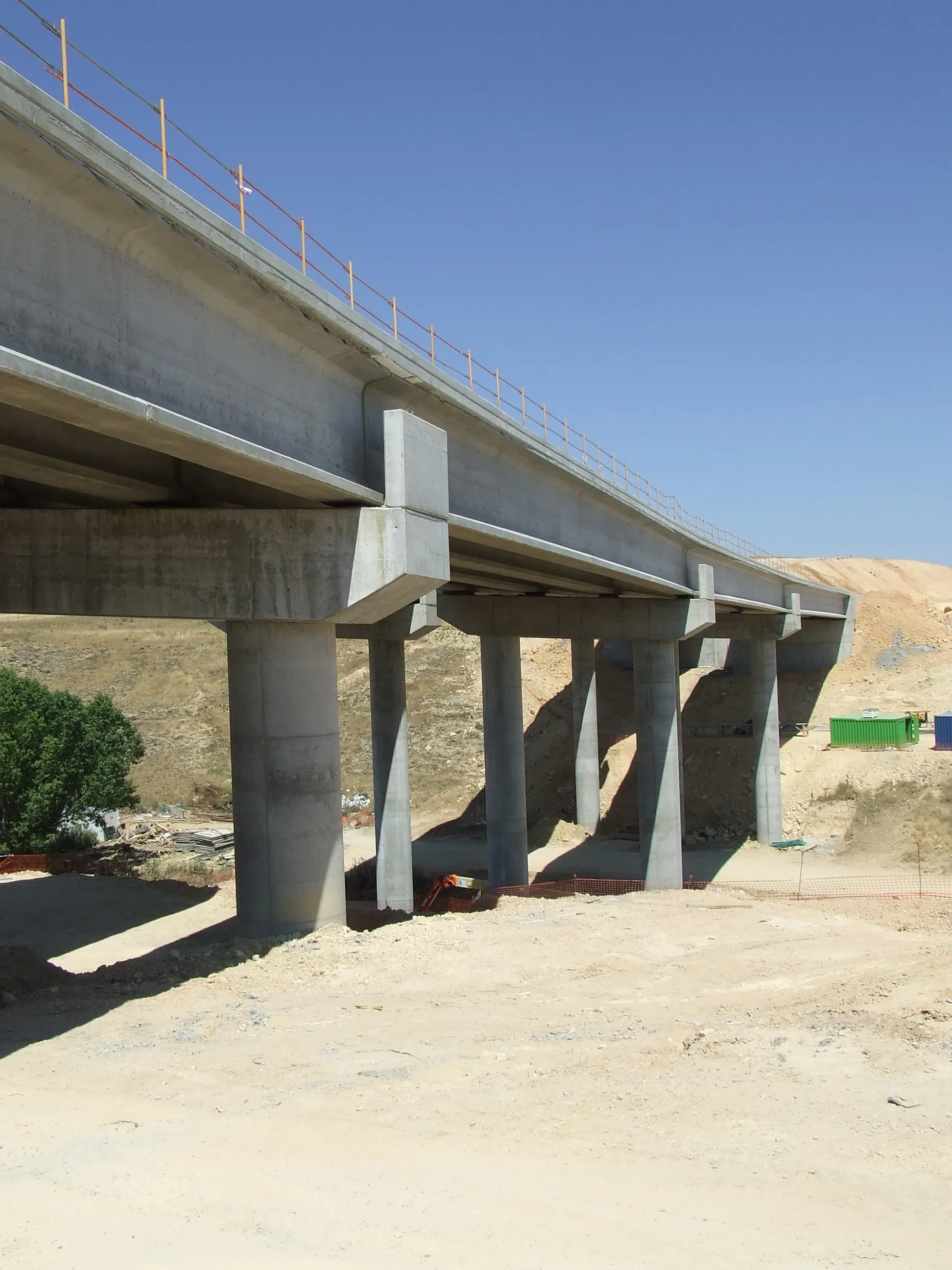
Central Alliance has just completed ground investigation work on the nearly €1.7 billion A14 highway improvement scheme at Brampton Hut, in the county of Cambridgeshire, for co-clients Amey and the government agency Highways England.