Bentley Systems has announced new capabilities of its iTwin Platform to create and leverage digital twins in design, construction and operations workflows.
The infrastructure engineering software company says the improvements to its iTwin platform significantly extend the scope and interoperability of infrastructure data for use by engineering firms as well as owner-operators of infrastructure.
The new iTwin Platform capabilities will power Bentley Infrastructure Cloud, a set of solutions that span the end-to-end infrastructure lifecycle and value chain, encompassing ProjectWise, SYNCHRO and AssetWise, unified and made interoperable by Bentley’s infrastructure schemas.
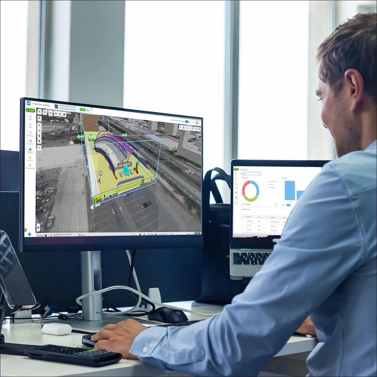
iTwin Experience is a new cloud product to empower owner-operators’ and their constituents’ insights into critical infrastructure by visualising and navigating digital twins. Significantly, iTwin Experience accelerates engineering firms’ “digital integrator” initiatives to create and curate asset-specific digital twins, incorporating their proprietary machine learning, analytics and asset performance algorithms. iTwin Experience overlays engineering technology (ET), operations technology (OT) and information technology (IT) to enable users to visualise, query and analyse infrastructure digital twins at any level of granularity, at any scale and all geo-coordinated and fully searchable.
The additional iTwin products are iTwin Capture and iTwin IoT.
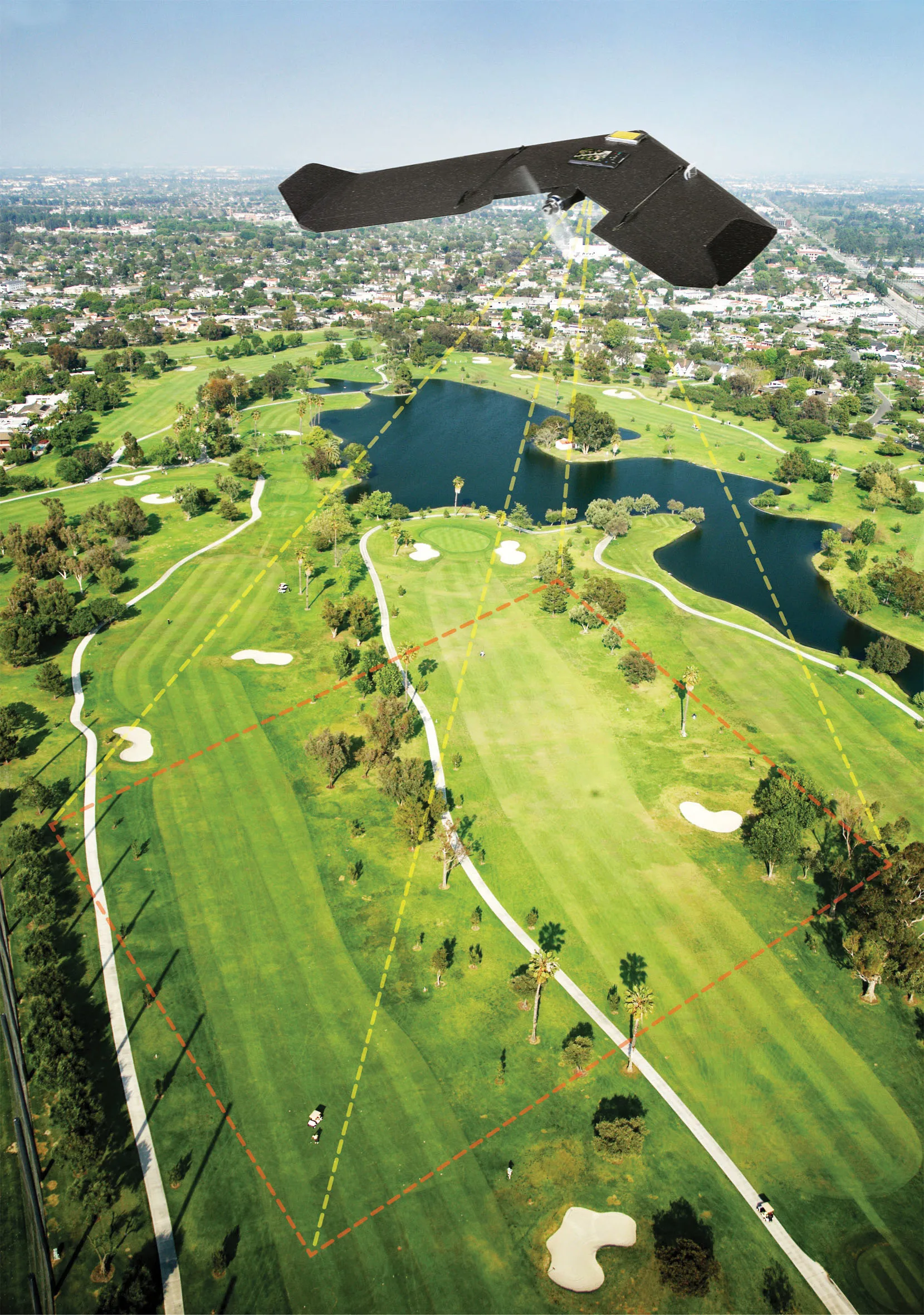
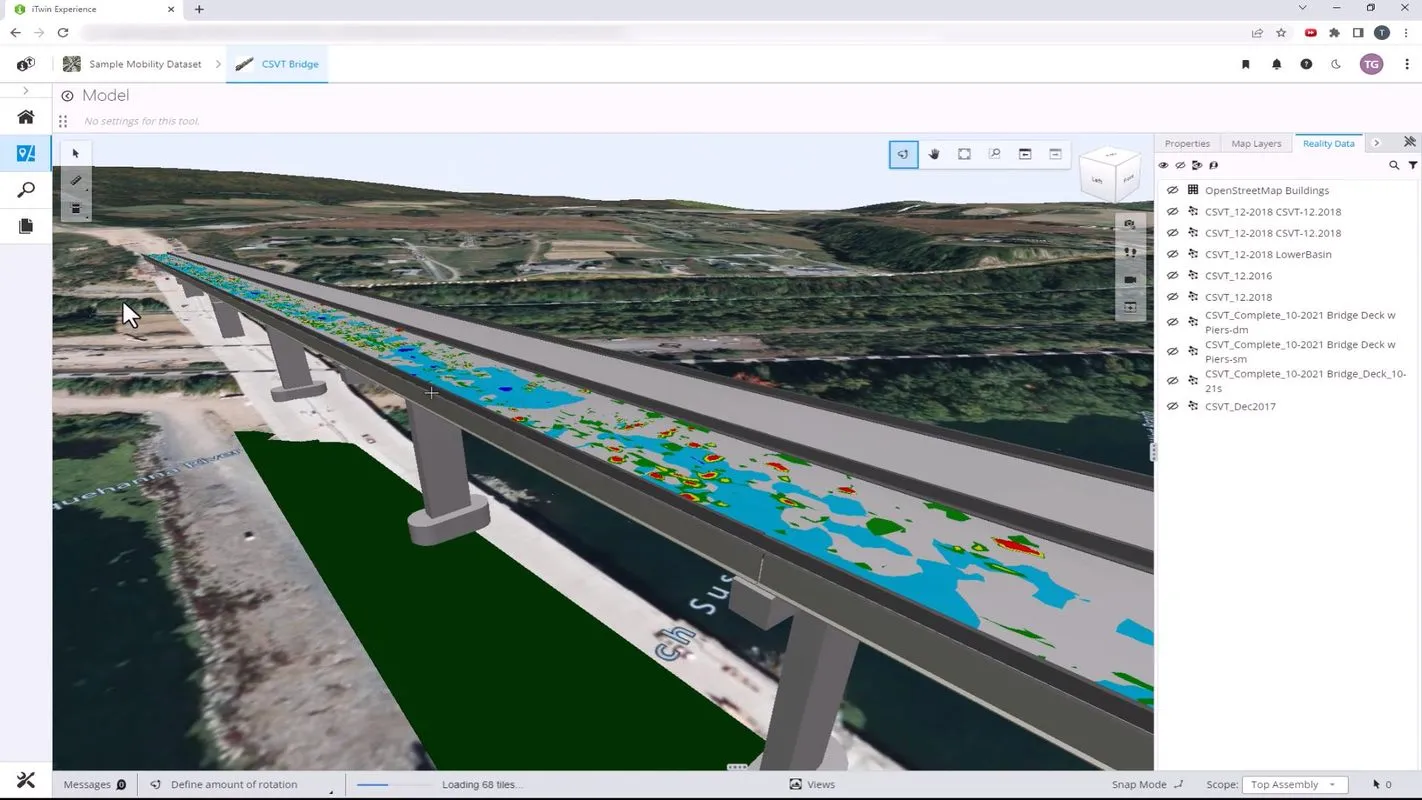
iTwin Capture, for capturing, analysing, and sharing reality data, enables users to easily create engineering-ready, high resolution 3D models of infrastructure assets using drone video and survey imagery from any digital camera, scanner or mobile mapping device. Infrastructure digital twins of any existing assets can accordingly start with reality modeling, rather than requiring a BIM model. iTwin Capture offers the highest-fidelity and most versatile means of capturing reality to serve as the digital context for surveying, design, monitoring and inspection processes.
Meanwhile, iTwin IoT, for acquiring and analysing sensor data, enables users to seamlessly incorporate Internet of Things (IoT) data created by sensors and condition monitoring devices. Infrastructure IoT can be used effectively for real-time safety and risk monitoring in operations and construction activities, including to measure and visualise environmental changes, structural movement or deterioration for condition assessment, maintenance scheduling and to prompt precautionary interventions. By securely incorporating real-time data at scale from among hundreds of sensor types, iTwin IoT increases the value of engineering and geotechnical data.
At Bentley’s recent 2022 Going Digital Awards in London, the proportion of finalists crediting iTwin reached 42%.
iTwin Experience will be available soon, but iTwin Capture and iTwin IoT are available now. iTwin Experience incorporates capabilities from OpenCities Planner. iTwin Capture incorporates capabilities from ContextCapture and Orbit 3DM. iTwin IoT incorporates capabilities from the sensemetrics platform and Vista Data Vision.