Advanced structural monitoring from Teleco

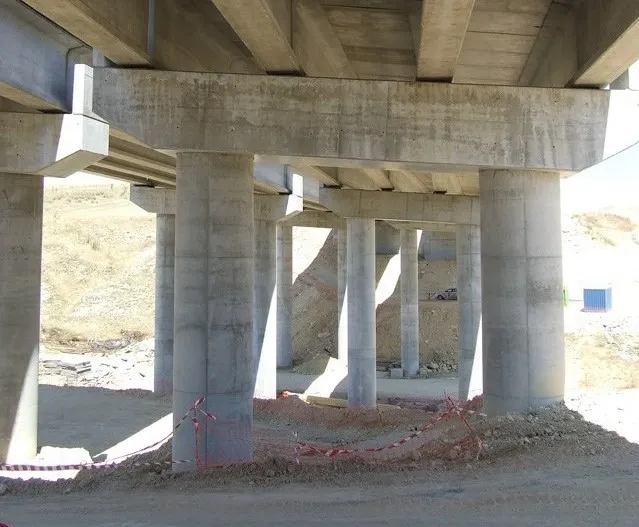
Teleco’s novel SHM602 system has been developed in partnership with the Interdepartmental Centre for Buildings and Construction at Bologna University and offers real-time monitoring of structural integrity of structures. This system operates on the basis of dynamic models obtained by means of identification techniques from accelerometric measures performed on the structure to be monitored. It relies on advanced measure, filtering and identification techniques and allows a real-time remote access to all data
January 5, 2016 Read time: 2 mins
8293 Teleco’s novel SHM602 system has been developed in partnership with the Interdepartmental Centre for Buildings and Construction at Bologna University and offers real-time monitoring of structural integrity of structures. This system operates on the basis of dynamic models obtained by means of identification techniques from accelerometric measures performed on the structure to be monitored. It relies on advanced measure, filtering and identification techniques and allows a real-time remote access to all data, including acceleration and temperature.

Advanced features of the SHM602 allow filtering and modelling operations to be performed inside every measuring unit, the use of robust and reliable MEM sensors. The use of a digital bus allows non-invasive and reliable implementation on large structures where traditional analogue systems would require expensive and invasive radial connections and auxiliary hardware to limit signal deterioration over distance. s that must be

The smart architecture of the connection network allows the construction of global models suitable for detecting possible problems in the points where the sensors have been allocated and also in interconnecting substructures. Another important task performed by the computational resources allocated inside every sensing unit concerns the real-time monitoring of the correct performance of every sensor and the automatic exclusion of faulty sensors.

The SHM602 is a modular system and can be configured as required to optimise cost and performance. The SHM602 includes software packages allowing the configuration of the sensor network, data acquisition and storage, and real-time modal analysis of the monitored structures. It can operate both on structures affected by factors such as vehicle traffic, wind or seismic events.

A significant test on the SHM602 has been recently performed on the Manhattan Bridge, New York City, as part of a joint project between Columbia and Bologna Universities. The unit I said to be robust and able to cope with long use in difficult applications.

For more information on companies in this article

Related Content

  • Weigh in motion technology reduces road damage
    February 8, 2012
    Overweight vehicles cause enormous damage to road structures but they can be caught, even at high speed. Weigh-in-motion or WIM devices are designed to capture and record axle weights and gross vehicle weights as vehicles drive over a measurement site.
  • Monitoring software update from Trimble
    November 15, 2019
    Trimble is offering an updated version of its real-time monitoring software, the 4D Control package. This Version 5.0 upgrade offers new features that allow users to streamline real-time structural monitoring system deployment as well as simplify the connection to geotechnical sensors. Trimble 4D Control software allows project stakeholders to monitor critical infrastructure such as dams and bridges along with buildings surrounding construction sites and tunnels.
  • Latest GIS and software tools improve operations
    February 24, 2012
    Innovative GIS and software solutions are coming to market from the three key market players - Mike Woof reports Competition is strong in the field for GIS and surveying systems as well as the associated software. The three major players in the sector, Leica Geosystems, Topcon and Trimble, all invest heavily in research and development and continue to roll out new solutions for construction customers that will boost the efficiency of surveying as well as overall project implementation.
  • Positioning tools continue to improve
    July 16, 2012
    Topcon says that its new IP-S2 package combines GNNS positioning capabilities with inertial sensors, while the firm also has a solution for customers wanting to mix and match receiver components. The IP-S2 is a vehicle-mounted, mobile 3D tool that offers precision mapping and surveying capabilities. The package collects data using 3D laser scanners, LIDAR, and/or cameras, and this is then integrated, time-stamped and geo-referenced. The customer can use this assembled data to combine LIDAR point cloud and d