Nuclear technology can provide structural assessments

Technology developed for the nuclear industry can provide structural assessments.
By MJ Woof March 7, 2024 Read time: 2 mins
An innovative technology from Estonian firm GScan can be used to assess the integrity of structures such as London’s troubled Hammersmith Bridge for example – image courtesy of © William Barton|Dreamstime.com


An innovative technology developed for the nuclear industry can be used to assess the structural conditions of tunnels and bridges. Deep-tech company GScan uses cosmic rays combined with AI/ML to provide precise assessments of the structural integrity and chemical composition of infrastructure, ensuring ongoing safety and longevity.  

Decay, cracks and corrosion can compromise the structural integrity of transport systems, risking public safety. A pilot project on a nuclear reactor scanning proved this innovative technology for use on a broad range of engineering applications.

The firm can deliver infrastructure assessments for assets like bridges and tunnels. The company will conclude a project with National Highways, scanning for steel components in a post-tensioned concrete bridge next month. 
The Estonian deep tech GScan uses  muon flux scanning and this technology has the capability to penetrate over 1m of concrete and imaging steel, allowing non-invasive assessments across various industries.

GScan uses naturally occurring cosmic rays known as muons to ‘reveal’ items that may be hidden within tens of metres of a structure. Around 10,000 muons/m2 pass harmlessly through individuals, buildings and structures every minute, changing direction and speed based on the chemical composition of the objects they encounter. GScan’s scanners detect changes to the flow of muons (muon flux); it then uses artificial intelligence (AI) to analyse this information, creating 3D models of the structure accurate to 1cm.

Muon flux scanning shows significant promise in industries where traditional assessment methods fall short due to extreme conditions or access limitations. “GScan’s technology isn’t just a tool for decommissioning plants; it can be used to optimise the ongoing maintenance of facilities in challenging or difficult-to-access environments. Our method allows for a detailed and non-invasive analysis of almost any structure, helping to identify degradation and structural weaknesses before they become critical,” added Andi Hektor.
 

Related Content

  • Innovative vehicle technology
    March 15, 2012
    A partnership between the VTT Technical Research Centre of Finland, Mobisoft and the Finnish Meteorological Institute and other bodies has developed a communication system for drivers to inform them about weather and road conditions.
  • The Fehmarnbelt Tunnel, another Danish connection
    June 20, 2017
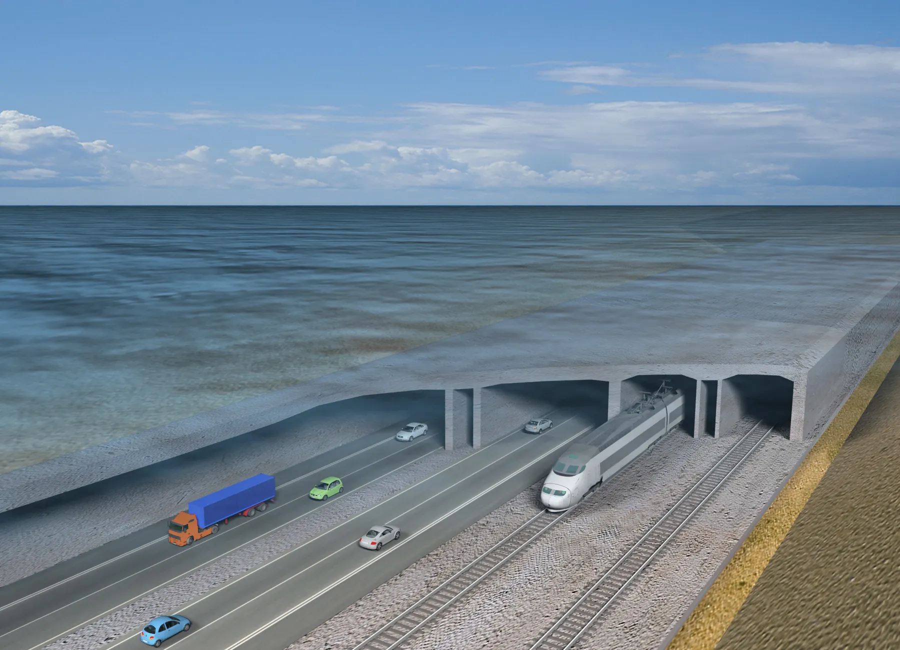
    The Fehmarnbelt Tunnel between Denmark and Germany is both ambitious and innovative, explains Susanne Kalmar Pedersen, project director at design engineering firm Ramboll, adviser to the client Fehmarn A/S. The ambitious Fehmarnbelt Tunnel - one of Europe’s largest ongoing infrastructure projects - is a priority project within the EU’s Trans European Network (TEN-T) programme. It will link the German island of Fehmarn with the Danish island of Lolland. The tunnel is an 18km immersed combined road and rail l
  • Preventive maintenance - preserving pavements
    February 14, 2012
    In the first article of a three-part series on preventive maintenance, Alan S. Kercher, of Kercher Engineering, highlights the value to road agencies of a properly implemented pavement preservation programme For many road agencies, the budget for maintenance, rehabilitation and reconstruction (MR&R) of their roads is focused mainly on the pavements that are in the worst condition. In the short term, this common approach may seem very logical. However, when focused on expensive structural improvements,
  • Data handling for efficient machine control
    October 16, 2012
    The rapid increase in information availability is transforming the construction sector. Conventional methods used for sourcing geographic data based on maps and localised sampling meant that there was often a lack of accurate information relating to ground conditions at specific areas where work was planned, often resulting in unwelcome surprises for construction companies along with additional costs for projects.