
Netherlands road widening deal for Fugro

A road widening contract in the Netherlands is being handled by Fugro.
By MJ Woof April 22, 2020 Read time: 1 min
Plan view of A9 highway near Amstelveen after successful upgrade and expansion – image © courtesy of Fugro

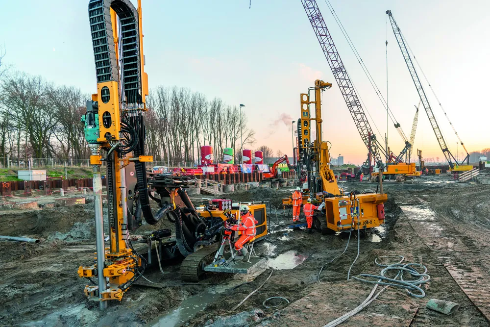
Fugro will work on a three-year contract on the widening of the A9 highway in the Netherlands. The firm’s contract covers geotechnical and design work for the A9 highway upgrade and expansion project.

In addition to geotechnical ground investigation work, Fugro will provide geotechnical design for all civil structures. This includes ground-retaining walls and earthworks for widening the highway. The scope of work includes preparation of a 3D ground model, which will facilitate more efficient scenario analysis and integration with the project’s building information model (BIM).

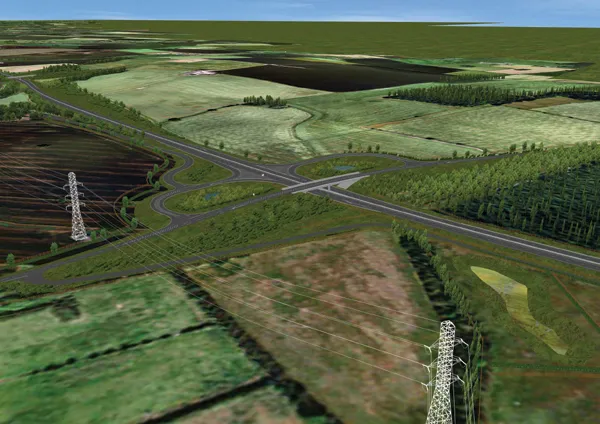
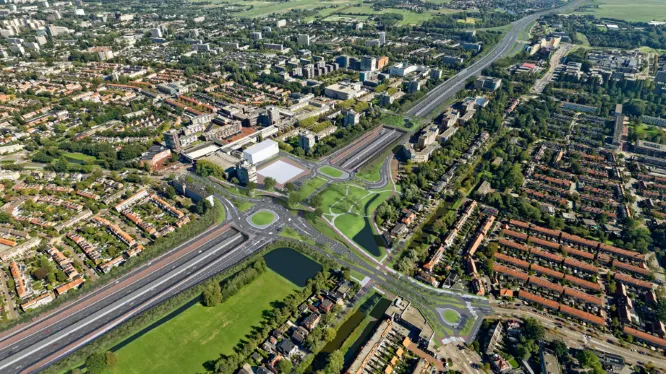
The A9 project is for the widening of 10km of existing highway between the Holendrecht and Badhoevedorp junctions. It includes a deep cutting nearly 2km long. This section of the A9 passes through a densely populated area between Schiphol and Amsterdam, which presents additional challenges for the acquisition of Geo-data along this busy stretch of road.

The ground investigation itself will comprise more than 1,500 cone penetration tests, 90 deep soil borings, 150 hand auger borings, and laboratory tests on selected samples. Fugro will compile these acquired Geo-data and other deliverables into a single integrated geographic information system (GIS) for streamlined project management and analysis.

For more information on companies in this article

Related Content

  • GEWI piles for Blankenburg Connection
    June 17, 2020
    BAUER Funderingstechniek is installing GEWI micropiles with threads as part of Rotterdam’s new 4km-long A24 highway that includes two tunnels under the Scheur River
  • Czech Republic highway deal for consortium
    October 8, 2020
    A highway deal in the Czech Republic will be handled by a consortium.
  • Smart constructioon with GIS, GPS design technology
    February 16, 2012
    A UK highway project has benefited from the latest software, GIS and GPS technology, Mike Woof reports. Sophisticated software, GIS and GPS technology has played an important role in a large highway upgrade project in the UK and helping to increase efficiency and drive down construction costs.
  • Proper GPR Surveying Techniques
    May 10, 2019
    A sustainably good road surface often depends on how well understood is the ground underneath the road’s route. Brian Jones* offers some best practice and advice for getting the most from ground-penetrating radar investigations Ground-penetrating radar (GPR) is one of the most accurate non-destructive testing (NDT) methods available. To get the most from GPR surveying, it is absolutely essential to understand how GPR tools work and follow best practices when conducting surveys. Key areas to be aware o