
Paving control package for concrete or asphalt pavers

Leica Geosystems has launched v3.0 of its Leica PaveSmart 3D system, which is designed specifically for concrete and asphalt paving and milling applications. This upgraded package is now said to support a wider range of paving equipment and applications than before. PaveSmart 3D v3.0 will be available late March 2012 through Leica Geosystems’ direct sales and approved paving solution distribution channels, including GOMACO.
March 16, 2012 Read time: 2 mins
The sophisticated paving control package from Leica Geosystems is also offered through GOMACO due to its partnership with the firm
265 Leica Geosystems has launched v3.0 of its Leica PaveSmart 3D system, which is designed specifically for concrete and asphalt paving and milling applications. This upgraded package is now said to support a wider range of paving equipment and applications than before. PaveSmart 3D v3.0 will be available late March 2012 through Leica Geosystems’ direct sales and approved paving solution distribution channels, including 218 Gomaco.

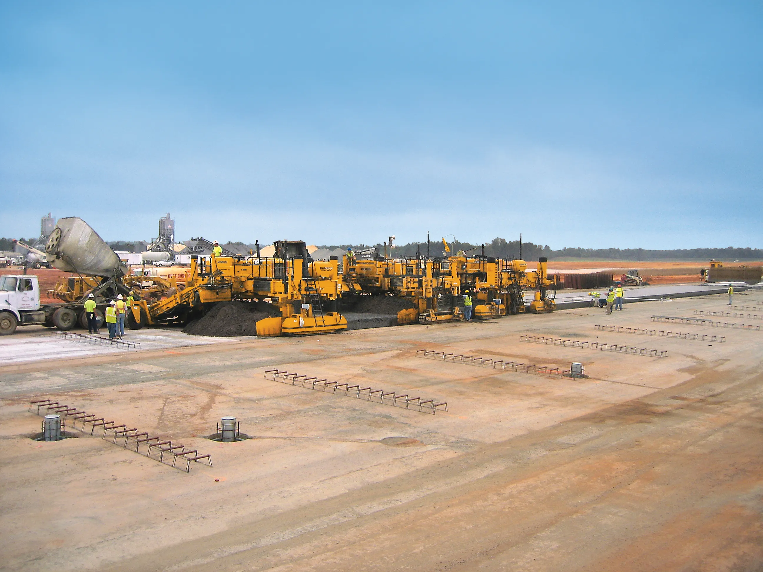
Designed specifically for paving contractors, PaveSmart 3D v3.0 offers all-track grade and steering for slipform and roller-compacted concrete paving and placing. It can also be used in asphalt paving and milling, fine-grade trimming and surface mining applications. With operators in mind, PaveSmart 3D v3.0 is said to offer advances in ease of use, 3D design capabilities, setup and configuration for multiple pieces of equipment to make field crews more productive and self-managing.

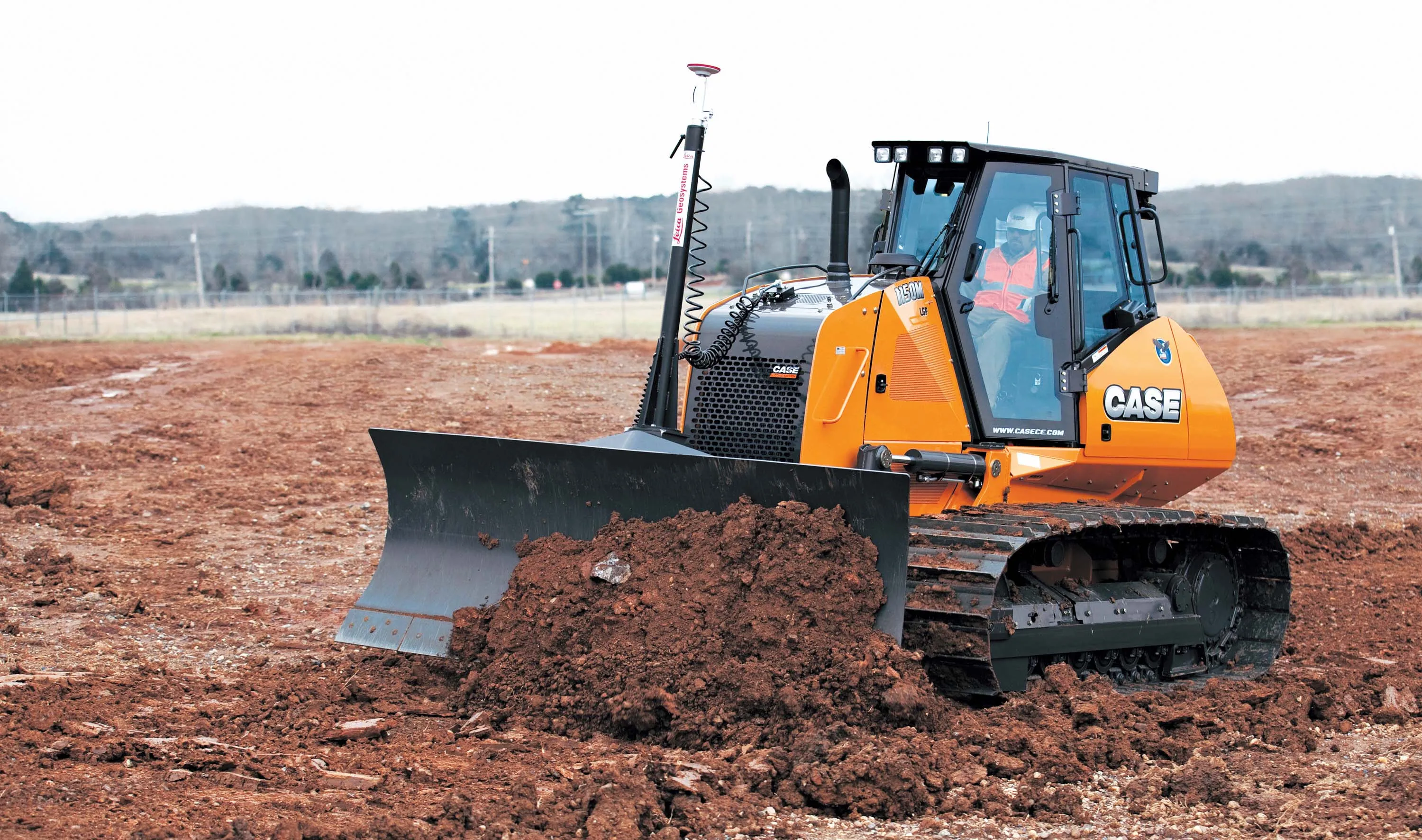
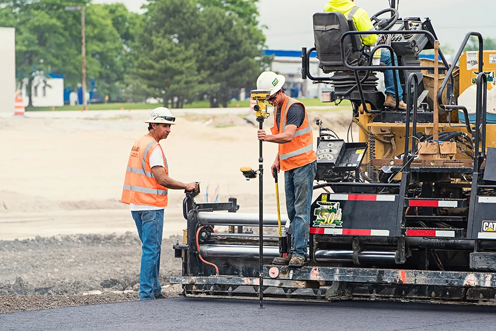
This system helps maintain flexible jobsite layouts and improve jobsite logistics and operate easier in challenging jobsite environments such as narrow-width, urban and underground projects. The PaveSmart 3D system tracks the position of the paving machine in real-time, in relation to a 3D model of the jobsite, automatically regulating steer and elevation hydraulics to produce the finished concrete or asphalt product directly from the original 3D designs.

Using Leica Geosystems’ robotic total stations and GPS, Leica PaveSmart 3D v3.0 extends Leica Geosystems’ X-Function data modelling and sharing concept to contracting. Job design data can be generated at the start of the project, then can be shared between any CAD system, and Leica Geosystems’ surveying and machine control equipment on the jobsite. PaveSmart 3D v3.0 is the result of 13 years research, development and client satisfaction on hundreds of high-profile infrastructure projects worldwide.

For more information on companies in this article

Related Content

  • New industry developments push boundaries of machine control
    May 22, 2014
    A series of innovations in machine control or automation technologies are helping transform the construction industry - Mike Woof writes Equipment manufacturer have made huge advances in machine performance, delivering new models that offer increased capabilities and productivity, while using less fuel. Reliability and uptime too have been improved, with the development of equipment that can forestall unplanned downtime by telling the user when it will require service attention. Meanwhile new engines delive
  • Asphalt paving design advances
    June 15, 2012
    A diverse array of advanced paver designs is now being offered in the asphalt paving sector – Mike Woof reports With the World of Asphalt and INTERMAT 2012 events having both taken place in recent months, a series of innovations have been introduced for the asphalt paving market. Developments have come to market that widen the array of both US and European asphalt paving systems and all the major manufacturers have developed new pavers and materials feeders to meet the latest emissions requirements. Demand
  • Sophisticated asphalt paving control technology
    July 27, 2020
    Advances in asphalt paving control systems are helping contractors deliver higher efficiency
  • Latest GIS and software tools improve operations
    February 24, 2012
    Innovative GIS and software solutions are coming to market from the three key market players - Mike Woof reports Competition is strong in the field for GIS and surveying systems as well as the associated software. The three major players in the sector, Leica Geosystems, Topcon and Trimble, all invest heavily in research and development and continue to roll out new solutions for construction customers that will boost the efficiency of surveying as well as overall project implementation.