Paving control package for concrete or asphalt pavers

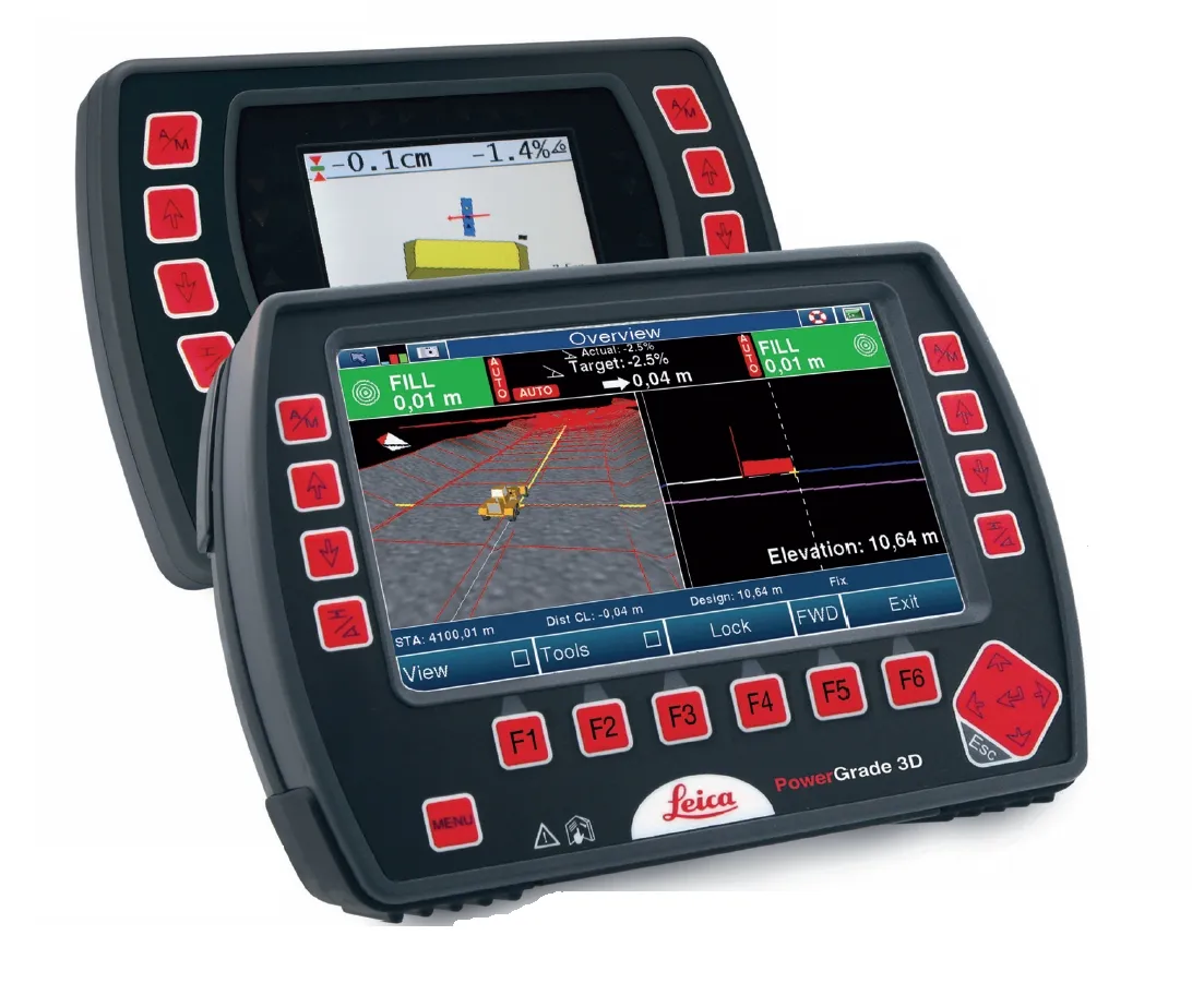
Leica Geosystems has launched v3.0 of its Leica PaveSmart 3D system, which is designed specifically for concrete and asphalt paving and milling applications. This upgraded package is now said to support a wider range of paving equipment and applications than before. PaveSmart 3D v3.0 will be available late March 2012 through Leica Geosystems’ direct sales and approved paving solution distribution channels, including GOMACO.
March 16, 2012 Read time: 2 mins
The sophisticated paving control package from Leica Geosystems is also offered through GOMACO due to its partnership with the firm
265 Leica Geosystems has launched v3.0 of its Leica PaveSmart 3D system, which is designed specifically for concrete and asphalt paving and milling applications. This upgraded package is now said to support a wider range of paving equipment and applications than before. PaveSmart 3D v3.0 will be available late March 2012 through Leica Geosystems’ direct sales and approved paving solution distribution channels, including 218 Gomaco.

Designed specifically for paving contractors, PaveSmart 3D v3.0 offers all-track grade and steering for slipform and roller-compacted concrete paving and placing. It can also be used in asphalt paving and milling, fine-grade trimming and surface mining applications. With operators in mind, PaveSmart 3D v3.0 is said to offer advances in ease of use, 3D design capabilities, setup and configuration for multiple pieces of equipment to make field crews more productive and self-managing.

This system helps maintain flexible jobsite layouts and improve jobsite logistics and operate easier in challenging jobsite environments such as narrow-width, urban and underground projects. The PaveSmart 3D system tracks the position of the paving machine in real-time, in relation to a 3D model of the jobsite, automatically regulating steer and elevation hydraulics to produce the finished concrete or asphalt product directly from the original 3D designs.

Using Leica Geosystems’ robotic total stations and GPS, Leica PaveSmart 3D v3.0 extends Leica Geosystems’ X-Function data modelling and sharing concept to contracting. Job design data can be generated at the start of the project, then can be shared between any CAD system, and Leica Geosystems’ surveying and machine control equipment on the jobsite. PaveSmart 3D v3.0 is the result of 13 years research, development and client satisfaction on hundreds of high-profile infrastructure projects worldwide.

For more information on companies in this article

Related Content

  • Control versatility
    July 2, 2012
    Leica Geosystems says that its CI-14 CAT Interface Module cuts installation time when fitting its 2D & 3D machine control systems to Caterpillar off-highway machines. Using the CI-14 package is said to eliminate the cost and effort of installing add-on hydraulic valves when fitting control tools from Leica Geosystems to Caterpillar K and T Series dozers and M Series graders. The CI-14 system can be used in conjunction with laser, slope, ultrasonic or 3D GPS/GNSS as well as the Leica PowerTracker total stati
  • Bentley’s point cloud innovation for information modelling in road design
    August 22, 2013
    Latest software packages from Bentley Systems will help optimise project design and construction efficiency – Mike Woof reports Software systems have come a long way in helping optimise construction projects from design through construction to delivery. And the latest software from Bentley Systems offers additional capabilities for road design applications. Bentley Systems is offering the V8i (SELECTseries 3) versions of its InRoads, GEOPAK, and MXROAD products. All of the products now share the
  • Road construction software innovations
    February 13, 2012
    A range of key software innovations are now available for road construction applications from various suppliers - Adrian Greeman writes. Two significant and highly economic alternatives are now available to the major CAD providers both from Belgium and both offering interesting features. First is Pythagoras, which describes itself as a modern CAD program specially designed for topographical applications which include land surveying, road design and city planning.
  • The new CBA asphalt granulator bucket
    October 1, 2021
    Available in two models: CBA 30 for 18 to 28-ton excavators, and CBA 40 for the 25 to 40-ton range