Paving control package for concrete or asphalt pavers

Leica Geosystems has launched v3.0 of its Leica PaveSmart 3D system, which is designed specifically for concrete and asphalt paving and milling applications. This upgraded package is now said to support a wider range of paving equipment and applications than before. PaveSmart 3D v3.0 will be available late March 2012 through Leica Geosystems’ direct sales and approved paving solution distribution channels, including GOMACO.
March 16, 2012 Read time: 2 mins
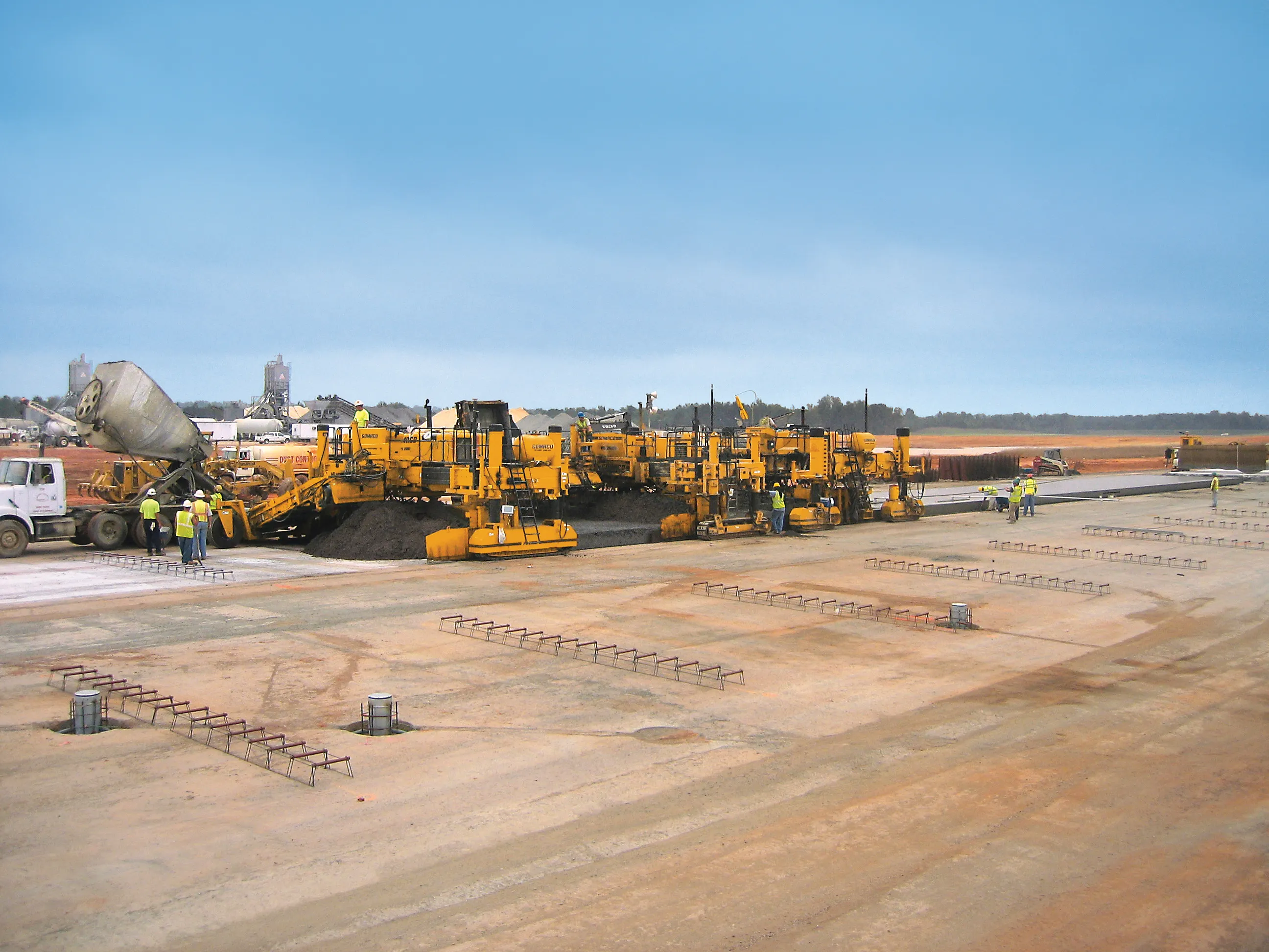
The sophisticated paving control package from Leica Geosystems is also offered through GOMACO due to its partnership with the firm
265 Leica Geosystems has launched v3.0 of its Leica PaveSmart 3D system, which is designed specifically for concrete and asphalt paving and milling applications. This upgraded package is now said to support a wider range of paving equipment and applications than before. PaveSmart 3D v3.0 will be available late March 2012 through Leica Geosystems’ direct sales and approved paving solution distribution channels, including 218 Gomaco.

Designed specifically for paving contractors, PaveSmart 3D v3.0 offers all-track grade and steering for slipform and roller-compacted concrete paving and placing. It can also be used in asphalt paving and milling, fine-grade trimming and surface mining applications. With operators in mind, PaveSmart 3D v3.0 is said to offer advances in ease of use, 3D design capabilities, setup and configuration for multiple pieces of equipment to make field crews more productive and self-managing.

This system helps maintain flexible jobsite layouts and improve jobsite logistics and operate easier in challenging jobsite environments such as narrow-width, urban and underground projects. The PaveSmart 3D system tracks the position of the paving machine in real-time, in relation to a 3D model of the jobsite, automatically regulating steer and elevation hydraulics to produce the finished concrete or asphalt product directly from the original 3D designs.

Using Leica Geosystems’ robotic total stations and GPS, Leica PaveSmart 3D v3.0 extends Leica Geosystems’ X-Function data modelling and sharing concept to contracting. Job design data can be generated at the start of the project, then can be shared between any CAD system, and Leica Geosystems’ surveying and machine control equipment on the jobsite. PaveSmart 3D v3.0 is the result of 13 years research, development and client satisfaction on hundreds of high-profile infrastructure projects worldwide.

For more information on companies in this article

Related Content

  • Software tools aid construction, reduce costs
    February 28, 2012
    Integrated construction software offers an effective planning solution - *Mark Nichols writes. In a world where resources are limited, 20 year designing and building in a sustainable way is more critical than ever. By employing today's software tools it is possible to reduce the total cost of construction of a new highway, while reducing operating costs and environmental impacts. The path to achieving the greatest gains is to take a holistic approach to the plan, design, construct and operate process from t
  • Milling machine developments to boost efficiency
    October 20, 2016
    A series of developments in the milling machine market will give customers both greater choice and performance – Mike Woof writes. Competition is heating up in the market for milling machines, which has been dominated for many years by Wirtgen. The German firm still retains a strong share of this market, but is now facing much tougher levels of competition from key rivals, and Atlas Copco, BOMAG, Caterpillar and Roadtec in particular. Meanwhile the market is also seeing the return of another familiar nam
  • Straight to the point for measurement
    February 6, 2018
    Leica Geosystems says it is introducing a major advance in site surveying. This offers a novel tilt compensation system, so that users are no longer required to hold the pole vertical. The new Leica GS18 T is claimed to be the world’s fastest GNSS RTK rover, while the firm is also offering the latest versions of Leica Captivate field software and Leica Infinity office software. With the addition of calibration-free GNSS and various upgrades to the Captivate field software and Infinity office software, use
  • Wirtgen slipform paver works in Brazil road contract
    May 15, 2015
    Local contractor Galvão Engenharia opted to use an SP 850 slipform paver from Wirtgen as one of the key machines in the job to upgrade and improve the Anel Viário de Fortaleza. This important highway connects Fortaleza, located in the federal state of Ceará, with the busy port of Pecém. The deepwater port in Pecém is some 60km from Fortaleza and since it was inaugurated in 2002, the city has become a primary port for exporting fruit products in refrigerated containers. Fuel and liquefied gas, fertilizer