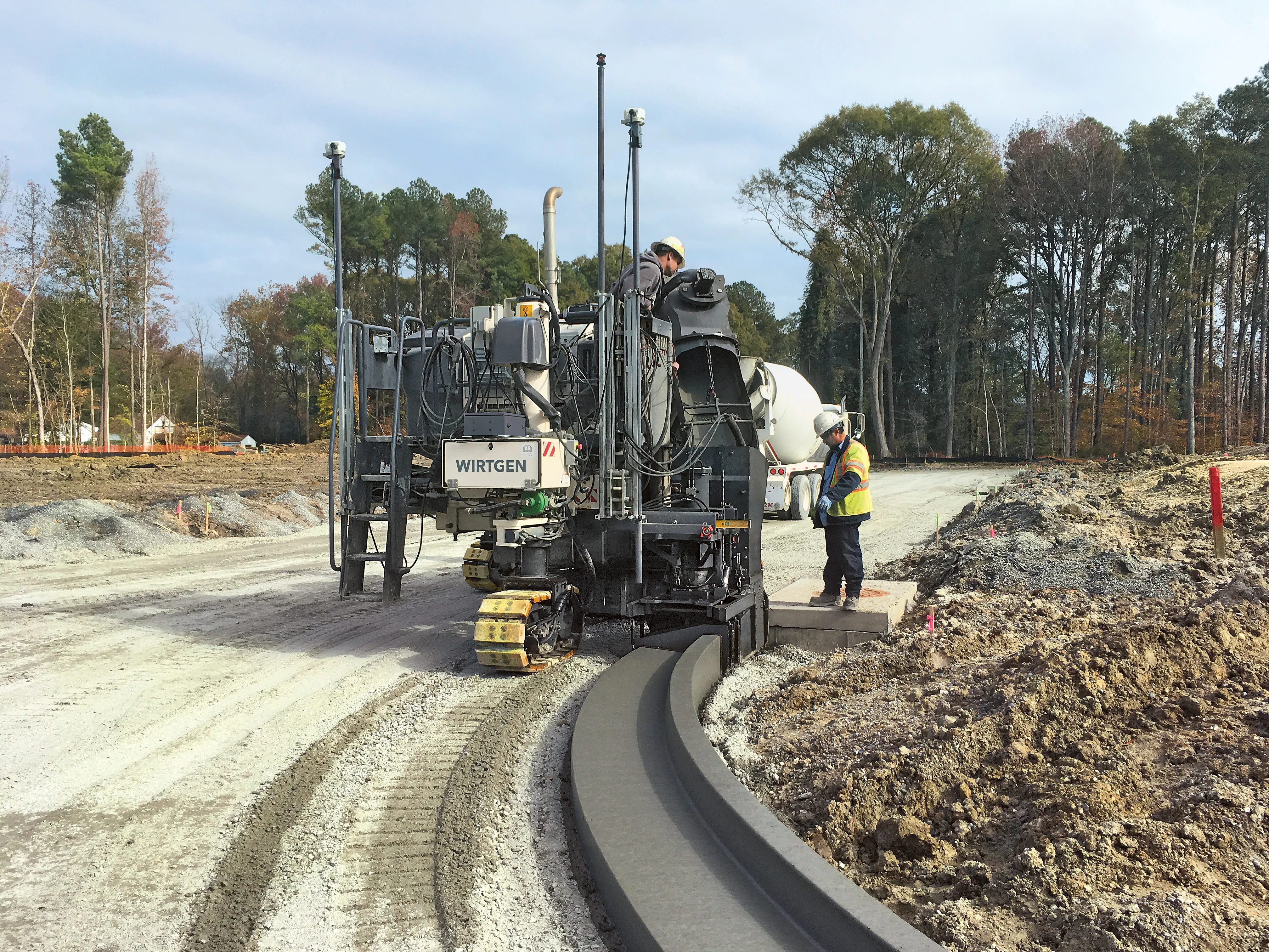
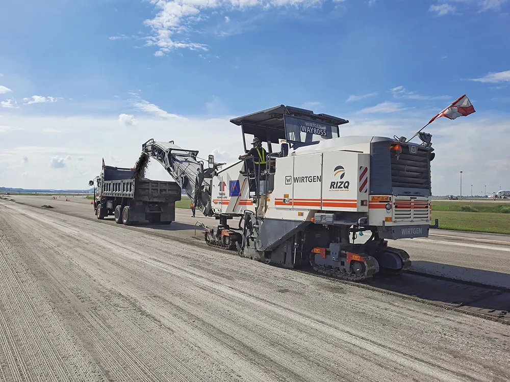
German contractor LEONHARD WEISS decided to take advantage of this advanced technology, employing a digital solution from Leica Geosystems for milling work on a job to upgrade the surface of the German A70 autobahn.
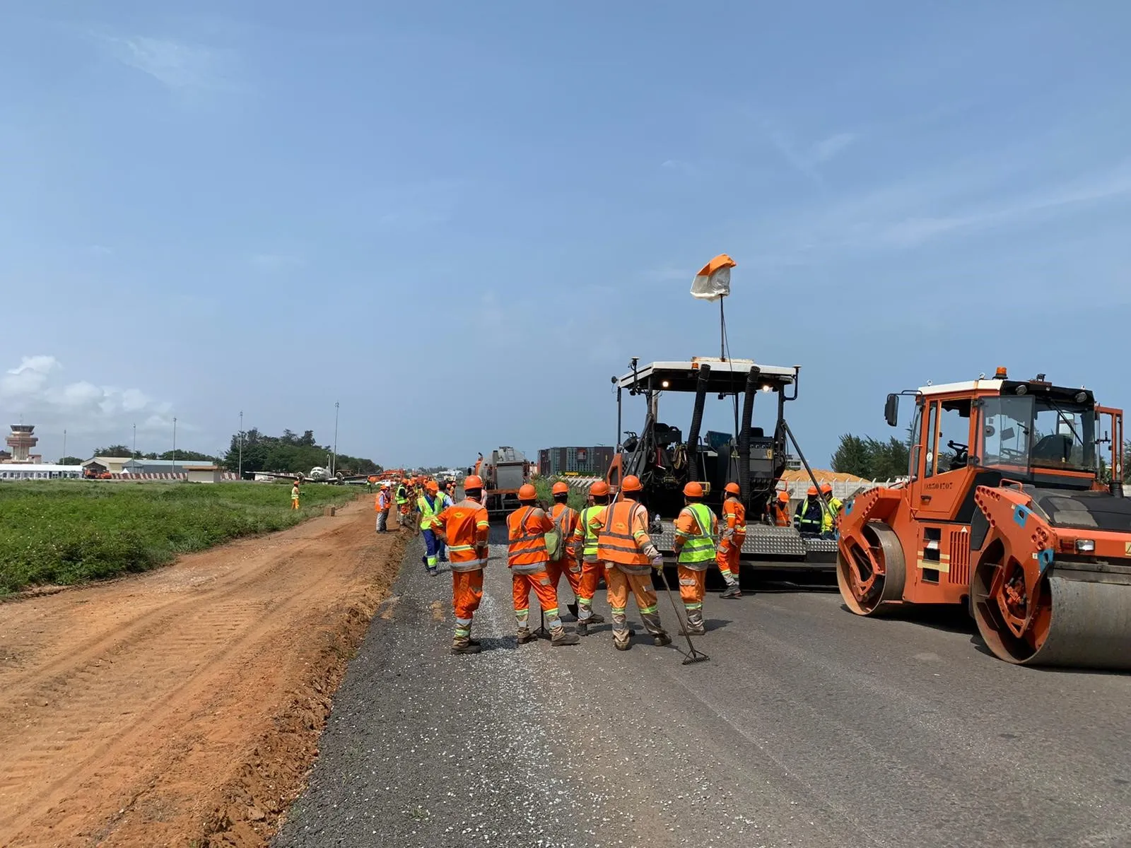
Mr Stahl, head of the surveying department at LEONHARD WEISS opted to use this technology to speed up the job and also ensure that the work could be carried out accurately. The state of Bavaria provided the design guide, including the planning data and the target values, to the construction company. For renovating a road, the job of milling existing layers is important as this provides the base for the new surface. An accurately milled substrate helps ensure a quality new asphalt base layer as well as reducing materials costs. This allows the contractor to work to the design guide and deliver precise cross slopes and gradients.
“The aim of this project is to use 3D profile milling to create a base with exactly the right profile, which we can then build on,” explained Stahl. He needed a system that would be ready to use quickly, so that the construction process would not be delayed.
The entry-level, GNSS-supported milling solution from Leica Geosystems met the key requirements from the contractor for a system that would be both easy to use and install. Stahl opted for the Leica iCON site Milling Pilot, having also had experience of other systems from the supplier.
LEONHARD WEISS was already using the Leica iCON iCG70 and iCG60 construction rovers, the CC80 construction controller, and the iCON site-field software, so introducing the Milling Pilot System was not a challenge. The iCON site software, developed specifically for positioning tasks in the construction industry and which runs on all Leica iCON-GNSS hardware, was of particular benefit.
“Our team found it easy to operate the Milling Pilot. The milling process was displayed graphically and it helped us to set the milling depth accurately,” stressed Stahl. A brief onsite introduction to the system was all that was needed for the milling team to be able to use the system.
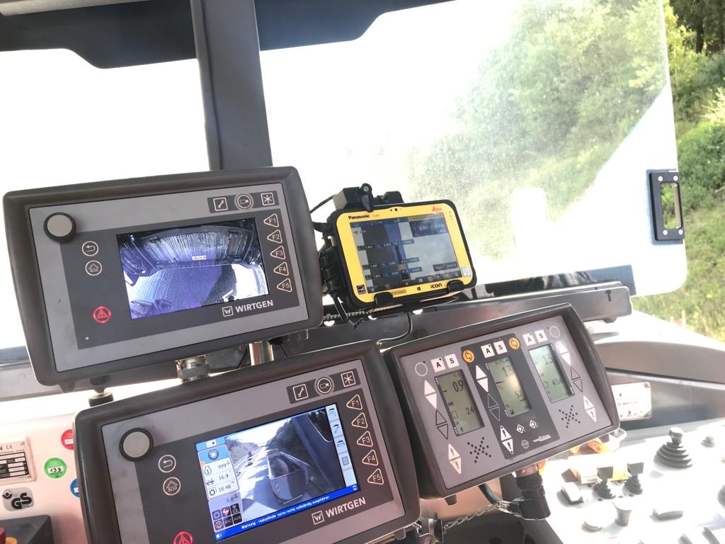
The existing site was surveyed digitally by an engineering firm and the data was then transferred into the iCON software. The target values from the design guide were then loaded into the software, and the delta, the section that needed to be milled away, was calculated. The two-step preview of the target and cross slope values on the main set points along the road enabled consistent milling with no unevenness.
The software’s visualisation function meant that the error-prone spray-on marking process was not necessary and it saved time and cost compared to manual preparation. The increased precision the system provides also avoided extra costs by preventing the milling work from going deeper than specified.
The iCON site Milling Pilot requires an iCON-GNSS smart antenna, a CC80 controller and the relevant software and was easy to install. Positioned on the top of the milling machine, the iCON gps 70 T antenna delivered the GNSS correction data to the controller. This data was then displayed graphically by the software.
Initially, the LEONHARD WEISS team rented the system to evaluate its performance and determine whether it met the requirement. As the package proved itself able to meet the firm’s needs, the contractor then opted to buy its own system. The firm said that the service and support it received from the Leica Geosystems team in Germany was helpful during the initial phase.
Stahl commented, “the Leica Geosystems team set up an individual installation just for us so that the system was powered directly from the machine, so there would be no need to charge batteries.”
And within a short space of time the entire milling team at LEONHARD WEISS was familiar with operating the iCON site Milling Pilot.