Leica Geosystems offers smart compaction tool

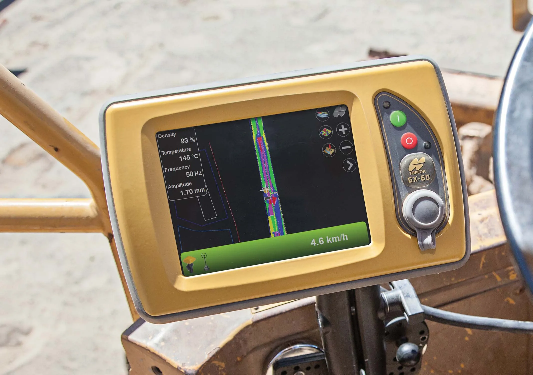
Leica Geosystems is now offering a sophisticated machine control tool for use with compaction equipment. The firm’s advanced iCON roller package is said to offer contractors an effective solution that can deliver constant and effective compaction on any site. The new iCON roller has on-screen visualisation to show the user where completed passes have occurred and where more are needed for consistent results. Colour coding helps avoid costly reworking as pass count progress is constantly tracked. The unit
January 12, 2017 Read time: 2 mins
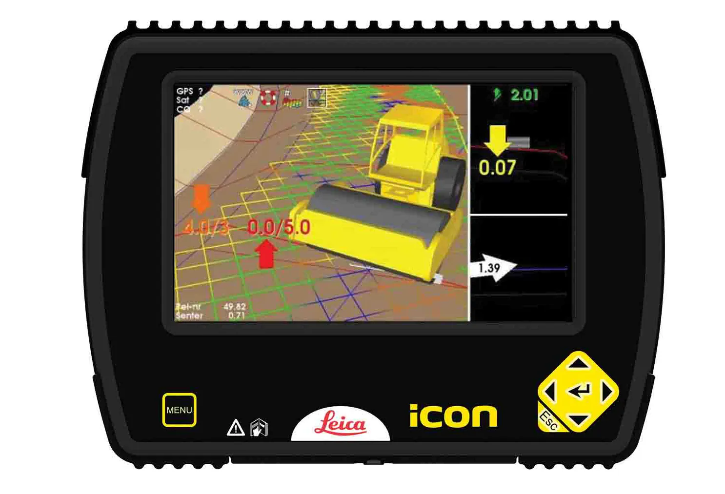
The new compaction tool from Leica Geosystems is said to boost accuracy
265 Leica Geosystems is now offering a sophisticated machine control tool for use with compaction equipment. The firm’s advanced iCON roller package is said to offer contractors an effective solution that can deliver constant and effective compaction on any site.

The new iCON roller has on-screen visualisation to show the user where completed passes have occurred and where more are needed for consistent results. Colour coding helps avoid costly reworking as pass count progress is constantly tracked. The unit is said to be simple to install and can be used on any soil and asphalt roller. It has a rugged panel that is fully protected for use on construction worksites, withstanding extreme temperatures and environmental conditions.

Using the firm’s high-accuracy GNSS solutions or total stations for work inside tunnels, precise positioning is achieved and continuously mapped. The job data is then stored in the panel’s on-board memory.  iCON telematics transfers this data via the cloud to the office for consistent job monitoring, resulting in improved quality control of the overall project. The new iCON roller also includes a reporting tool to generate useful job reports that document all compaction work.

For more information on companies in this article

Related Content

  • BOMAG’s smart asphalt compaction technology in use
    May 25, 2016
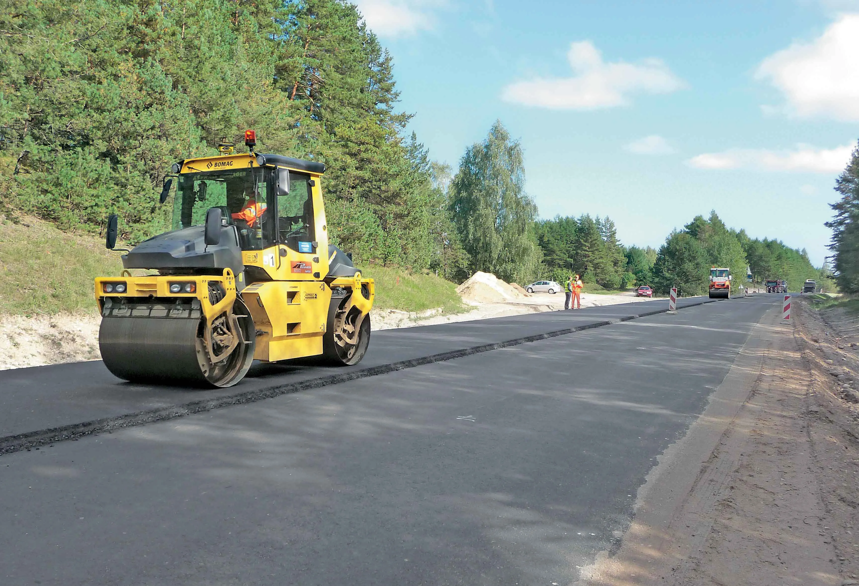
    BOMAG’s highly sophisticated compaction control technology is now being used successfully on the highway project to link Warsaw with St Petersburg. The system is being employed in the rural area around the border triangle of Lithuania, Latvia and Belarus. Lithuanian road contractor Panevezio Keliai won the package of works to upgrade a stretch of the E262 in Zarasai. The project requires high quality as the E262 route links Warsaw with St Petersburg and carries a large volume of traffic, including a hig
  • Topcon’s intelligent compaction tool
    September 11, 2014
    Topcon Positioning is introducing the C-63 GPS/GNSS indicator system designed specifically for use with compactors. The package can help deliver precise compaction and features the firm’s novel GNSS technology and graphical display, providing real-time positioning and plan data and ensuring optimum compaction is achieved where required. Compaction is important for soil or asphalt applications but monitoring surfaces is difficult with existing technologies. Over- or under-compaction of asphalt in particular
  • Control systems boost soil compaction efficiency
    December 20, 2013
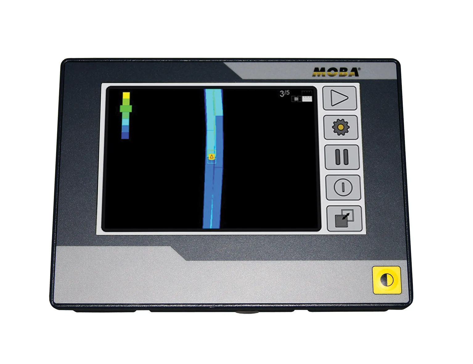
    German firm MOBA is now offering a tool that can help boost the efficiency of soil compaction operations. The company’s MOBA MCA-2000 roller system is designed to help the roller driver achieve optimum compaction in earthworks. This is important as the load-bearing capacity of the subgrade of a construction site can be crucial and material compaction is vital. Uniform compaction can prevent subsequent plastic deformations and ground settling. But whether an area has been compacted to the specification is d
  • Leica Geosystems introduces smart monitoring of structures
    October 1, 2014
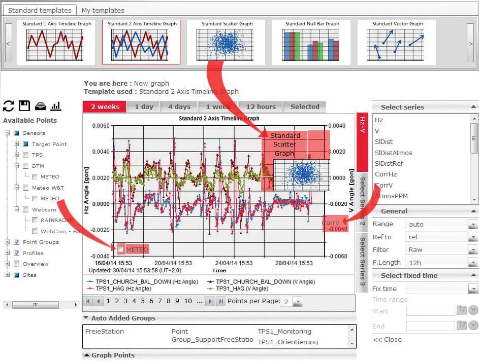
    Highly sophisticated, the Leica GeoMoS Now! From Leica Geosystems is a new web-based application enables on-the-go visualisation and analysis of structural and ground movement monitoring data. With this package, large quantities of geodetic and geotechnical data are said to be easier to handle with simplified workflows using automatic configuration and distribution tools. The package can quickly notify users of any changes in data for faster, more informed responses. Leica GeoMoS Now! allows users t