Leica Geosystems is now offering a sophisticated machine control tool for use with compaction equipment. The firm’s advanced iCON roller package is said to offer contractors an effective solution that can deliver constant and effective compaction on any site.
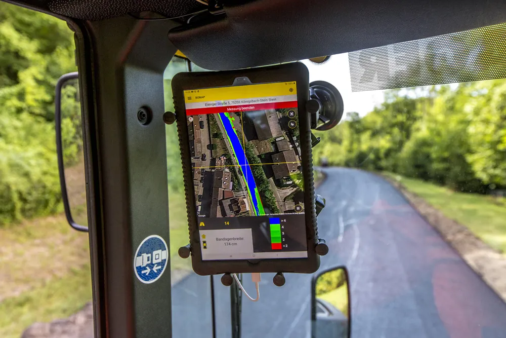
The new iCON roller has on-screen visualisation to show the user where completed passes have occurred and where more are needed for consistent results. Colour coding helps avoid costly reworking as pass count progress is constantly tracked. The unit
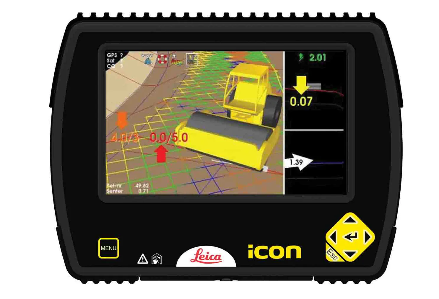
The new iCON roller has on-screen visualisation to show the user where completed passes have occurred and where more are needed for consistent results. Colour coding helps avoid costly reworking as pass count progress is constantly tracked. The unit is said to be simple to install and can be used on any soil and asphalt roller. It has a rugged panel that is fully protected for use on construction worksites, withstanding extreme temperatures and environmental conditions.
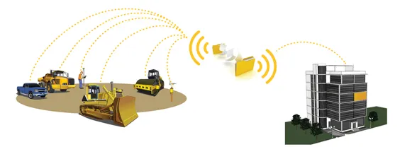
Using the firm’s high-accuracy GNSS solutions or total stations for work inside tunnels, precise positioning is achieved and continuously mapped. The job data is then stored in the panel’s on-board memory. iCON telematics transfers this data via the cloud to the office for consistent job monitoring, resulting in improved quality control of the overall project. The new iCON roller also includes a reporting tool to generate useful job reports that document all compaction work.