Leica Geosystems offers smart compaction tool

Leica Geosystems is now offering a sophisticated machine control tool for use with compaction equipment. The firm’s advanced iCON roller package is said to offer contractors an effective solution that can deliver constant and effective compaction on any site. The new iCON roller has on-screen visualisation to show the user where completed passes have occurred and where more are needed for consistent results. Colour coding helps avoid costly reworking as pass count progress is constantly tracked. The unit
January 12, 2017 Read time: 2 mins
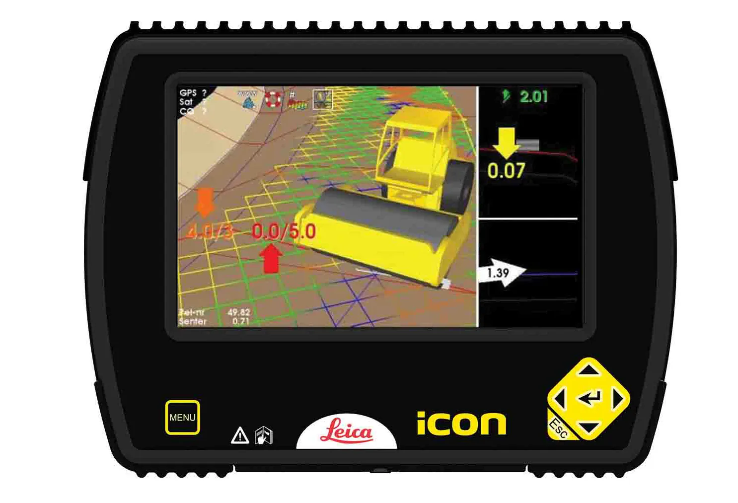
The new compaction tool from Leica Geosystems is said to boost accuracy
265 Leica Geosystems is now offering a sophisticated machine control tool for use with compaction equipment. The firm’s advanced iCON roller package is said to offer contractors an effective solution that can deliver constant and effective compaction on any site.

The new iCON roller has on-screen visualisation to show the user where completed passes have occurred and where more are needed for consistent results. Colour coding helps avoid costly reworking as pass count progress is constantly tracked. The unit is said to be simple to install and can be used on any soil and asphalt roller. It has a rugged panel that is fully protected for use on construction worksites, withstanding extreme temperatures and environmental conditions.

Using the firm’s high-accuracy GNSS solutions or total stations for work inside tunnels, precise positioning is achieved and continuously mapped. The job data is then stored in the panel’s on-board memory.  iCON telematics transfers this data via the cloud to the office for consistent job monitoring, resulting in improved quality control of the overall project. The new iCON roller also includes a reporting tool to generate useful job reports that document all compaction work.

For more information on companies in this article

Related Content

  • Leica Geosystems' smart GNSS antenna
    August 25, 2016
    Leica Geosystems is now offering a smart, versatile antenna for use in GNSS monitoring applications. The firm says that this high-quality device is customisable to fit a wide array of project requirements. The unit is sophisticated, while offering reliability and ease-of-use and combines both GNSS antenna and receiver. The new smart antenna can be used for monitoring installations in static, long-term projects. The unit can also enable dynamic monitoring with up to 10Hz data streaming and multi-freque
  • Sophisticated paving technology from BPO
    October 24, 2019
    Advanced technology is enabling asphalt road surfaces to be laid with greater efficiency
  • MOBA introduces sophisticated compaction tool
    August 17, 2015
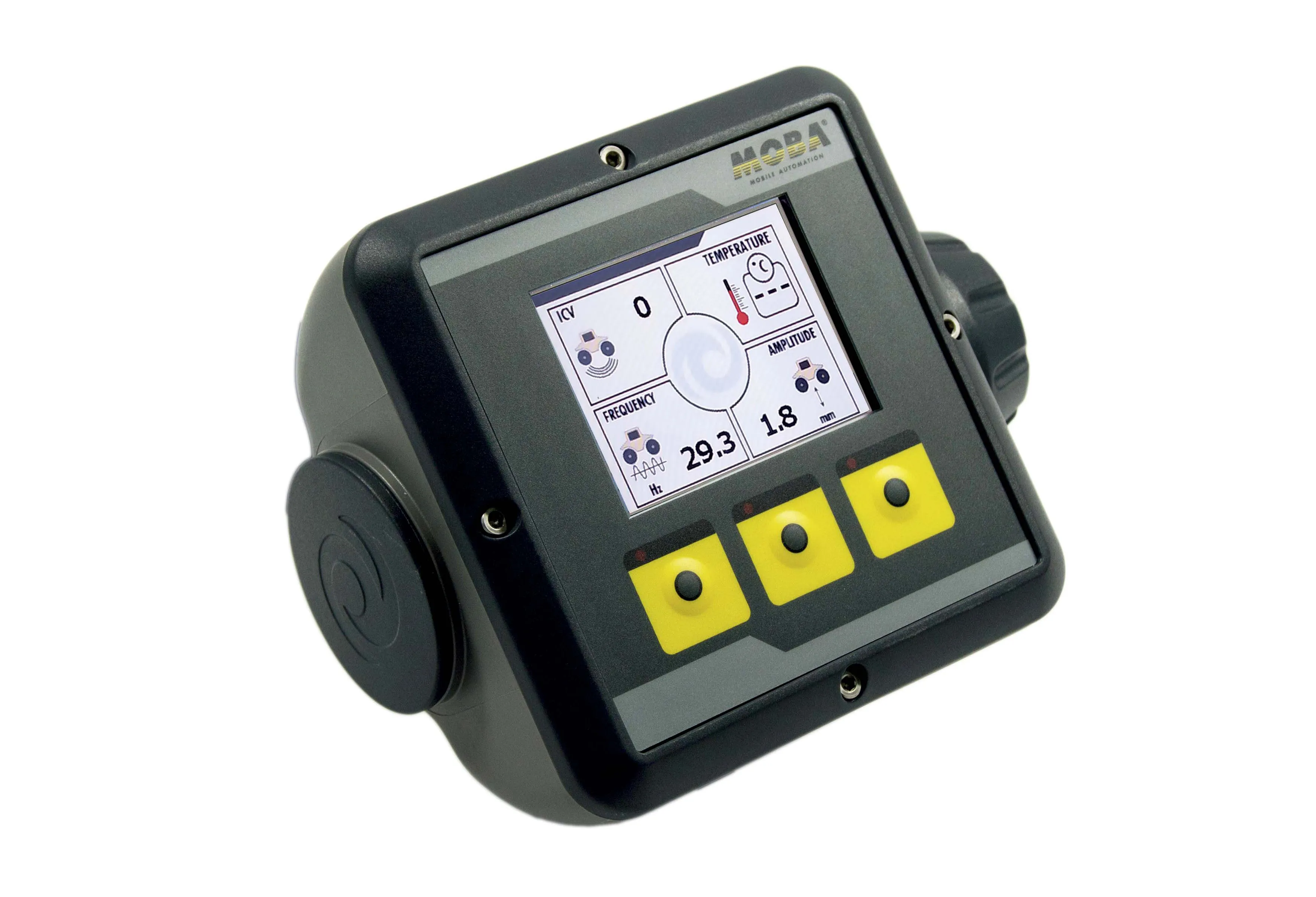
    MOBA is introducing a sophisticated compaction control package. The innovative MCA-500 machine control system is designed for use with compactors and can be used in both earthmoving and road construction applications. The system allows the compactor operator to monitor progress in real-time on the display. The driver can see key information during the compaction process, such as the intelligent compaction value (ICV), vibration frequency and amplitude. This ensures that over- and under-compaction can be
  • Positioning tools continue to improve
    July 16, 2012
    Topcon says that its new IP-S2 package combines GNNS positioning capabilities with inertial sensors, while the firm also has a solution for customers wanting to mix and match receiver components. The IP-S2 is a vehicle-mounted, mobile 3D tool that offers precision mapping and surveying capabilities. The package collects data using 3D laser scanners, LIDAR, and/or cameras, and this is then integrated, time-stamped and geo-referenced. The customer can use this assembled data to combine LIDAR point cloud and d