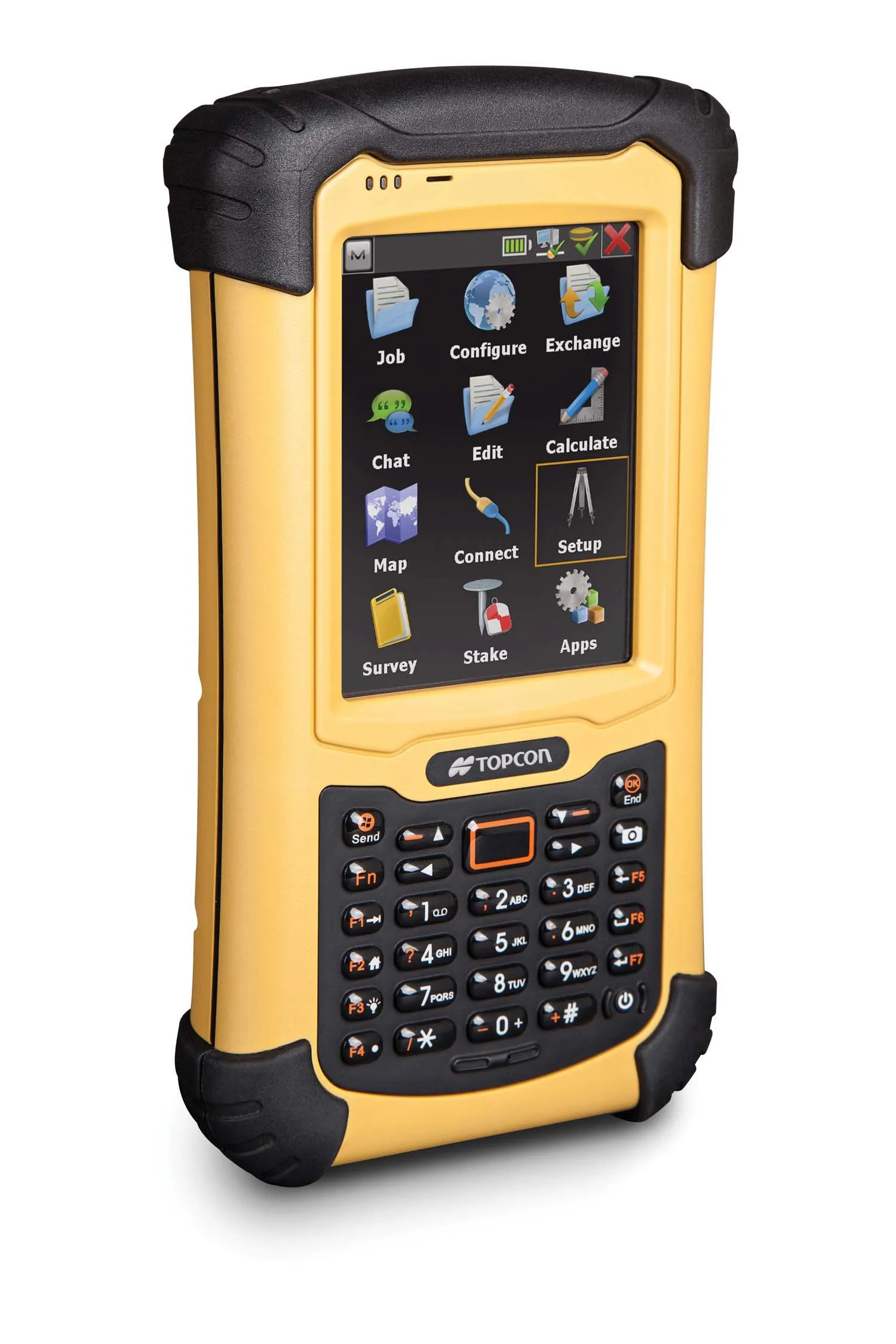
Wireless mapping, data logging and asset management

Topcon says that its advanced SiteLink technology provides a comprehensive information technology solution for equipment on construction sites. The SiteLink product is a wireless communications mapping, data logging, reporting and asset management package that can be used on off-highway equipment. According to Topcon the system can be used with any make, model or type of job site machine, regardless of manufacturer and age. The system can also pinpoint via GPS any make of equipment on a job site, serving as
February 24, 2012 Read time: 2 mins
342 Topcon says that its advanced SiteLink technology provides a comprehensive information technology solution for equipment on construction sites.

The SiteLink product is a wireless communications mapping, data logging, reporting and asset management package that can be used on off-highway equipment. According to Topcon the system can be used with any make, model or type of job site machine, regardless of manufacturer and age.

The system can also pinpoint via GPS any make of equipment on a job site, serving as a built-in theft protection tool.

SiteLink was developed jointly by Topcon and TSD Integrated Controls, a joint venture company of Topcon and 3157 Sauer Danfoss, and because of the communications technology integrated into the package, a user has real-time access to equipment based in remote locations at all times.

Achiel Sturm, TEP product marketing manager for construction products at Topcon Europe said: "The machines can talk to each other as well as to the computers in the office."

For more information on companies in this article

Related Content

  • Tag option
    February 20, 2012
    While the use of GPS is now commonplace in industry there are locations that do not get a reliable signal throughout the working day. The location, geographical layout and depth of a quarry can cause 'canyoning', where GPS signals are not dependable.Poor signals make GPS-based machine tracking technology unreliable but a Canadian firm has an RFID-based system it believes could be the answer for such sites. This cost effective QuarryTag system has been adapted from a product that has been widely used by the
  • Mobile mapping innovation
    June 1, 2022
    There are millions of kilometres of roads and features that need to be mapped in today’s world. We see a strong vision and application for the future, therefore Leica Geosystems, part of Hexagon, recently announced the introduction of the reality capture mobile mapping system Leica Pegasus TRK, introducing artificial intelligence, autonomous workflows and intuitive interfaces. This technology goes beyond the capabilities of what’s already been done, making it the perfect companion for today’s mobile mapping requirements.
  • Topcon unveils FC-336 date controller
    March 27, 2014
    Topcon has unveiled its new FC-336 data controller designed specifically for the construction industry. In addition to providing field crews with access to MAGNET Enterprise to send and receive data files, the new controller operates with Topcon MAGNET Field, Site and Layout software, as well as Topcon Pocket 3D. A compact and lightweight handheld controller, the FC-336 works with all Topcon GNSS receivers and total stations.
  • Integrated corridor management offers transportation efficiency
    May 28, 2013
    In the Intelligent Transportation Systems world, the concept of managing roadway or transportation corridors is not new. Smart Corridor concepts have existed for some time, such as the Santa Monica Smart Corridor system from the 1990s. Across the world, a new emerging model for operating roadway transportation networks called integrated corridor management (ICM) has emerged. This is particularly true in California, where several new ICM projects have or are being deployed. There is a new paradigm for corrid