Wireless mapping, data logging and asset management

Topcon says that its advanced SiteLink technology provides a comprehensive information technology solution for equipment on construction sites. The SiteLink product is a wireless communications mapping, data logging, reporting and asset management package that can be used on off-highway equipment. According to Topcon the system can be used with any make, model or type of job site machine, regardless of manufacturer and age. The system can also pinpoint via GPS any make of equipment on a job site, serving as
February 24, 2012 Read time: 2 mins
342 Topcon says that its advanced SiteLink technology provides a comprehensive information technology solution for equipment on construction sites.

The SiteLink product is a wireless communications mapping, data logging, reporting and asset management package that can be used on off-highway equipment. According to Topcon the system can be used with any make, model or type of job site machine, regardless of manufacturer and age.

The system can also pinpoint via GPS any make of equipment on a job site, serving as a built-in theft protection tool.

SiteLink was developed jointly by Topcon and TSD Integrated Controls, a joint venture company of Topcon and 3157 Sauer Danfoss, and because of the communications technology integrated into the package, a user has real-time access to equipment based in remote locations at all times.

Achiel Sturm, TEP product marketing manager for construction products at Topcon Europe said: "The machines can talk to each other as well as to the computers in the office."

For more information on companies in this article

Related Content

  • Information technology and transport development
    February 16, 2012
    A team of eminent Russian specialists* introduce exciting new information technologies, such as the Internet of Things, and foresee their promising applications in the field of transport infrastructure development
  • Topcon’s intelligent compaction tool
    September 11, 2014
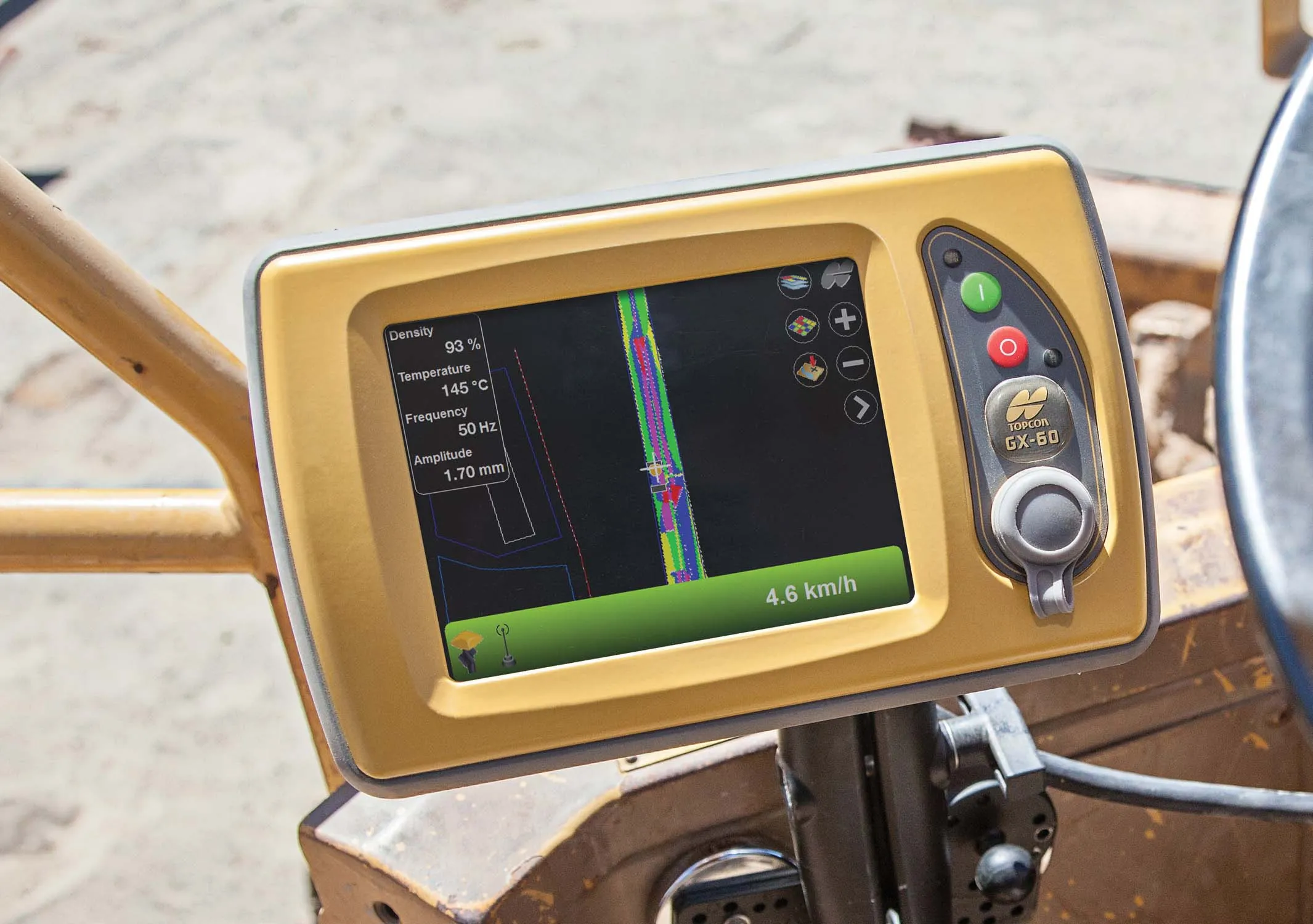
    Topcon Positioning is introducing the C-63 GPS/GNSS indicator system designed specifically for use with compactors. The package can help deliver precise compaction and features the firm’s novel GNSS technology and graphical display, providing real-time positioning and plan data and ensuring optimum compaction is achieved where required. Compaction is important for soil or asphalt applications but monitoring surfaces is difficult with existing technologies. Over- or under-compaction of asphalt in particular
  • Leica Geosystems offers smart compaction tool
    January 12, 2017
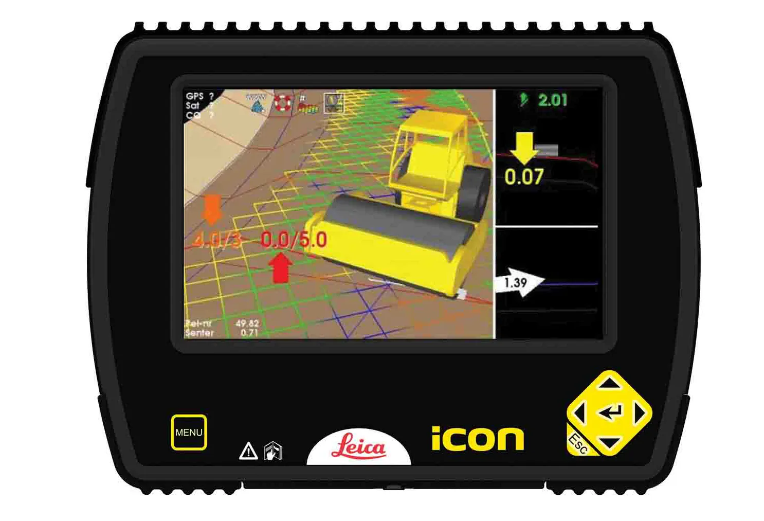
    Leica Geosystems is now offering a sophisticated machine control tool for use with compaction equipment. The firm’s advanced iCON roller package is said to offer contractors an effective solution that can deliver constant and effective compaction on any site. The new iCON roller has on-screen visualisation to show the user where completed passes have occurred and where more are needed for consistent results. Colour coding helps avoid costly reworking as pass count progress is constantly tracked. The unit
  • Supergeo offers GIS training tool
    April 27, 2015
    Supergeo Technologies says that its latest packages offer effective training for both GIS users and non-GIS professionals, as well as new tools for sharing geospatial data. The training offering comes in the shape of free online courses with extensive learning materials. The firm says that it is a leader in the field with its state-of-the-art GIS technology and is able to assist personnel from various industries to address different tasks with spatial information. A comprehensive series of online course