Wireless mapping, data logging and asset management

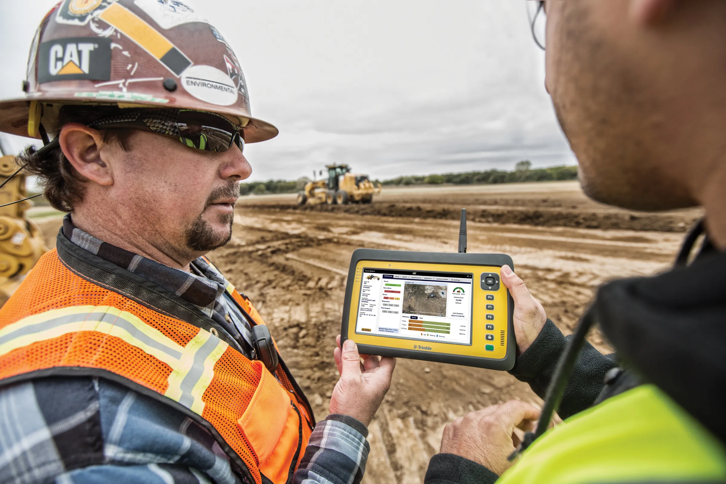
Topcon says that its advanced SiteLink technology provides a comprehensive information technology solution for equipment on construction sites. The SiteLink product is a wireless communications mapping, data logging, reporting and asset management package that can be used on off-highway equipment. According to Topcon the system can be used with any make, model or type of job site machine, regardless of manufacturer and age. The system can also pinpoint via GPS any make of equipment on a job site, serving as
February 24, 2012 Read time: 2 mins
342 Topcon says that its advanced SiteLink technology provides a comprehensive information technology solution for equipment on construction sites.

The SiteLink product is a wireless communications mapping, data logging, reporting and asset management package that can be used on off-highway equipment. According to Topcon the system can be used with any make, model or type of job site machine, regardless of manufacturer and age.

The system can also pinpoint via GPS any make of equipment on a job site, serving as a built-in theft protection tool.

SiteLink was developed jointly by Topcon and TSD Integrated Controls, a joint venture company of Topcon and 3157 Sauer Danfoss, and because of the communications technology integrated into the package, a user has real-time access to equipment based in remote locations at all times.

Achiel Sturm, TEP product marketing manager for construction products at Topcon Europe said: "The machines can talk to each other as well as to the computers in the office."

For more information on companies in this article

Related Content

  • Mapping effectively with vehicle-based imaging
    July 23, 2012
    Yotta is offering an innovative vehicle-based imaging service that will provide accurate high-resolution panoramic street-level views of highway features. The vehicle is equipped with a 60 megapixel panoramic camera developed by Yotta and uses Applanix satellite positioning technology to log the exact location of each image. The vehicle cam improves street-level mapping operations with accurate 3D images of buildings and other highway features, such as signs, trees, barriers and fences. Called Y360, the veh
  • Leica Geosystems develops machine control
    November 29, 2012
    An array of sophisticated machine control and surveying tools are coming to market from Leica Geosystems. One of the key developments is an addition to its iCON range in the form of its iCONtrol package. The firm says that this offers contractors a portfolio of powerful machine control solutions that can communicate with iCONstruct sensors on site and the iCON office software. This customisable and versatile solution suits use in grading and excavating segment and can be used as a control system for constru
  • Caterpillar goes big today on future technologies
    March 6, 2017
    Caterpillar has stressed how the use of innovative data analysis hardware and software can boost construction, mining and quarrying jobsite productivity by up to 40%. The US equipment giant says it is leading the industry by introducing the best products and technology, while also delivering a full portfolio of solutions.
  • Liebherr’s dozer factory in Austria
    May 4, 2022
    Liebherr is seeing strong demand for earthmoving machines, with healthy output at its earthmoving equipment factories