Visualisation technology from Bentley Systems

Bentley Systems has introduced its SYNCHRO XR, its app for immersively visualising 4D construction digital twins with the new Microsoft HoloLens 2. The SYNCHRO XR for HoloLens 2 system allows users to interact collaboratively with digital construction models using intuitive gestures to plan, visualise, and experience construction sequencing. Project digital twin data is visualised with the HoloLens 2 through Bentley’s connected data environment, powered by Microsoft Azure. With the mixed reality solutio
May 15, 2019 Read time: 2 mins
The new visualisation tool from Bentley Systems can boost understanding of a project using virtual reality
Bentley Systems has introduced its SYNCHRO XR, its app for immersively visualising 4D construction digital twins with the new Microsoft HoloLens 2.


The SYNCHRO XR for HoloLens 2 system allows users to interact collaboratively with digital construction models using intuitive gestures to plan, visualise, and experience construction sequencing.

Project digital twin data is visualised with the HoloLens 2 through Bentley’s connected data environment, powered by Microsoft Azure. With the mixed reality solution, construction managers, project schedulers, owner operators, and other project stakeholders can gain insights through immersive visualisation into planned work, construction progress, potential site risks, and safety requirements.

Additionally, users can interact with the model together and collaboratively experience 4D objects in space and time, as opposed to traditional interaction with a 2D screen depicting 3D objects.

Noah Eckhouse, senior vice president, project delivery for 4019 Bentley Systems, said, “Our SYNCHRO XR app for HoloLens 2 provides a new way to interact with digital twins for infrastructure projects. Users benefit from a new perspective on the design and a deeper, more immediate understanding of the work and project schedule. Instead of using a 2D screen with a mouse and keyboard, the user can now walk around the model with their body and reach out and grab digital objects that appear to co-occupy physical reality.”

Related Content

  • Widening works: road user’s nightmare or operator’s challenge?
    March 14, 2017
    Early - and continuous planning - is essential for successful road widening projects. By Nina Sacagiu, project manager, and Laurent Charles-Nicolas, project director, at Egis. Keeping goods and people moving safely is the primary objective of any transport authority across the world. Delivering this objective on motorways and making the most out of network capacity requires all the resources, skills and ingenuity of those in charge of managing the infrastructure. When the network can no longer cope wit
  • App upgrades and power choices
    November 13, 2024
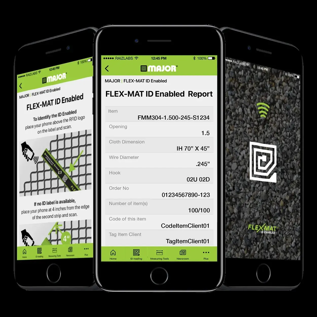
    The use of apps for more productive screening operations and the dual use of diesel and electric power have helped boost quarry efficiencies, according to Kleeman, Major and Screenscore.
  • Sophisticated machine control solution from Topcon
    June 1, 2022
    Topcon Positioning says that its new MC-Max machine control solution is a scalable solution for use with mixed-fleets of heavy equipment.
  • Rapid adoption of GPS machine control
    April 5, 2012
    The high sophistication of GPS machine control systems has resulted in a fast pace of technological advancement. The three major players in the machine control sector, Leica Geosystems, Topcon and Trimble have all made major gains in recent years. The sophistication of the latest systems can combine satellite position data from the GPS and GLONASS networks with information from total stations to provide precise, high speed machine operation. Further more the firms have also prepared themselves for the intro