
Versatile machine control package from Leica Geosystems

By Mike Woof April 25, 2024 Read time: 2 mins
Leica Geosystems is broadening its range of 3D solutions with its new iCON gps 120 antenna

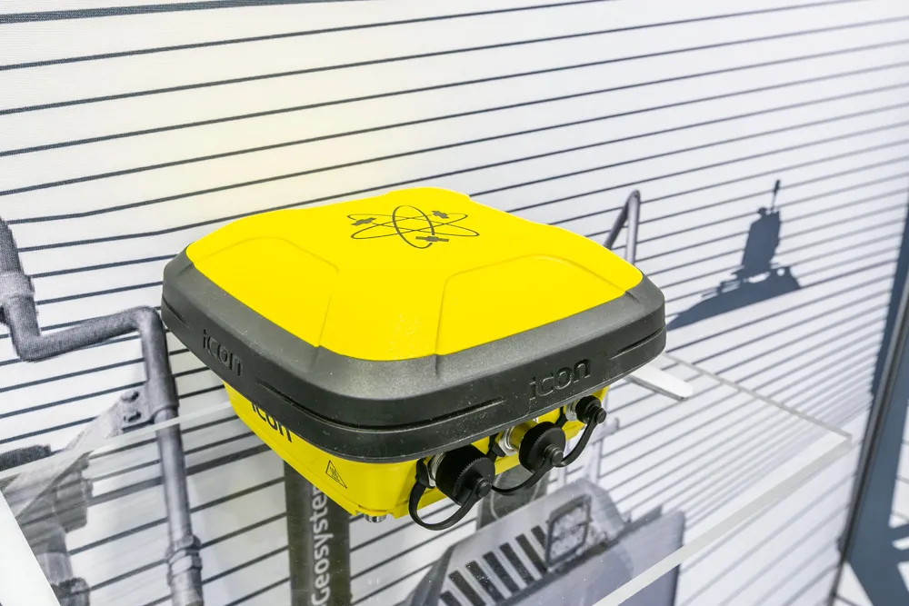
Leica Geosystems is widening its array of 3D machine control solutions with the introduction of its Leica iCON gps 120. This smart antenna offers customers a versatile machine control solution.

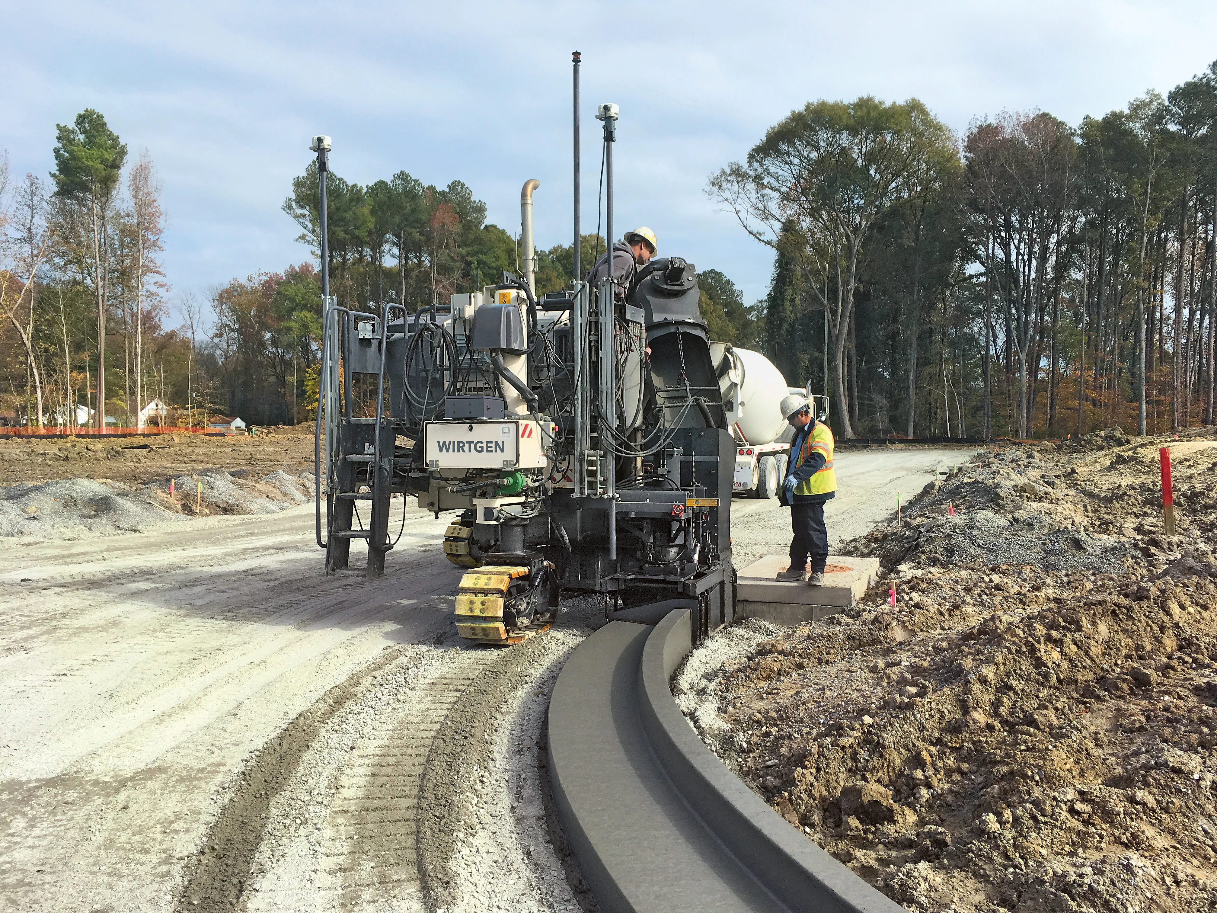
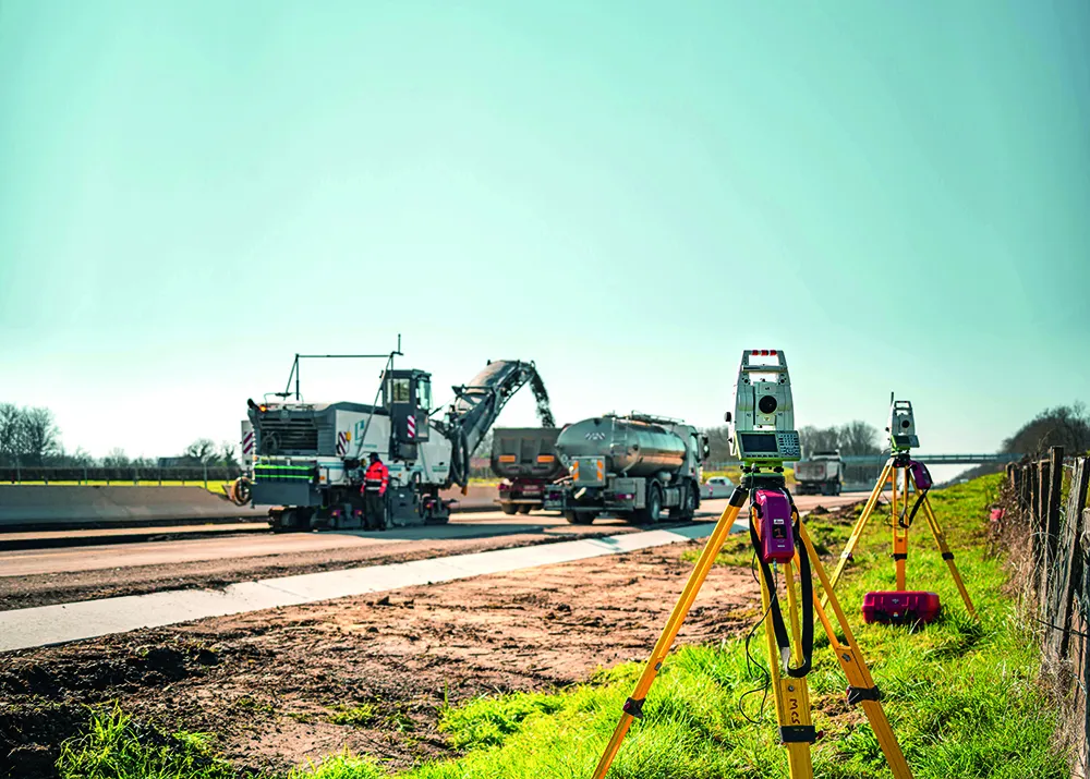
The nw Leica iCON 120 Machine Smart Antenna is integrated into the existing Leica MC1 solution platform and extends the machine control solution to more applications and machine types. Construction machines such as compaction rollers, which usually require only lower levels of accuracy without heading, can now be equipped with a tailor-made Leica MC1 machine control solution. This allows streamlined operations and consistent workflows between heavy construction equipment that vary in application requirements. Using the Leica MC1 machine control solution allows operators to carry out jobs more quickly and accurately, boosting fleet efficiency and reducing waste.

Construction customers can start with a single GNSS solution using a satellite-based augmentation system (SBAS) or HxGN SmartNet PPP service. If they need higher specifications, they can upgrade to an RTK solution with low or high accuracy by adding the communication unit Leica CR50. With a second iCON gps 120 Machine Smart Antenna, customers get a full high-accuracy dual GNSS solution with heading. A key feature of the design is that the antennas can be switched easily between Leica MC1 prepared machines due to the simple quick disconnect system.

“This solution is more versatile than our previous solution. You can take it from one machine to another and it’s perfect for rental machines. It’s an addition to our range, not a replacement for an existing unit,” according to Tommi Kauppinen, vice president, Heavy Construction, Machine Control Field Solutions at Leica Geosystems.
 

For more information on companies in this article

Related Content

  • Accurate deformation monitoring from Leica Geosystems
    March 7, 2017
    Leica Geosystems is now offering a sophisticated tool that allows engineers to measure deformation accurately. The Leica GeoMoS Now! Survey Edition is a service for monitoring and managing 3D deformation of points of potentially unstable areas for surveying projects. It has a streamlined workflow and can deliver monitoring reports of man-made structures or natural dangers to smart devices. Surveyors can use this to upload coordinates, process and visualise deformations, allowing other users to access result
  • Sophisticated slipformer control from Wirtgen
    August 10, 2018
    Wirtgen is now offering a new version of its concrete slipformer control package. This new tool offers additional capabilities and improved performance over the earlier version. The company claims that its upgraded Wirtgen AutoPilot 2.0 package can deliver a higher paving accuracy along with lower costs. Newly-developed, this package is said to produce a wide array of offset and inset profiles, while also delivering these more economically and precisely than with the previous version. The 3D system can eit
  • French fine milling achieved
    January 10, 2025
    Contractor 2AGE-MCS achieved precision and speed in milling the Route Centre-Europe Atlantique in France with the use of 3D technology
  • Connectivity is key for contractors
    November 8, 2022
    Michigan Department of Transportation (MDOT) has planned its US$210 million I-69 Rebuild Project in Eaton and Calhoun Counties, work that will improve journeys for drivers in the area