Trimble’s new SitePulse System empowers field managers

Trimble has launched what it claims is an affordable and easy-to-use site positioning System for superintendents, foremen and field engineers on heavy civil construction sites. Instead of using paper plans, the Trimble SitePulse System empowers field managers with the same 3D constructible model and digital information that is used by construction surveyors, grade checkers and machine operators. Trimble SitePulse field software is ideal for construction managers who do not have a surveying background. The
June 9, 2015 Read time: 2 mins
2122 Trimble has launched what it claims is an affordable and easy-to-use site positioning System for superintendents, foremen and field engineers on heavy civil construction sites.

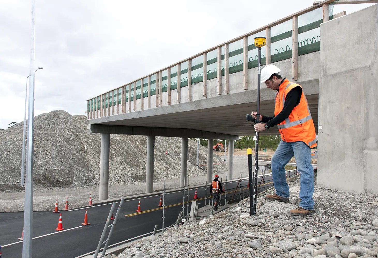
Instead of using paper plans, the Trimble SitePulse System empowers field managers with the same 3D constructible model and digital information that is used by construction surveyors, grade checkers and machine operators.

Trimble SitePulse field software is ideal for construction managers who do not have a surveying background. The software runs on either the Trimble Site Tablet or any third-party Android tablet, giving contractors the flexibility to choose the hardware platform that best fits their needs and budget.

The new Trimble SPS585 GNSS Smart Antenna is a versatile receiver can be moved quickly from a truck to a range pole using a built-in magnetic mount. The SPS585 can access multi-constellation GNSS satellites and provides typical positioning accuracy of 10cm using Trimble RTX–based services, which stream GNSS corrections via satellite to the receiver without the need for a traditional base station.

The Trimble SitePulse System leverages Trimble Connected Site technology, including VRS networks, Internet Base Station Service (IBSS) and wireless data sync to provide efficient system configuration and streamlined workflows.

For more information on companies in this article

Related Content

  • Trimble develops smart surveying possibilities
    February 2, 2015
    The new offering from Trimble Positioning Services will help deliver greater accuracy in construction, according to the firm. This technology offers high accuracy GNSS data as Trimble provides correction services, allowing users to obtain accurate positioning for construction projects, including site surveys, machine control, site stakeout, site layout, and fine grading.
  • Trimble develops smart surveying possibilities
    January 6, 2017
    The new offering from Trimble Positioning Services will help deliver greater accuracy in construction, according to the firm. This technology offers high accuracy GNSS data as Trimble provides correction services, allowing users to obtain accurate positioning for construction projects, including site surveys, machine control, site stakeout, site layout, and fine grading.
  • Trimble’s new georeferencing package
    March 13, 2017
    Trimble company Applanix is now offering the POSPac MMS 8 package, an advanced GNSSaided inertial post-processing software for georeferencing data. This information can be collected from cameras, LIDARs, multibeam sonars and other sensors on mobile platforms. Using the Trimble CenterPoint RTX subscription service with the RTX technology, POSPac MMS 8 is said to offer new capabilities for mobile mapping from land, air, marine and UAV platforms. It can offer centimetre-level accuracy within one hour aft
  • Connectivity is key for contractors
    November 8, 2022
    Michigan Department of Transportation (MDOT) has planned its US$210 million I-69 Rebuild Project in Eaton and Calhoun Counties, work that will improve journeys for drivers in the area