Trimble’s new SitePulse System empowers field managers

Trimble has launched what it claims is an affordable and easy-to-use site positioning System for superintendents, foremen and field engineers on heavy civil construction sites. Instead of using paper plans, the Trimble SitePulse System empowers field managers with the same 3D constructible model and digital information that is used by construction surveyors, grade checkers and machine operators. Trimble SitePulse field software is ideal for construction managers who do not have a surveying background. The
June 9, 2015 Read time: 2 mins
2122 Trimble has launched what it claims is an affordable and easy-to-use site positioning System for superintendents, foremen and field engineers on heavy civil construction sites.

Instead of using paper plans, the Trimble SitePulse System empowers field managers with the same 3D constructible model and digital information that is used by construction surveyors, grade checkers and machine operators.

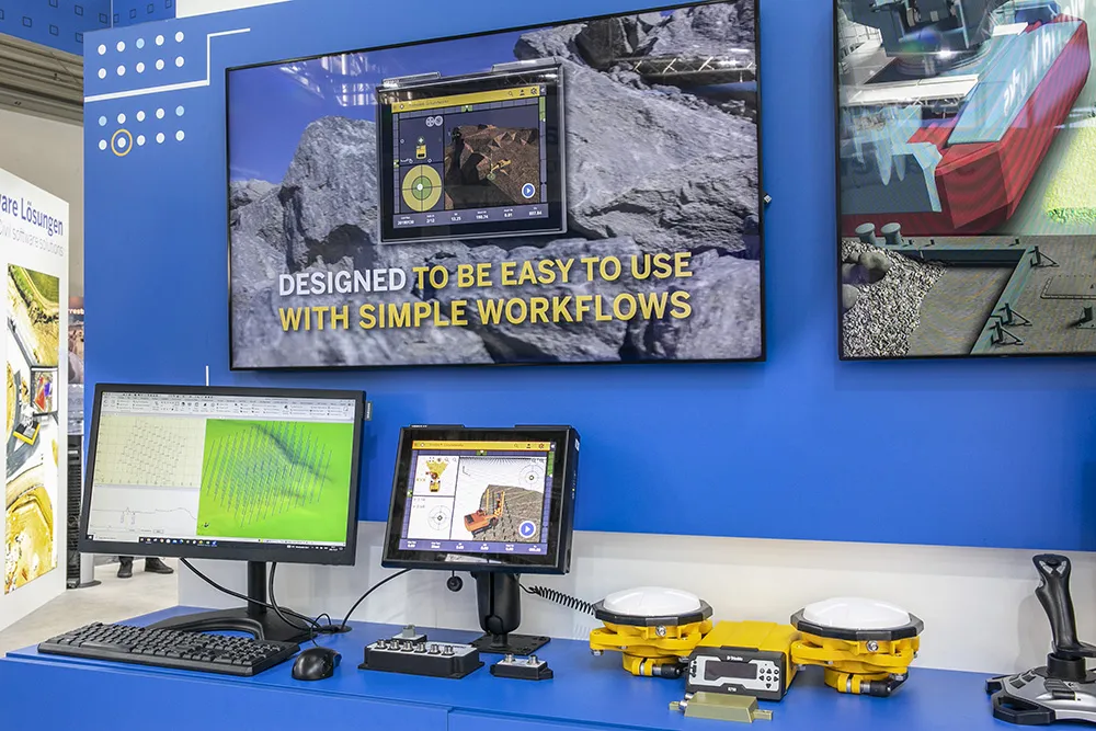
Trimble SitePulse field software is ideal for construction managers who do not have a surveying background. The software runs on either the Trimble Site Tablet or any third-party Android tablet, giving contractors the flexibility to choose the hardware platform that best fits their needs and budget.

The new Trimble SPS585 GNSS Smart Antenna is a versatile receiver can be moved quickly from a truck to a range pole using a built-in magnetic mount. The SPS585 can access multi-constellation GNSS satellites and provides typical positioning accuracy of 10cm using Trimble RTX–based services, which stream GNSS corrections via satellite to the receiver without the need for a traditional base station.

The Trimble SitePulse System leverages Trimble Connected Site technology, including VRS networks, Internet Base Station Service (IBSS) and wireless data sync to provide efficient system configuration and streamlined workflows.

For more information on companies in this article

Related Content

  • Versatile machine control package from Leica Geosystems
    April 25, 2024

    Leica Geosystems is widening its array of 3D machine control solutions with the introduction of its Leica iCON gps 120. This smart antenna offers customers a versatile machine control solution.

  • Innovation in road design and management software
    February 17, 2012
    The emphasis on data processing and re-use, continues to grow in the development of design and management software. The interoperability of software, the need to handle and process larger amounts of data, and re-use and retention of data sets from one task to another have been a growing emphasis in the past few years. It allows infrastructure companies to get better value from expensively collected information and to focus more on the whole life cycle of projects.
  • Accurate positioning with Leica Geosystems
    June 19, 2017
    The new Zeno GG04 smart antenna from Leica Geosystems is said to increase access to GIS and boost tracking performance. This is said to deliver a versatile solution that can improve the accuracy of GNSS mobile devices with real-time Kinematic (RTK) and precise point positioning (PPP). Paired with the Zeno GG04, any Zeno or third party mobile device with Android or Windows OS can now collect precise positioning data with Leica Geosystems’ GNSS technology and 555-channel tracking performance. With PPP, users
  • Piling rig control system from Trimble
    December 29, 2022
    Trimble is offering machine control options for piling and drilling machines from ABI Maschinenfabrik und Vertriebsgesellschaft as well as Junttan.