Topcon Positioning Group’s new surveying suite features four integrated solutions, comprising three hardware products and a single software system. The firm says that this package provides users with a powerful survey system. The Topcon Elite Survey Suite includes the new GT series of robotic total stations, HiPer HR hybrid GNSS receiver, FC-5000 field computer and MAGNET 4.0 software system. According to Topcon, users can benefit from advanced geo-positioning products and technology in one system.

RSS342 Topcon Positioning Group’s new surveying suite features four integrated solutions, comprising three hardware products and a single software system. The firm says that this package provides users with a powerful survey system. The Topcon Elite Survey Suite includes the new GT series of robotic total stations, HiPer HR hybrid GNSS receiver, FC-5000 field computer and MAGNET 4.0 software system. According to Topcon, users can benefit from advanced geo-positioning products and technology in one system.
The Elite Survey Suite products were designed to work together through one software solution. The Topcon Ultrasonic Direct Drive motors available within the new GT series total station have a rotational speed of up to 180°/second. The advanced UltraTrac Technology engine is said to offer greater power for prism tracking. The total station is 30% smaller 30% lighter but provides high levels of accuracy and performance, according to the firm.
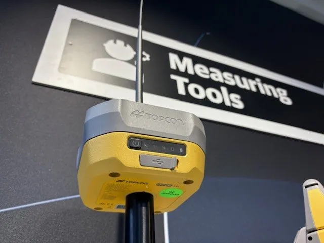
The new HiPer HR is said to be the world’s smallest and lightest GNSS receiver and can track all constellations, all satellites, and all signals. It benefits from new GNSS technology augmentation integrated in the HiPer HR with Topcon Integrated levelling technology (TILT) functionality.
It has an FC-5000 field computer with two built-in cameras and a sunlight-readable display, with processing power and wireless connectivity options. The MAGNET 4.0 software provides support for the hardware through MAGNET Field, MAGNET Office and updated MAGNET Enterprise web service. This allowsintegration with Topcon’s construction-focused Sitelink3D service for instant data transfer and connectivity into active project sites.
The Elite Survey Suite products were designed to work together through one software solution. The Topcon Ultrasonic Direct Drive motors available within the new GT series total station have a rotational speed of up to 180°/second. The advanced UltraTrac Technology engine is said to offer greater power for prism tracking. The total station is 30% smaller 30% lighter but provides high levels of accuracy and performance, according to the firm.
The new HiPer HR is said to be the world’s smallest and lightest GNSS receiver and can track all constellations, all satellites, and all signals. It benefits from new GNSS technology augmentation integrated in the HiPer HR with Topcon Integrated levelling technology (TILT) functionality.
It has an FC-5000 field computer with two built-in cameras and a sunlight-readable display, with processing power and wireless connectivity options. The MAGNET 4.0 software provides support for the hardware through MAGNET Field, MAGNET Office and updated MAGNET Enterprise web service. This allowsintegration with Topcon’s construction-focused Sitelink3D service for instant data transfer and connectivity into active project sites.