Topcon’s advanced software for construction

Topcon Positioning is introducing the latest version of its MAGNET 5 software. This new version includes upgrades to the MAGNET Field, Office and Enterprise applications designed for advanced performance, third-party integration, and construction planning and oversight capability. The package offers new flexible display options and additional customisable data labels. Additionally, operators can view GNSS status when the controller is connected to a total station in Hybrid mode, and show offsets as a visua
December 12, 2018 Read time: 2 mins
The new MAGNET package from Topcon Positioning offers additional capabilities for use with machine control technologies

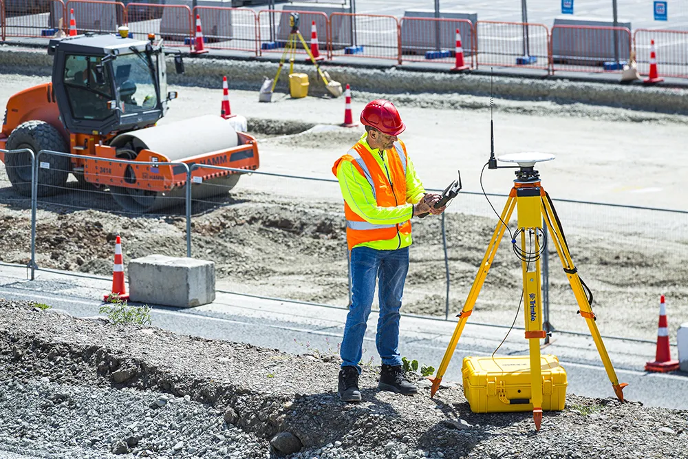
342 Topcon Positioning is introducing the latest version of its MAGNET 5 software. This new version includes upgrades to the MAGNET Field, Office and Enterprise applications designed for advanced performance, third-party integration, and construction planning and oversight capability.

The package offers new flexible display options and additional customisable data labels. Additionally, operators can view GNSS status when the controller is connected to a total station in Hybrid mode, and show offsets as a visual reference when staking roads and lines. Improvements to MAGNET Field also contain new vertical construction capabilities including reflectorless layout.

The MAGNET system also supports third-party construction and survey file types. It includes filtering and editing capabilities to bring Autodesk and Bentley design files to the office or directly to field software. MAGNET Enterprise updates feature new cloud connection to Autodesk BIM 360 and Bentley ProjectWise as well as unlimited project file storage.

Additions to MAGNET Office are designed to be centred on contractor needs and include new advanced corridor functionalities for machine control file preparation, Mass Haul application improvements, and an integration of BIM for infrastructure features directly into the suite. 

For more information on companies in this article

Related Content

  • Sophisticated base station receiver
    March 1, 2022
    Trimble has introduced the R750 GNSS Modular Receiver, a connected base station for use in civil construction and geospatial applications. The R750 is said to provide improved base station performance, giving contractors and surveyors more reliable and precise positioning in the field.
  • Leica’s growing support network
    April 23, 2013
    Leica Geosystems has launched Leica Zeno Office v3.1 and Leica MobileMatriX v5.1 software updates for the Zeno GIS series. Leica Zeno Office v3.1 and MobileMatriX v5.1 now support the new Leica CS25 GNSS, an innovative tablet computer and high accuracy data collector; Esri ArcGIS 10.0/10.1; and post-processing accuracy improvements. Johannes Hotz, senior product manager, says: “Both Zeno Office, in combination with Leica Zeno Field, and MobileMatriX further support the measurement of positions and associate
  • BOMAG’s new asphalt paver range
    June 23, 2021
    BOMAG is launching its new range of asphalt pavers, which benefit from the latest technology. The new generation of universal and highway class pavers from BOMAG are equipped with the company’s Advanced Pave system, a digital co-pilot for pavers
  • Powerful machine control technology
    February 14, 2012
    THE TRIMBLE TSC3 handheld controller for construction is said to offer powerful and rugged control capabilities. This hand-held unit is aimed at duties with heavy and highway contractors and features builtin GPS, 3G, Wi-Fi and a 5 megapixel digital camera. The unit is said to allow site workers to stay connected and also provides accurate positioning and digital design information. Using this unit allows engineers to locate, measure and record information anywhere on the construction site with a single devi