Topcon’s advanced software for construction

Topcon Positioning is introducing the latest version of its MAGNET 5 software. This new version includes upgrades to the MAGNET Field, Office and Enterprise applications designed for advanced performance, third-party integration, and construction planning and oversight capability. The package offers new flexible display options and additional customisable data labels. Additionally, operators can view GNSS status when the controller is connected to a total station in Hybrid mode, and show offsets as a visua
December 12, 2018 Read time: 2 mins
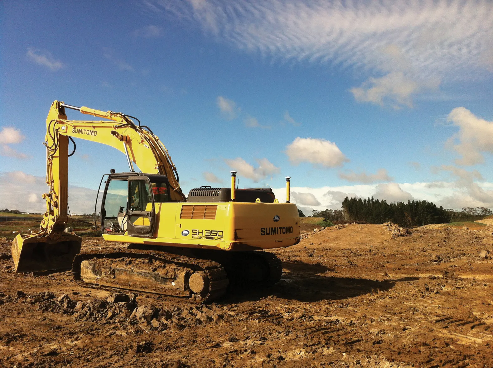
The new MAGNET package from Topcon Positioning offers additional capabilities for use with machine control technologies

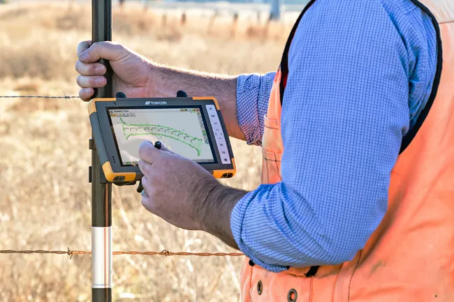
342 Topcon Positioning is introducing the latest version of its MAGNET 5 software. This new version includes upgrades to the MAGNET Field, Office and Enterprise applications designed for advanced performance, third-party integration, and construction planning and oversight capability.

The package offers new flexible display options and additional customisable data labels. Additionally, operators can view GNSS status when the controller is connected to a total station in Hybrid mode, and show offsets as a visual reference when staking roads and lines. Improvements to MAGNET Field also contain new vertical construction capabilities including reflectorless layout.

The MAGNET system also supports third-party construction and survey file types. It includes filtering and editing capabilities to bring Autodesk and Bentley design files to the office or directly to field software. MAGNET Enterprise updates feature new cloud connection to Autodesk BIM 360 and Bentley ProjectWise as well as unlimited project file storage.

Additions to MAGNET Office are designed to be centred on contractor needs and include new advanced corridor functionalities for machine control file preparation, Mass Haul application improvements, and an integration of BIM for infrastructure features directly into the suite. 

For more information on companies in this article

Related Content

  • Digital solutions for accurate road construction
    November 19, 2021
    Construction firms are now delivering roads that are more durable and feature better surface quality due to the use of digital measurement solutions. These technologies help to transfer target values into precise actual values on the ground
  • Wireless remote control a key feature of new concrete pavers
    March 20, 2012
    Slipform paver manufacturers are currently seeing strong business gains, Mike Woof reports The concrete slipforming sector is seeing strong business gains at present, with high demand for machines right around the globe. In Europe and the US, barrier machines are in particular demand, while in Russia airport paving is top of the agenda. All over the world, airports have to be rebuilt to cope with new large aircraft, and machines are busy operating in Asia, Europe and both North and South America on this
  • High performance from Topcon’s HiPer XR
    April 11, 2025

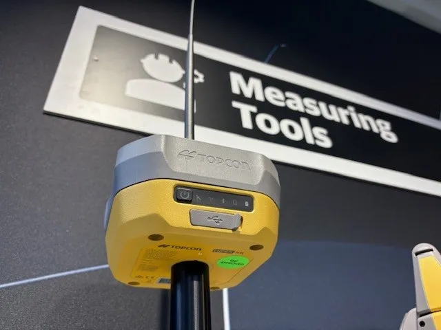
    The HiPer XR, from Topcon Positioning Systems, is a robust high-precision GNSS receiver for surveying, construction and geospatial work. It delivers precision and efficiency, tackling all challenges with RTK accuracy and Dynamic TILT Compensation technology for effortless measurements, even in difficult conditions.

    Its anti-jamming capabilities ensure reliable performance, while the lightweight, rugged design withstands harsh environments. The HiPer XR is about versatile connectivity with long battery life at an affordable price.

  • MOBA's advanced positioning systems
    November 15, 2012
    MOBA Mobile Automation says it now offers excavator control systems for a range of requirements, with the introduction of its Easy Dig basic system, the LINK expansion stage and the high-end Vision 3D version. The new Easy Dig package is said to provide an affordable and easy-to-install excavator control system that measures depth, incline angle and range. Target and actual values are compared and displayed in real-time on the screen. The LINK offers a combination of 2D and 3D functions and is the most in