Topcon’s advanced software for construction

Topcon Positioning is introducing the latest version of its MAGNET 5 software. This new version includes upgrades to the MAGNET Field, Office and Enterprise applications designed for advanced performance, third-party integration, and construction planning and oversight capability. The package offers new flexible display options and additional customisable data labels. Additionally, operators can view GNSS status when the controller is connected to a total station in Hybrid mode, and show offsets as a visua
December 12, 2018 Read time: 2 mins
The new MAGNET package from Topcon Positioning offers additional capabilities for use with machine control technologies

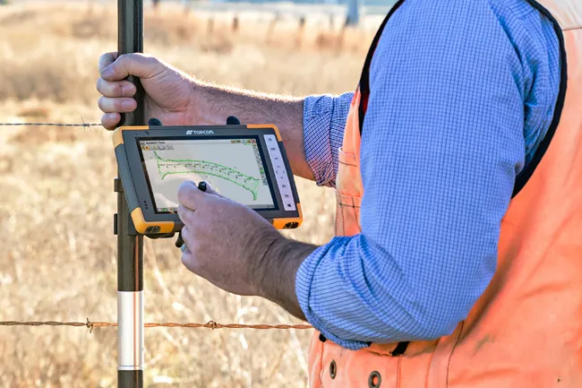
342 Topcon Positioning is introducing the latest version of its MAGNET 5 software. This new version includes upgrades to the MAGNET Field, Office and Enterprise applications designed for advanced performance, third-party integration, and construction planning and oversight capability.

The package offers new flexible display options and additional customisable data labels. Additionally, operators can view GNSS status when the controller is connected to a total station in Hybrid mode, and show offsets as a visual reference when staking roads and lines. Improvements to MAGNET Field also contain new vertical construction capabilities including reflectorless layout.

The MAGNET system also supports third-party construction and survey file types. It includes filtering and editing capabilities to bring Autodesk and Bentley design files to the office or directly to field software. MAGNET Enterprise updates feature new cloud connection to Autodesk BIM 360 and Bentley ProjectWise as well as unlimited project file storage.

Additions to MAGNET Office are designed to be centred on contractor needs and include new advanced corridor functionalities for machine control file preparation, Mass Haul application improvements, and an integration of BIM for infrastructure features directly into the suite. 

For more information on companies in this article

Related Content

  • Topcon unveils X-63i indicate systems for excavators
    January 6, 2017
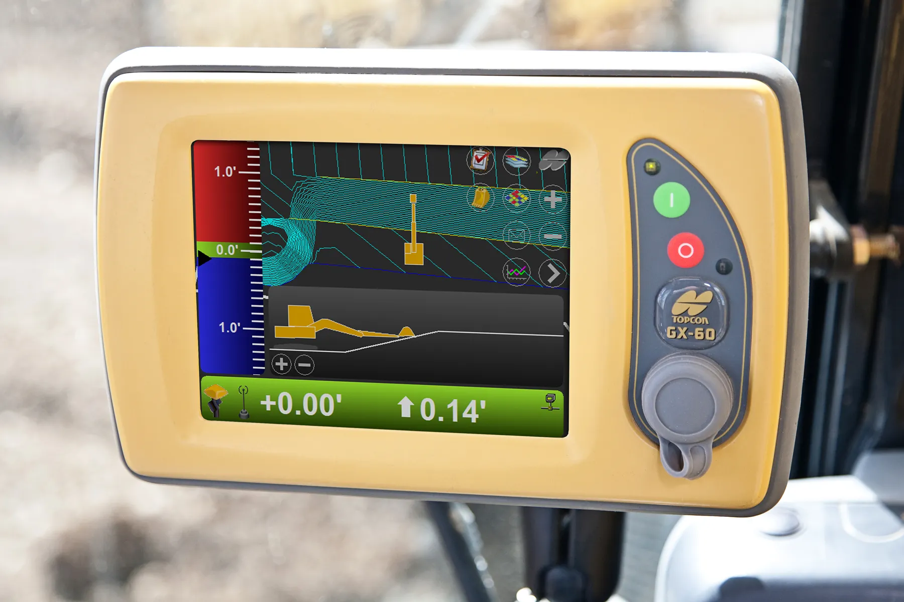
    Topcon’s new X-63i 3D indicate system for excavators is the latest addition to its machine control portfolio. “The new system combines Topcon’s advanced GNSS global positioning technology and machine sensors with the heavy-duty GX-60 touchscreen colour display to provide an easy-to-use system for increased excavation efficiency,” said Kris Maas, Topcon’s machine control product marketing manager.
  • Topcon unveils X-63i indicate systems for excavators
    February 25, 2014
    Topcon’s new X-63i 3D indicate system for excavators is the latest addition to its machine control portfolio. “The new system combines Topcon’s advanced GNSS global positioning technology and machine sensors with the heavy-duty GX-60 touchscreen colour display to provide an easy-to-use system for increased excavation efficiency,” said Kris Maas, Topcon’s machine control product marketing manager.
  • The Year in Infrastructure 2016 Conference Showcases China’s BIM Advancements
    November 15, 2016
    Unprecedented Scope and Diversity of Finalists and Awardees; CABRTech CEO Mr. Jiefeng Xu Addresses Building Forum LONDON – The Year in Infrastructure 2016 Conference – 1 November 2016 – Bentley Systems, Incorporated, a leading global provider of comprehensive software solutions for advancing infrastructure, today reported respects in which China sets the pace globally for BIM advancements. This year, the independent juries of the Be Inspired Awards selected nine Chinese projects among 54 finalists, an
  • Topcon and Bentley training event
    April 12, 2018
    Topcon Positioning Group and Bentley Systems has run the first in its collaborative Constructioneering Academy initiatives The first session was held recently in Livermore, California. The two firms have joined efforts to provide opportunities designed to allow construction industry professionals to learn best practices in constructioneering, a process of managing and integrating survey, engineering, and construction data, to streamline construction workflows and improve project delivery. This approach