Topcon releases SurveyMaster Lite

Topcon Europe Positioning has released SurveyMaster Lite, a new CAD-based desktop application for surveying and job site information editing and plotting. Mark Contino, TPS (Topcon Positioning Systems, Livermore, USA) vice president of product marketing, said: "SurveyMaster Lite is a cost-efficient surveying office software package perfect for the cadastral surveying and construction stakeout professional."
February 13, 2012 Read time: 2 mins

342 Topcon Europe Positioning has released SurveyMaster Lite, a new CAD-based desktop application for surveying and job site information editing and plotting.

Mark Contino, TPS (Topcon Positioning Systems, Livermore, USA) vice president of product marketing, said: "SurveyMaster Lite is a cost-efficient surveying office software package perfect for the cadastral surveying and construction stakeout professional." Modelled from Topcon's SurveyMaster software program, SurveyMaster Lite is loaded with survey specific functionality as well as surface modelling and contouring tools. It provides tools required to produce final plats and survey calculations for property surveys, topographic maps and ALTA surveys, and is designed so users can manage data from raw format all the way through to a finished plot. Survey calculations can be completed and uploaded to the field collector for stakeout and field verification.

Contino said: "SurveyMaster Lite is the perfect addition to complete any Topcon instrument system. It completes the cycle of a 'field-to-finish' solution. The program is on the USB drive so users can simply take the USB Drive with them and have the program on any PC.

"It was designed by surveyors that have the software experience needed to understand what is needed to manage site and surveying data efficiently."

For more information on companies in this article

Related Content

  • Wirtgen now offers a sophisticated 3D paver control system
    January 30, 2013
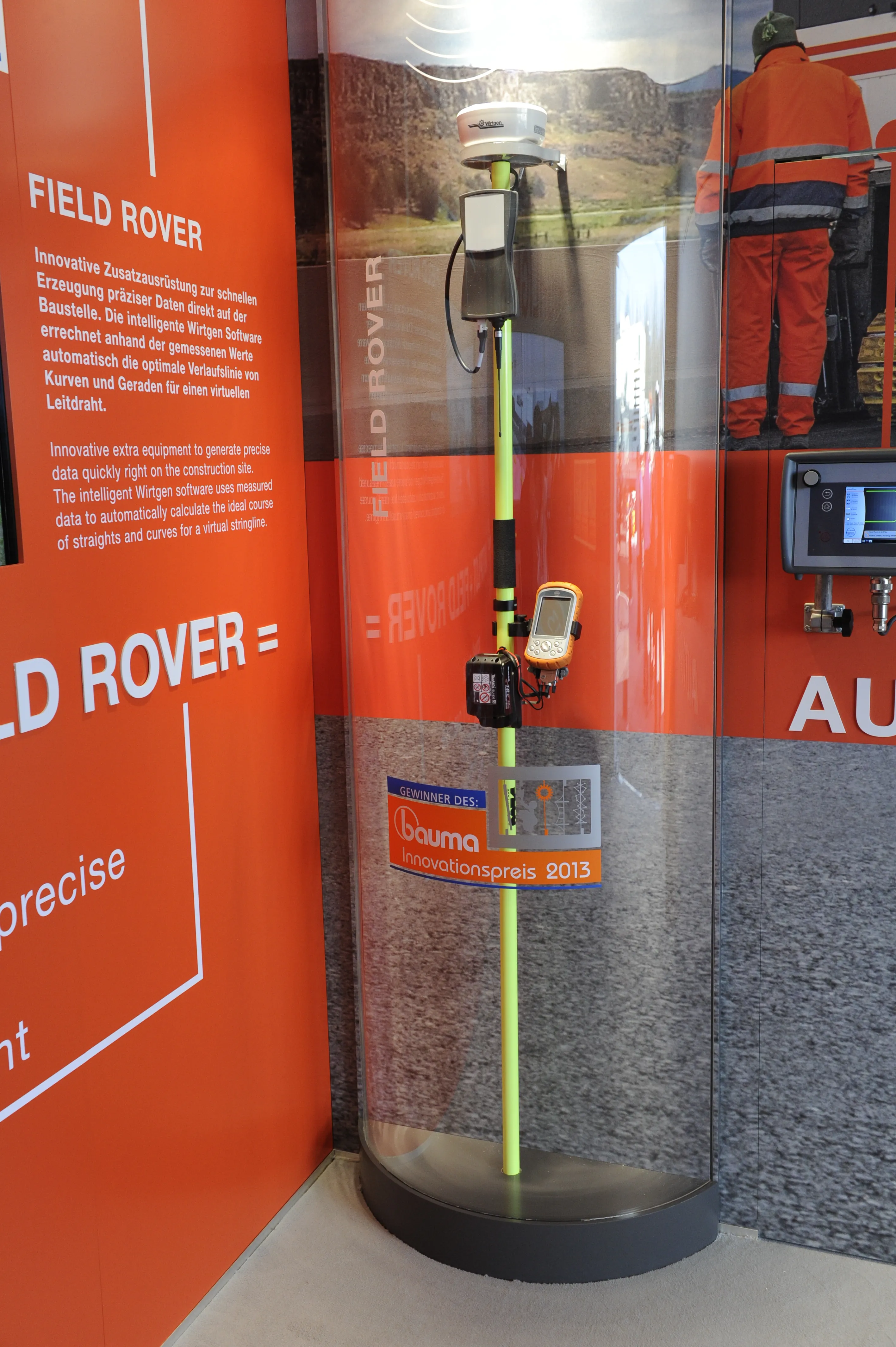
    Wirtgen is introducing its latest AutoPilot Field Rover system which allows fully automatic, stringline-free concrete paving and allows jobs to be carried out more easily, quickly and economically. The system is more efficient than using conventional stringlines and is faster also and its 3D control system comprises a computer integrated into the machine and a control panel. Two GPS receivers mounted on the machine communicate with a GPS reference station on the job site. A digital terrain model is not requ
  • CONEXPO-CON/AGG 2017 will help you imagine what’s next
    March 15, 2017
    What sort of key trends will be on show, and how will these new technologies shape the sector over the coming years? Alan Dron interviewed Al Cervero, the AEM senior vice-president for construction, utility and mining on how the show will reveal what is coming. The theme for this year’s event is “Imagine what’s next”, a particularly appropriate title in view of the changes in both technology and the environment in which that technology will be used.
  • New developments in road recycling and milling
    June 11, 2019
    New developments in road recycling and milling will allow contractors to remove old surfaces more quickly and efficiently – Mike Woof reports
  • Advanced GNSS capabilities with Topcon
    April 9, 2025

    Topcon Positioning says that its new HiPer XR offers more capabilities for GNSS duties. The HiPer receivers suit duties in survey applications, including engineering design, and cadastral projects. These versatile tools can also be used for construction site layout/stakeout, grade checking, and material volume calculations. HiPer receivers can also be paired with robotic total stations for Hybrid Positioning