Topcon releases SurveyMaster Lite

Topcon Europe Positioning has released SurveyMaster Lite, a new CAD-based desktop application for surveying and job site information editing and plotting. Mark Contino, TPS (Topcon Positioning Systems, Livermore, USA) vice president of product marketing, said: "SurveyMaster Lite is a cost-efficient surveying office software package perfect for the cadastral surveying and construction stakeout professional."
February 13, 2012 Read time: 2 mins

342 Topcon Europe Positioning has released SurveyMaster Lite, a new CAD-based desktop application for surveying and job site information editing and plotting.

Mark Contino, TPS (Topcon Positioning Systems, Livermore, USA) vice president of product marketing, said: "SurveyMaster Lite is a cost-efficient surveying office software package perfect for the cadastral surveying and construction stakeout professional." Modelled from Topcon's SurveyMaster software program, SurveyMaster Lite is loaded with survey specific functionality as well as surface modelling and contouring tools. It provides tools required to produce final plats and survey calculations for property surveys, topographic maps and ALTA surveys, and is designed so users can manage data from raw format all the way through to a finished plot. Survey calculations can be completed and uploaded to the field collector for stakeout and field verification.

Contino said: "SurveyMaster Lite is the perfect addition to complete any Topcon instrument system. It completes the cycle of a 'field-to-finish' solution. The program is on the USB drive so users can simply take the USB Drive with them and have the program on any PC.

"It was designed by surveyors that have the software experience needed to understand what is needed to manage site and surveying data efficiently."

For more information on companies in this article

Related Content

  • LiDAR surveying is making inroads into asset management
    December 18, 2017
    In the coming age of the autonomous vehicle, fast and accurate LiDAR surveying will be increasingly important, explains Valdis Vanags. The game-changing introduction of autonomous vehicles relies not only on intelligent traffic systems but well maintained roads to help computer-guided systems navigate using road markings. Laser scanning technology, too, is a game changer when it comes to planning and executing many civil engineering projects, including transport network upgrades and smart city initiatives.
  • Automatic control
    February 7, 2012
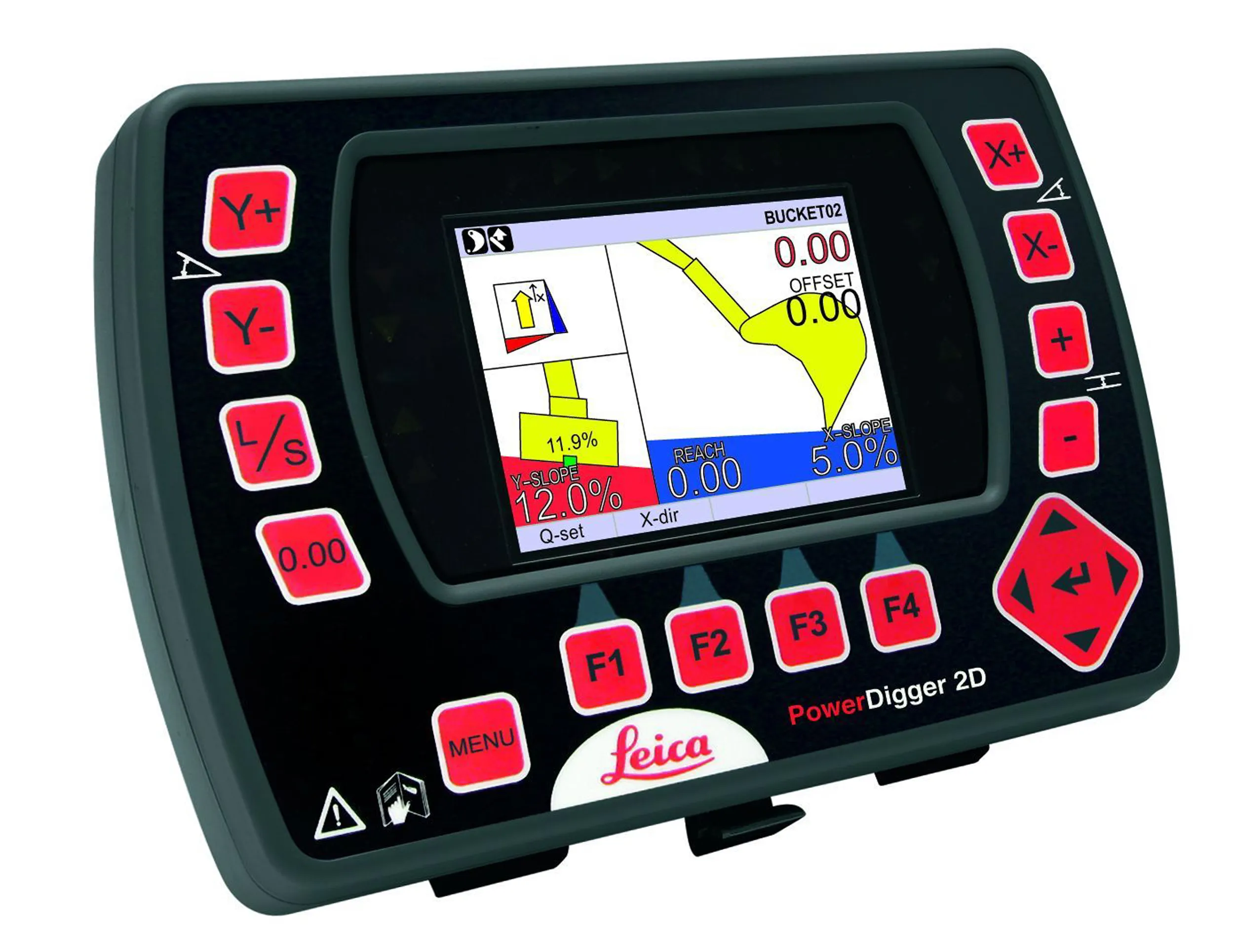
    Leica Geosystems says that sophisticated PowerDigger 2D guidance system for excavators offers automatic slope control. The system expands on its PowerSnap technology and is said to make excavating easier and more productive. The system uses a standard panel whether fitted to a dozer, excavator or grader, which is also said to save money on training and equipment, as well as reducing down time. Leica PowerDigger 2D system allows multiple elevations and slopes to be constructed at any orientation, witho
  • ERIC 2016: What shape the ‘Smart Road’?
    February 7, 2017
    Optimism about the future of highways worldwide abounded at the inaugural European Road Infrastructure Conference (ERIC) in Leeds, UK Around 500 delegates passed through the varied sessions during the three-day event at the Royal Armouries Museum in the northern English city of Leeds. They came away with many visions of what a motorway and road could look like. But what speakers at the event - co-organised by the Brussels-based European Union Road Federation (ERF) and the UK’s Road Safety Markings Ass
  • GPS machine control boosts productivity
    February 23, 2012
    New technology can allow more productive and more cost-effective earthmoving jobs. Mike Woof reports