Topcon releases SurveyMaster Lite

Topcon Europe Positioning has released SurveyMaster Lite, a new CAD-based desktop application for surveying and job site information editing and plotting. Mark Contino, TPS (Topcon Positioning Systems, Livermore, USA) vice president of product marketing, said: "SurveyMaster Lite is a cost-efficient surveying office software package perfect for the cadastral surveying and construction stakeout professional."
February 13, 2012 Read time: 2 mins
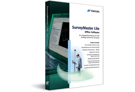
342 Topcon Europe Positioning has released SurveyMaster Lite, a new CAD-based desktop application for surveying and job site information editing and plotting.

Mark Contino, TPS (Topcon Positioning Systems, Livermore, USA) vice president of product marketing, said: "SurveyMaster Lite is a cost-efficient surveying office software package perfect for the cadastral surveying and construction stakeout professional." Modelled from Topcon's SurveyMaster software program, SurveyMaster Lite is loaded with survey specific functionality as well as surface modelling and contouring tools. It provides tools required to produce final plats and survey calculations for property surveys, topographic maps and ALTA surveys, and is designed so users can manage data from raw format all the way through to a finished plot. Survey calculations can be completed and uploaded to the field collector for stakeout and field verification.

Contino said: "SurveyMaster Lite is the perfect addition to complete any Topcon instrument system. It completes the cycle of a 'field-to-finish' solution. The program is on the USB drive so users can simply take the USB Drive with them and have the program on any PC.

"It was designed by surveyors that have the software experience needed to understand what is needed to manage site and surveying data efficiently."

For more information on companies in this article

Related Content

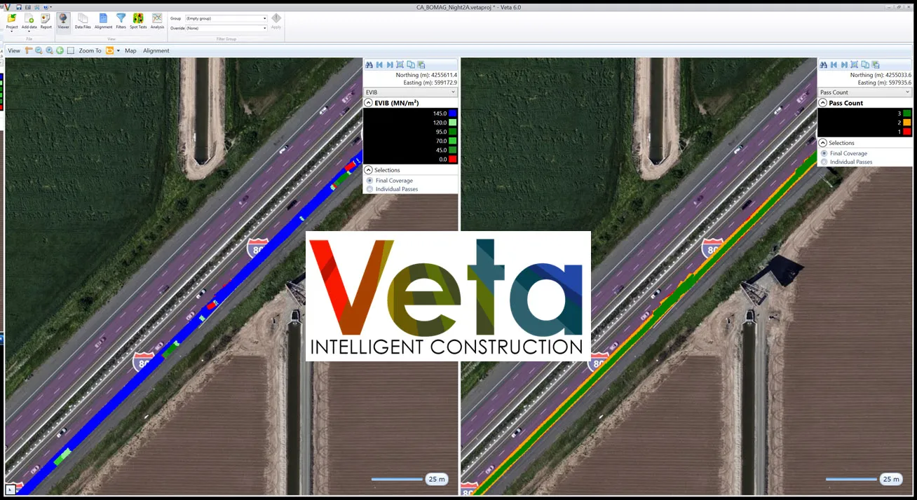
  • Transtec launches Veta 6 software
    July 22, 2020
    Veta 6 enhances usability and expands features included with previous versions.
  • GPS system for trenching
    February 7, 2012
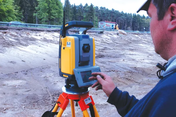
    Mastenbroek has developed a sophisticated GPS-controlled system for use in drainage trenching applications in partnership with Trimble Germany. The package is based on Trimble's Field Level II technology and is said to offer key benefits over existing laser-based technology. Surveying times can be slashed while drainage costs can be cut through more accurate deployment of gravel fill. An on-board computerised touch-screen display records every detail of the job, which can be downloaded for analysis and bill
  • Defining the standards for asphalt road surfaces
    February 20, 2012
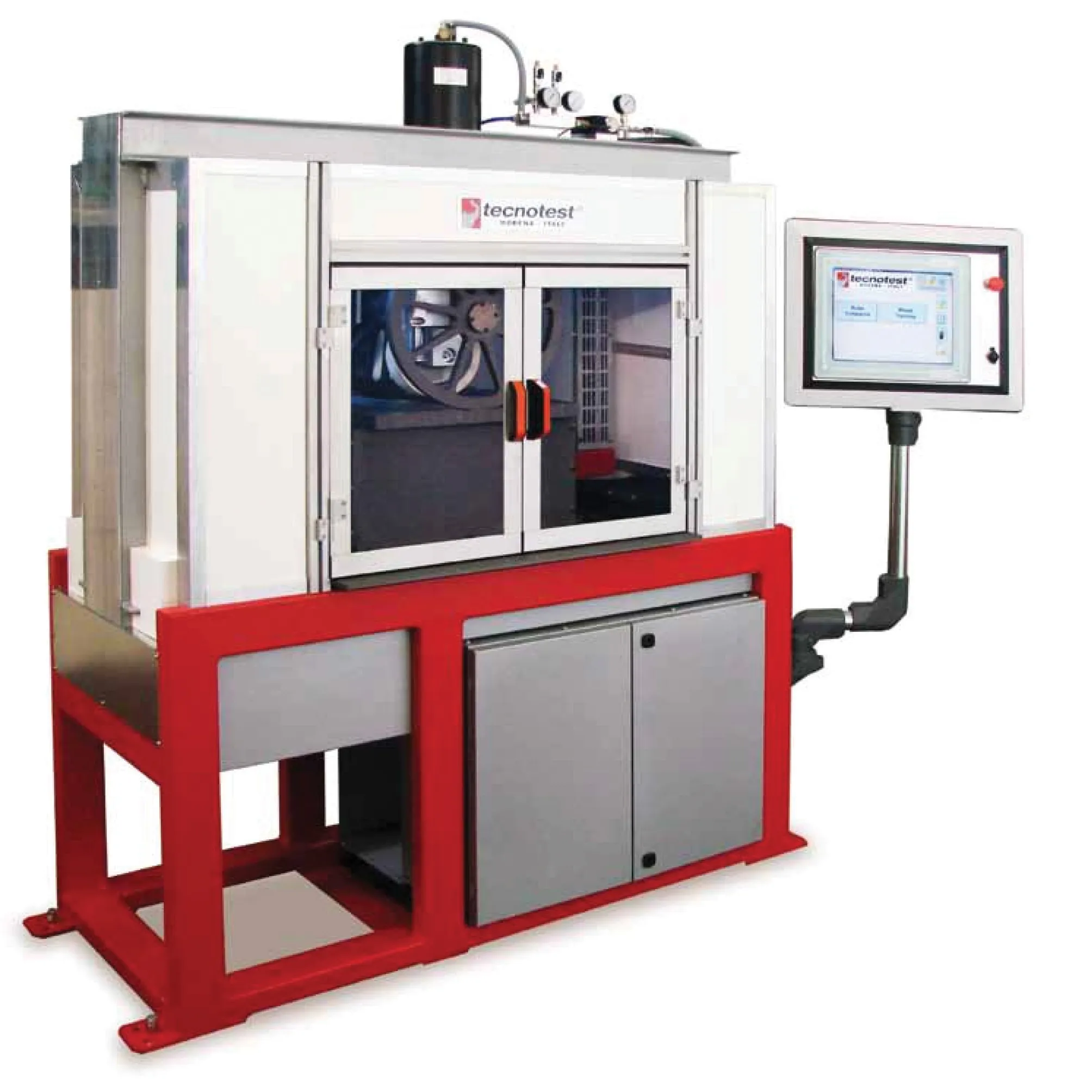
    Materials used to construct roads must meet defined standards to offer a variety of solutions including durability, smoothness and long life. The need for the regular testing of materials used in highway construction is now a must on all projects. It is essential to make sure that the materials used in producing roads meet defined standards and offer durability, smoothness and long life.
  • Asphalt milling optimised by 3D controls
    February 20, 2012
    3D machine controls can optimise milling efficiency, Mike Woof reports. More efficient milling and recycling operations can be carried out by using the latest 3D control systems on the market. At the last Trimble Dimensions event in Las Vegas, the advantages of 3D controls for milling operations proved a key topic. The use of 3D control systems can offer huge advantages in milling operations. This technology helps increase productivity as the milling machine will only remove what is required, which also hel