Topcon releases SurveyMaster Lite

Topcon Europe Positioning has released SurveyMaster Lite, a new CAD-based desktop application for surveying and job site information editing and plotting. Mark Contino, TPS (Topcon Positioning Systems, Livermore, USA) vice president of product marketing, said: "SurveyMaster Lite is a cost-efficient surveying office software package perfect for the cadastral surveying and construction stakeout professional."
February 13, 2012 Read time: 2 mins
342 Topcon Europe Positioning has released SurveyMaster Lite, a new CAD-based desktop application for surveying and job site information editing and plotting.

Mark Contino, TPS (Topcon Positioning Systems, Livermore, USA) vice president of product marketing, said: "SurveyMaster Lite is a cost-efficient surveying office software package perfect for the cadastral surveying and construction stakeout professional." Modelled from Topcon's SurveyMaster software program, SurveyMaster Lite is loaded with survey specific functionality as well as surface modelling and contouring tools. It provides tools required to produce final plats and survey calculations for property surveys, topographic maps and ALTA surveys, and is designed so users can manage data from raw format all the way through to a finished plot. Survey calculations can be completed and uploaded to the field collector for stakeout and field verification.

Contino said: "SurveyMaster Lite is the perfect addition to complete any Topcon instrument system. It completes the cycle of a 'field-to-finish' solution. The program is on the USB drive so users can simply take the USB Drive with them and have the program on any PC.

"It was designed by surveyors that have the software experience needed to understand what is needed to manage site and surveying data efficiently."

For more information on companies in this article

Related Content

  • Innovative control system for concrete pavers
    February 14, 2012
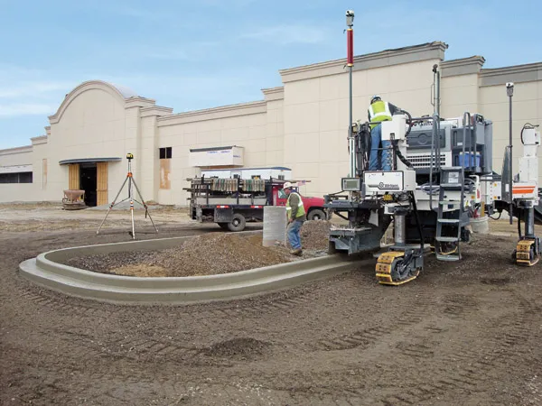
    Wirtgen has developed a novel control system for use on its concrete paving equipment. Matthias Fritz is the product engineer at Wirtgen tasked with developing the system. The new AutoControlpackage uses GPS technology to provide guidance for the machine's steering functions. Fritz added, "It has an augmentation centre for vertical control because it requires millimetre accuracy for height." This 3D control system is for use with the firm's SP15 and SP25 slipform pavers and is said to be a user-friendly, co
  • Lima's massive $2 billion airport project
    March 4, 2025
    Peru’s capital, Lima, is to benefit from a massive new international airport, which will be one of the largest in Latin America – Mike Woof writes
  • New software makes road marking applications easier
    February 17, 2012
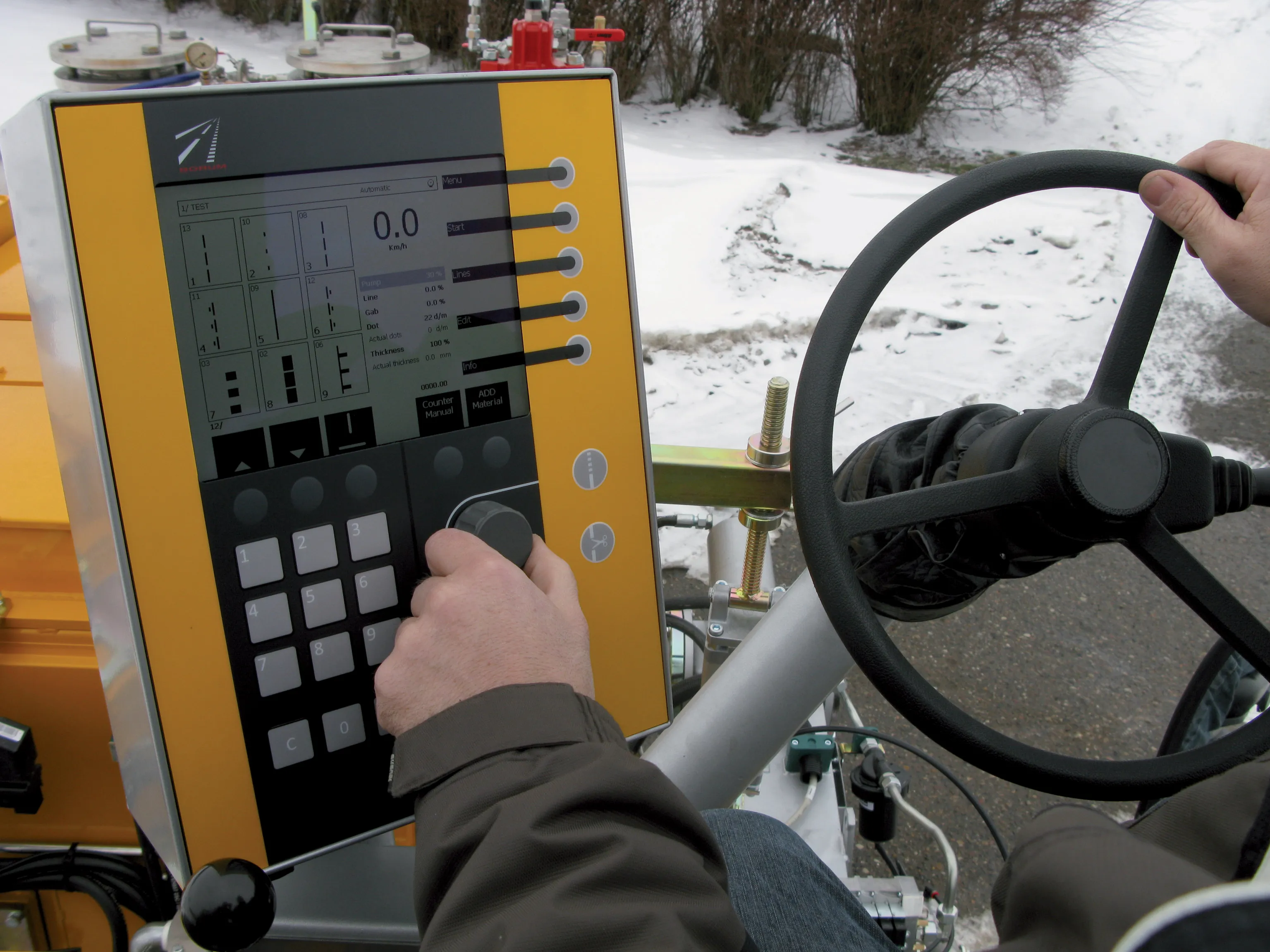
    Equipment, materials and testing combine to offer motorists better road markings as Patrick Smith reports Drivers realise that clear road markings, particularly in darkness and during the wet, are life-savers, offering guidance and direction. Manufacturers of marking materials, in-road studs, and testing and laying equipment have spent years perfecting solutions to make such markings easier to place; easier to see through the use of a variety of materials, and longer lasting. Sophisticated testing equip
  • Machine control from Topcon for compact equipment
    March 17, 2023
    A new system from Topcon Positioning is taking the firm into a new market segment. Mark Contino is vice-president of North American Retail Distribution at Topcon Positioning Systems and commented that the technology is now well-accepted on larger projects, “We’ve been doing GPS since the late 1990s. It’s not new anymore. Everyone uses it now.”