Topcon offers the potential for smoother roads

An improved package from Topcon Positioning will allow upgrades in road surface quality. The firm is launching an upgrade to its SmoothRide data collection software. This new RD-M1 Collect 2.0 package includes updates that make the mapping of road conditions easier and more efficient. The improved interface is designed to simplify setup and automatically detect the position of the wheel sensor during data collection.
May 11, 2018 Read time: 2 mins
An improved package from 342 Topcon Positioning will allow upgrades in road surface quality. The firm is launching an upgrade to its SmoothRide data collection software.


This new RD-M1 Collect 2.0 package includes updates that make the mapping of road conditions easier and more efficient. The improved interface is designed to simplify setup and automatically detect the position of the wheel sensor during data collection.

According to the firm, operators can take advantage of the RD-M1 Collect 2.0 graphical interface status bar that indicates the optimum speed for collecting road information based on the project requirements. Capturing at proper speed is said to allow SmoothRide to achieve better results. The Memos tool is a new feature allowing operators to generate balloons with messages onto the map, while collecting data that also can be made visible in the processing software. This allows specific site conditions to be noted for future reference.

The new Manage Runs feature is designed to enable operation without necessitating Windows explorer to be open. The firm says that large buttons make using a tablet or laptop with touchscreen much easier. Operators can copy data collections to a USB drive, delete them from the hard drive, and add or remove them from the manager. The RD-M1 Collect 2.0 new Plan Route feature also allows for the import of kml files of predetermined routes. By using the new map downloader, operators can have map details visible while collecting data, without the need of an internet connection.

For more information on companies in this article

Related Content

  • Cat® mid-sized asphalt pavers: compact size, simple operation, more flexibility for urban and rural jobs
    April 4, 2024
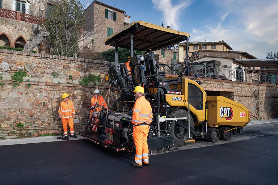
    The new Cat Mid-Sized Asphalt Pavers (AP400, AP455, AP500 & AP555) offer contractors more opportunities to pave both urban and rural applications. Their compact size and small footprint provide exceptional manoeuvrability in tight spaces like narrow streets and small car parks, yet, when equipped with extensions it delivers a wide paving range for rural roads and wide streets.
  • Apps for all in Louisiana
    May 20, 2020
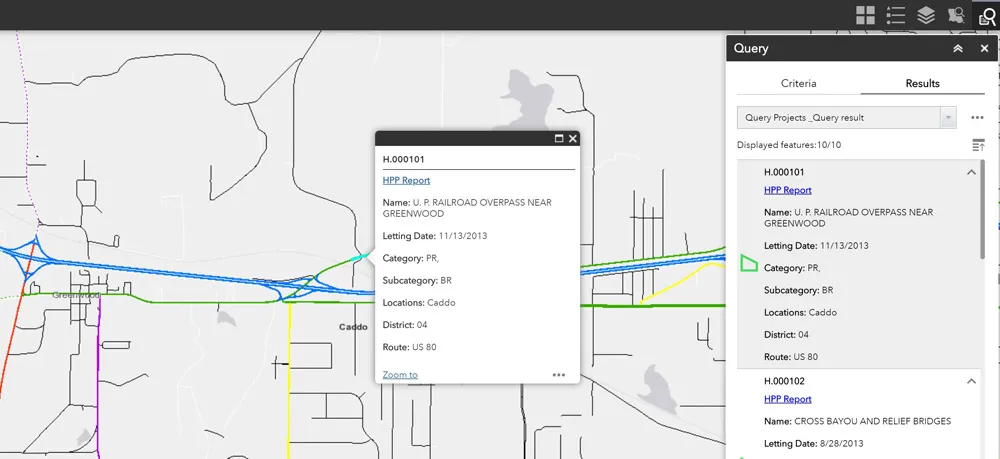
    Jason Barnes* looks at how a system of engagement (SoE) from software specialist Esri helped the US state of Louisiana’s transportation department create user-friendly apps
  • Better drainage planning with QuAD software
    April 19, 2021
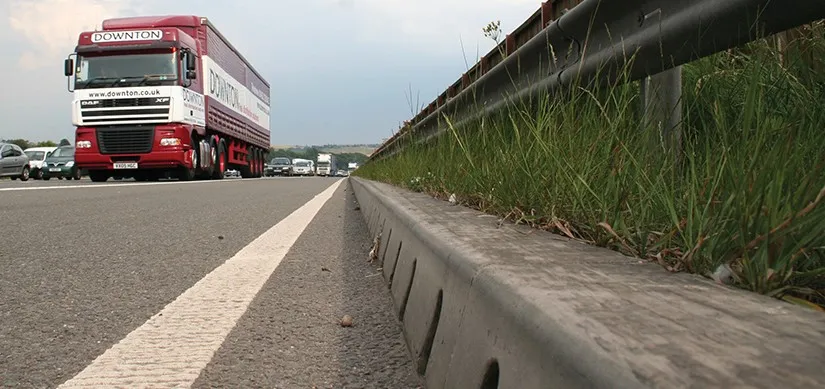
    The QuAD software resilience tool from ACO Water Management allows users to test the efficiency of a proposed maintenance regime for a roadway water channel design.
  • SICK’s LMS 1000 and RMS 1000 sensors deliver the goods
    January 7, 2019
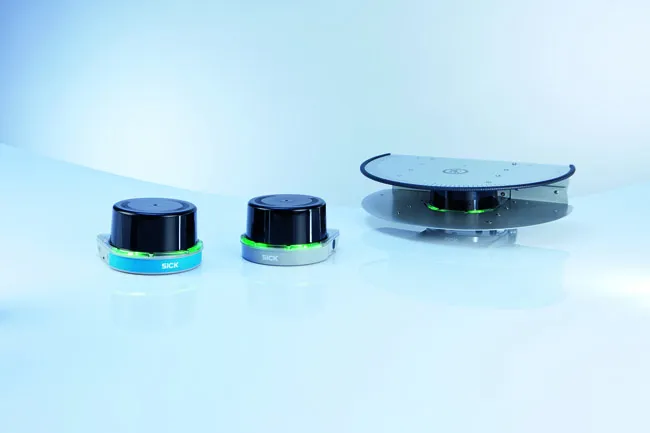
    SICK says that it’s recently launched LMS1000 and MRS1000 infrared LiDAR sensors deliver more accurate and reliable distance sensing and measurement, especially in difficult conditions. The robust, compact sensors weigh just 1.2kg and come with rotatable connectors for easy mounting on gantries. Heavy rain, mist, dust or snow can lead to false signals, explained Neil Sandhu, SICK’s national product manager for imaging, measurement, ranging and systems. The addition of SICK’s triple-echo HDDM+ - High Defini