Topcon: 'next generation' technology

Topcon Europe Positioning has introduced its 'next-generation' field controller technology with its new FC-250, which is designed to give users increased power and performance in a rugged and compact unit.
February 14, 2012 Read time: 1 min
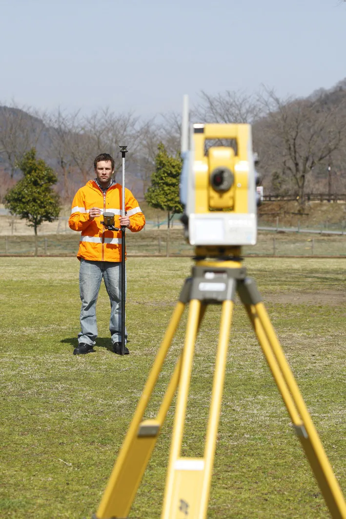
Topcon's FC-250 is designed to give users increased power and performance
342 Topcon Europe Positioning has introduced its 'next-generation' field controller technology with its new FC-250, which is designed to give users increased power and performance in a rugged and compact unit.

The FC-250 has the operating system power of the latest Windows Mobile Version 6.5. The PC performance with 806MHz processor and 256MB SDRAM is designed to significantly speed up data collection in the field. The FC-250 also has a built-in Bluetooth modem and wireless LAN capability as standard features.

Scott Langbein, TPS senior product manager, said: "The FC-250 is not a simple improvement over the successful FC-200. It offers improved graphics and user-interface as well as the highest PC performance ideal for handling video images.

"When used with Topcon's IS Imaging Station, the FC-250 displays real-time images transferred from the IS via wireless LAN, allowing users to work with live images. This feature will certainly drive forward one-person survey technology.

"While the FC-250 is extremely compact, it is truly 'heavy duty.' Inclement weather is not a deterrent to using the FC-250."

For more information on companies in this article

Related Content

  • Wider range of survey software functionality
    February 9, 2012
    Leica Geosystems is offering a broad spread of new packages and hardware that will deliver improved performance to users. The firmware 2.0 product is said to add powerful new capabilities to the Leica ScanStation C10, the industry's most popular 3D laser scanner for as-built and topographic surveys. This further increases the productivity and versatility of the fully integrated, cable-less ScanStation C10. A new Setup facility lets users take advantage of known survey points and backsighting, while remote,
  • Trimble's ruggedised tablet for site use
    May 15, 2019
    Trimble is now offering its T7 Tablet, a rugged, lightweight and versatile device for construction surveying applications. The unit features the Trimble Siteworks Software for construction surveying, allowing it to provide real-time data to visualise cut/fill levels, calculate material volumes, check grade and communicate work orders. This can allow users to to improve productivity and decision-making. Scott Crozier, general manager for Trimble’s Civil Engineering and Construction Division said, “Surveyors
  • Laser scanning focuses on asset management
    January 9, 2015
    Laser scanners and improved data collection and analysis software are making light of asset management surveying. David Arminas reports The age of the laser scanner is upon us, taking over from traditional manual methods of surveying, data collection and processing. These new technical developments are making it much easier to process and use the data captured and are providing highways engineers with powerful tools to record, map and visualise their assets. This is good news for highways authorities
  • GPS guidance delivers accurate machine control
    July 12, 2012
    GPS systems for machine control can make massive reductions in operating costs for contractors. Using GPS systems for machine control can make massive reductions in operating costs for contractors and the pace of technology improvements from manufacturers has been rapid. This market segment is dominated by Leica Geosystems, Trimble and Topcon, all of which introduced an array of new products earlier this year. Topcon's dozer control system first seen in public at the Intermat show in Paris, offers notable c