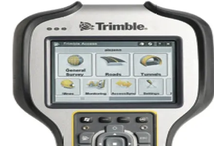
Topcon Europe Positioning has introduced its 'next-generation' field controller technology with its new FC-250, which is designed to give users increased power and performance in a rugged and compact unit.
The FC-250 has the operating system power of the latest Windows Mobile Version 6.5. The PC performance with 806MHz processor and 256MB SDRAM is designed to significantly speed up data collection in the field. The FC-250 also has a built-in Bluetooth modem and wireless LAN capability as standard features.
Scott Langbein, TPS senior product manager, said: "The FC-250 is not a simple improvement over the successful FC-200. It offers improved graphics and user-interface as well as the highest PC performance ideal for handling video images.
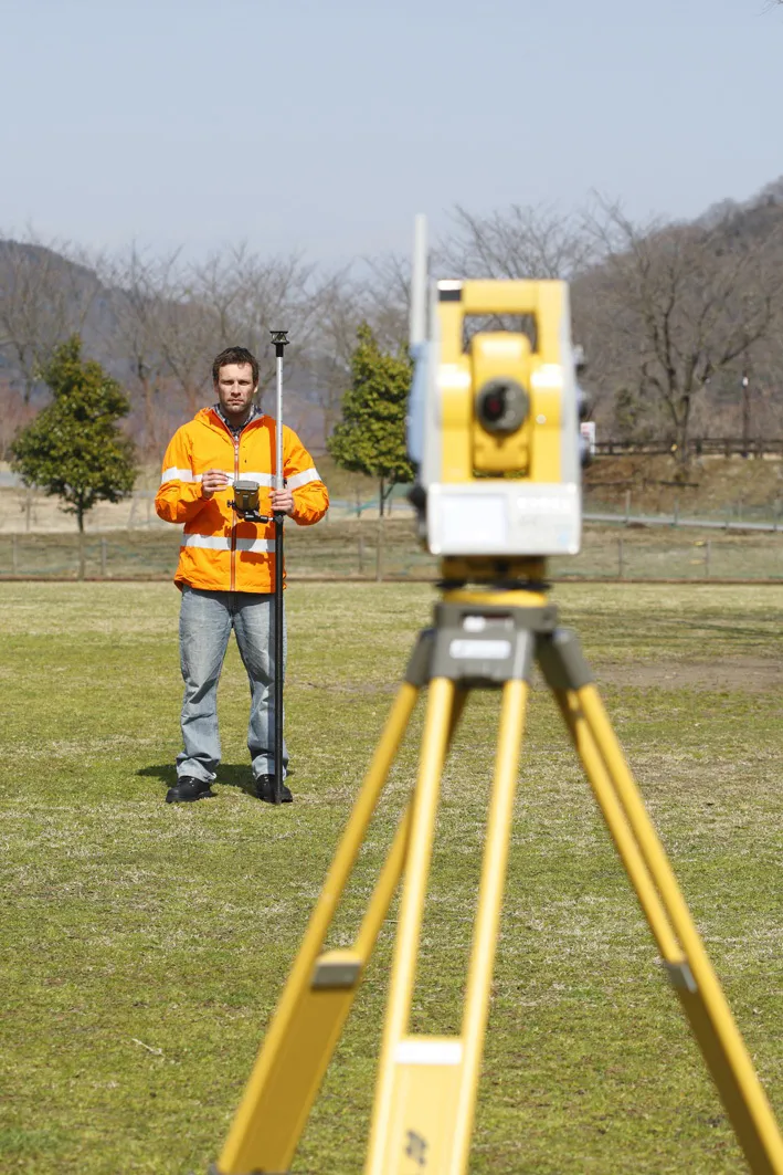
"When used with Topcon's IS Imaging Station, the FC-250 displays real-time images transferred from the IS via wireless LAN, allowing users to work with live images. This feature will certainly drive forward one-person survey technology.
"While the FC-250 is extremely compact, it is truly 'heavy duty.' Inclement weather is not a deterrent to using the FC-250."