Topcon introduces sophisticated GIS technology

Topcon Positioning Group is broadening its range of GIS solutions with the introduction of the new FC-500 data controller and MAGNET Relay package. The FC-500 unit features a large, bright sunlight-readable display and is compatible with either the Topcon eGIS or MAGNET Field GIS software.
November 20, 2014 Read time: 2 mins
RSS

342 Topcon Positioning Group is broadening its range of GIS solutions with the introduction of the new FC-500 data controller and MAGNET Relay package. The FC-500 unit features a large, bright sunlight-readable display and is compatible with either the Topcon eGIS or MAGNET Field GIS software.

 The FC-500 is designed to deliver speedy dataflow between the field and office and has built-in wireless Bluetooth and WiFi connectivity, and an optional 3.5G cellular modem. This allows communications in the field, to the office, and additionally to the cloud when used with MAGNET Enterprise.

The firm says the package increases productivity as information can be stored and accessed immediately in the cloud, speeding data transfer and retrieval. Additional features of the FC-500 include a 1GHz processor and 8GB flash storage. When used with MAGNET Field, users can imprint file information, including GPS location, directly on photos that are taken with the internal 5MP camera.

The FC-500 can also be used as a stand-alone device for 2-5m accuracy or as part of a complete high-accuracy GIS solution. Meanwhile the MAGNET Relay is a mobile base station RTK (Real Time Kinematic) broadcasting service. The system is designed to allow subscribers to connect a GNSS base receiver to MAGNET Relay via a cellular connection for high-accuracy RTK corrections. The RTK base station can be used by up to 10 rovers according to the firm, making MAGNET Relay a useful solution for large scale and highly precise GIS projects.

For more information on companies in this article

Related Content

  • GPS technology developments
    June 13, 2012
    The use of GPS-inclusive technology is proving invaluable to contractors responsible for major transport-related construction projects across the globe. Guy Woodford looked at some of the latest and imminent site solutions featuring GPS Staff at Trimble Heavy Construction based in Sunnyvale, California recently finished developing three new solutions for connecting the construction site. The Trimble Connected Office, the Trimble Connected Controller and the Trimble Connected Machine, are all now available t
  • Accurate scanning
    February 6, 2012
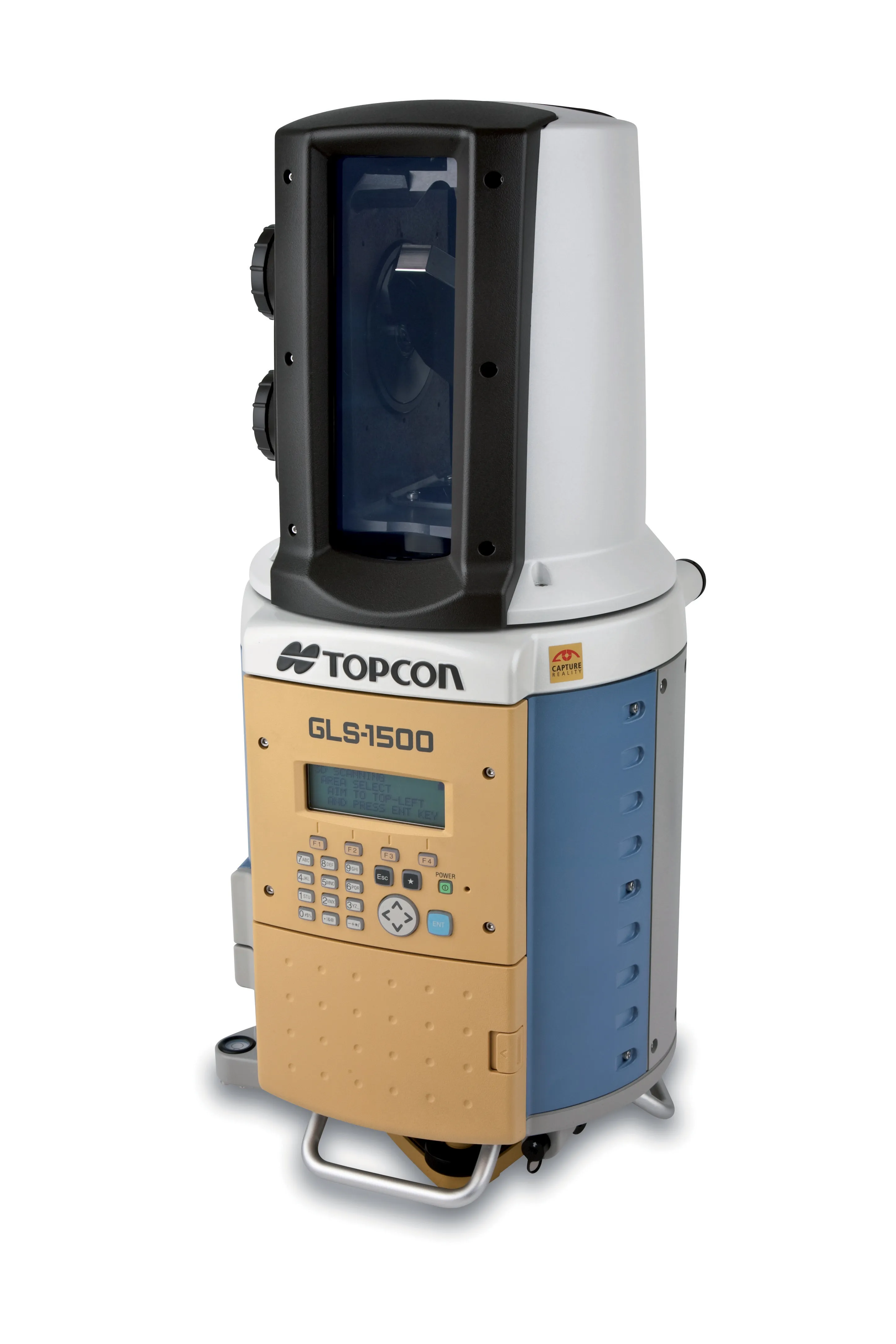
    TOPCON CLAIMS that its GLS- 1500 laser scanner speeds point cloud collection. This unit is 10 times faster than previous units and collects up to 30,000 points/second, reducing the amount of equipment needed in the field. The GLS-1500 offers a range of up to 330m and is designed for quick setup to save time and improve productivity.
  • Wider range of survey software functionality
    February 9, 2012
    Leica Geosystems is offering a broad spread of new packages and hardware that will deliver improved performance to users. The firmware 2.0 product is said to add powerful new capabilities to the Leica ScanStation C10, the industry's most popular 3D laser scanner for as-built and topographic surveys. This further increases the productivity and versatility of the fully integrated, cable-less ScanStation C10. A new Setup facility lets users take advantage of known survey points and backsighting, while remote,
  • Efficient surveying
    February 10, 2012
    According to Spectra Precision, its latest outdoor data collectors can optimise surveying operations. The sophisticated Ranger 3 data collector series and the Nomad 900 series are designed to operate with Spectra Precision Survey Pro field software and offer advanced surveying capabilities. Spectra Precision now offers three Ranger 3 models, the 3L, 3XC and 3RC. These data collectors come standard with an 800MHz processor, 256MB of memory, a full VGA display, integrated Bluetooth, GPS, compass and 802.11 Wi