Texo flying high in the UK with a Topcon Falcon 8+ UAV

Texo Drone Survey and Inspection says that it is the first company in the UK to fly the Falcon 8+ UAV system from Topcon. The multicamera payload Topcon Falcon 8+ is the third-generation edition of the Falcon Drone system that was introduced in 2009 for aerial imaging, monitoring and mapping. The Topcon Falcon 8+ needs minimal pilot corrections while its GCS includes built-in automated flight functions. There is also advanced flight planning thanks to the Intel Cockpit Controller.
July 3, 2018 Read time: 2 mins
Texo Drone Survey and Inspection says that it is the first company in the UK to fly the Falcon 8+ UAV system from Topcon.


The multicamera payload 342 Topcon Falcon 8+ is the third-generation edition of the Falcon Drone system that was introduced in 2009 for aerial imaging, monitoring and mapping.  
The Topcon Falcon 8+ needs minimal pilot corrections while its GCS includes built-in automated flight functions. There is also advanced flight planning thanks to the Intel Cockpit Controller.  

The Intel Cockpit ground control is a water-resistant station built for operators to plan and execute highly complex missions with ease with the integration of the complete single hand flight control joystick. In addition, the Intel Cockpit ground control features an Intelbased tablet and also supports low-latency digital video links. This allows for up to 1080p resolution for the best possible live view.

Topcon Falcon 8+ is said to be resistant to magnetic interference and automatically compensates for wind gusts. There is also an active vibration damping system.  

Safety features include three autopilots, a redundant propulsion system as well as a redundant radio link. The Intel Falcon 8+ System is powered by a dual battery system comprised of Intel Powerpack smart batteries, bringing redundancy even to the power supply. The batteries feature automatic balancing, storage mode, charging and LEDs that display remaining battery life.  

Texo Drone’s key services range from visual inspection and thermographic survey through to detailed survey-grade LiDAR mapping and measurement, as well as multi-hyperspectral analysis. The company maintains a fleet of rotor and fixed wing UAV platforms for contracts nationally and overseas at short notice. ¬

For more information on companies in this article

Related Content

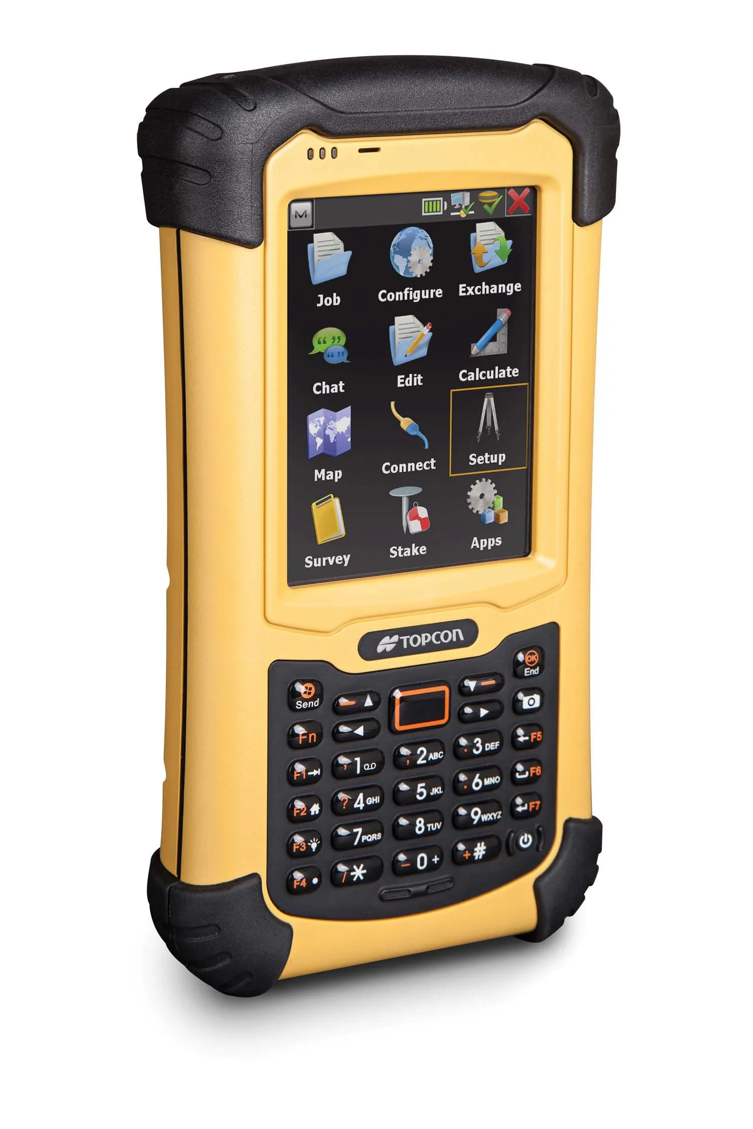
  • Topcon unveils FC-336 date controller
    March 27, 2014
    Topcon has unveiled its new FC-336 data controller designed specifically for the construction industry. In addition to providing field crews with access to MAGNET Enterprise to send and receive data files, the new controller operates with Topcon MAGNET Field, Site and Layout software, as well as Topcon Pocket 3D. A compact and lightweight handheld controller, the FC-336 works with all Topcon GNSS receivers and total stations.
  • Bentley advances construction software technology
    December 19, 2016
    Design and construction software specialist Bentley Systems is strengthening its position in the market with the introduction of new software advances as well as a series of strategic business moves. This allows the company to offer new solutions and technologies to its client base, as well as reaching out to new business segments The firm is introducing an array of powerful tools to the market. A key launch is for the OpenRoads Designer CONNECT Edition, which is the successor to Bentley’s well-proven an
  • LiDAR surveying is making inroads into asset management
    December 18, 2017
    In the coming age of the autonomous vehicle, fast and accurate LiDAR surveying will be increasingly important, explains Valdis Vanags. The game-changing introduction of autonomous vehicles relies not only on intelligent traffic systems but well maintained roads to help computer-guided systems navigate using road markings. Laser scanning technology, too, is a game changer when it comes to planning and executing many civil engineering projects, including transport network upgrades and smart city initiatives.
  • Rapid adoption of GPS machine control
    February 10, 2012
    The high sophistication of GPS machine control systems has resulted in a fast pace of technological advancement. The three major players in the machine control sector, Leica Geosystems, Topcon and Trimble have all made major gains in recent years. The sophistication of the latest systems can combine satellite position data from the GPS and GLONASS networks with information from total stations to provide precise, high speed machine operation. Further more the firms have also prepared themselves for the intro