Texo flying high in the UK with a Topcon Falcon 8+ UAV

Texo Drone Survey and Inspection says that it is the first company in the UK to fly the Falcon 8+ UAV system from Topcon. The multicamera payload Topcon Falcon 8+ is the third-generation edition of the Falcon Drone system that was introduced in 2009 for aerial imaging, monitoring and mapping. The Topcon Falcon 8+ needs minimal pilot corrections while its GCS includes built-in automated flight functions. There is also advanced flight planning thanks to the Intel Cockpit Controller.
July 3, 2018 Read time: 2 mins
Texo Drone Survey and Inspection says that it is the first company in the UK to fly the Falcon 8+ UAV system from Topcon.


The multicamera payload 342 Topcon Falcon 8+ is the third-generation edition of the Falcon Drone system that was introduced in 2009 for aerial imaging, monitoring and mapping.  
The Topcon Falcon 8+ needs minimal pilot corrections while its GCS includes built-in automated flight functions. There is also advanced flight planning thanks to the Intel Cockpit Controller.  

The Intel Cockpit ground control is a water-resistant station built for operators to plan and execute highly complex missions with ease with the integration of the complete single hand flight control joystick. In addition, the Intel Cockpit ground control features an Intelbased tablet and also supports low-latency digital video links. This allows for up to 1080p resolution for the best possible live view.

Topcon Falcon 8+ is said to be resistant to magnetic interference and automatically compensates for wind gusts. There is also an active vibration damping system.  

Safety features include three autopilots, a redundant propulsion system as well as a redundant radio link. The Intel Falcon 8+ System is powered by a dual battery system comprised of Intel Powerpack smart batteries, bringing redundancy even to the power supply. The batteries feature automatic balancing, storage mode, charging and LEDs that display remaining battery life.  

Texo Drone’s key services range from visual inspection and thermographic survey through to detailed survey-grade LiDAR mapping and measurement, as well as multi-hyperspectral analysis. The company maintains a fleet of rotor and fixed wing UAV platforms for contracts nationally and overseas at short notice. ¬

For more information on companies in this article

Related Content

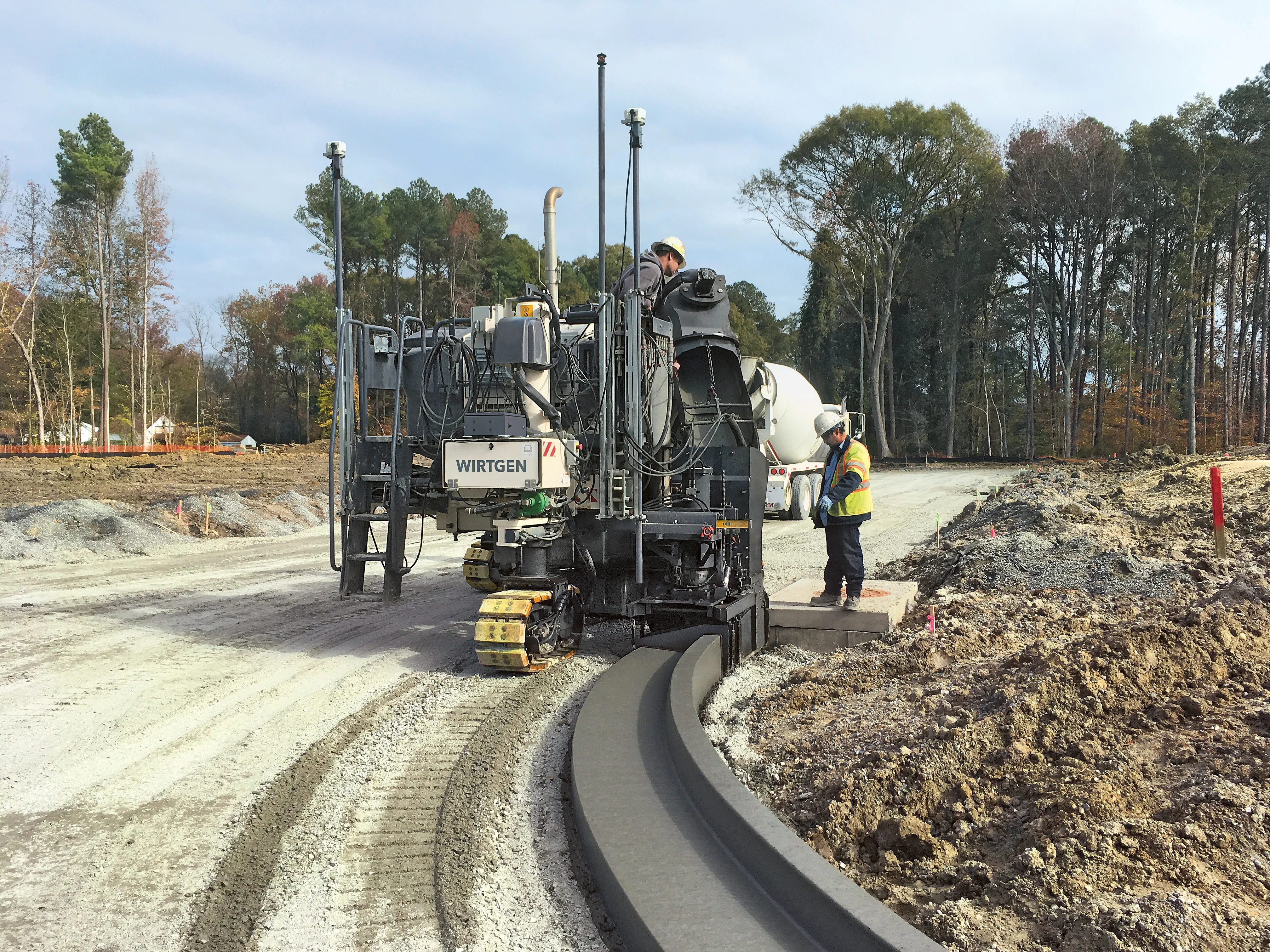
  • Machine control developments from Leica Geosystems, Topcon, Trimble and Wirtgen in the slipforming sector
    July 1, 2013
    Machine control technologies were pioneered in the concrete paving sector with systems having been used for over 10 years. Leica Geosystems was the first of the machine control technology suppliers to offer these systems on concrete slipforming machines and has developed a strong position in this segment. However the company met resistance from some quarters in the construction market and specialist Karl Soar said that some contractors were very reluctant to give up using conventional stringlines. He said,
  • Sophisticated slipformer control from Wirtgen
    August 10, 2018
    Wirtgen is now offering a new version of its concrete slipformer control package. This new tool offers additional capabilities and improved performance over the earlier version. The company claims that its upgraded Wirtgen AutoPilot 2.0 package can deliver a higher paving accuracy along with lower costs. Newly-developed, this package is said to produce a wide array of offset and inset profiles, while also delivering these more economically and precisely than with the previous version. The 3D system can eit
  • Michael Baker receives authority to fly unmanned aerial systems
    August 17, 2015
    US-based engineering firm Michael Baker International has received certification from the Federal Aviation Administration to operate several types of fixed-wing and vertical take-off and landing unmanned aircraft systems. The company said its UAS can capture robust, real-time aerial photographs and video as well as conduct aerial mapping for surveys or site inspections. "Integrating our FAA-certified unmanned aircraft program with our other advanced data collection capabilities allows us to take data
  • Life DYNAMAP: real-time mapping of road infrastructure noise
    October 15, 2015
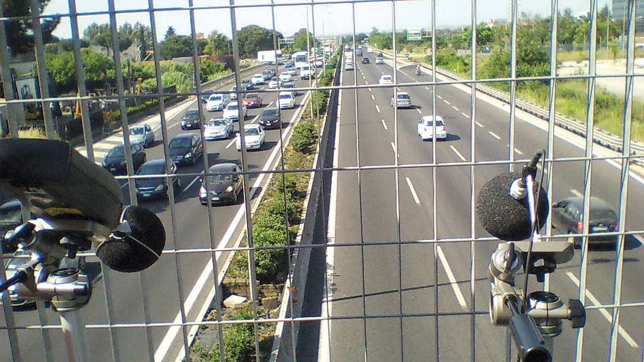
    The world’s best road infrastructure project can also have the world’s worst traffic noise problem. But where to start defeating this noise pollution? Road traffic noise is one of the most obvious aspects affecting the quality of life in urban areas. To combat this, local, national and international authorities have developed initiatives to avoid, prevent or reduce exposure to noise. One of these initiatives – Life DYNAMAP – is underway by a group of researchers in Germany, Spain and Italy. The project is f