Surveying software from Trimble

Trimble has introduced its Siteworks SE Starter Edition, an entry-level, easy-to-use construction surveying software.
June 15, 2021 Read time: 2 mins
Trimble is now offering a new version of its Siteworks package

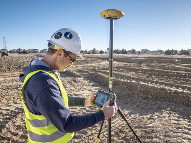
Using a construction GNSS receiver, site personnel can check a grade, slope or alignment and navigate the project more accurately and in less time than with conventional survey methods. Budget-conscious contractors can also achieve a quick return on investment by giving more site personnel access to survey technology, boosting productivity and efficiency in the field.

The Siteworks SE Software is a simplified version of the firm’s existing Siteworks Software. It is aimed at users who do not require a full feature set and are interested in a lower-cost version to connect to GNSS only. The same graphics and features found in Siteworks make the software easy to learn.

Using the same data folder structure, file formats and workflows, the Siteworks SE Software is fully compatible with the Siteworks Software. Contractors can also upgrade to the full version.

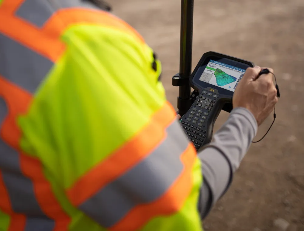
The Siteworks SE Software can be used by contractors who want to determine their location on a project, see cut/fill values to a design surface or alignment, or visualise constructible models in 3D. Users can measure feature points, lines and areas, or navigate to points, lines and alignments, and create PDF reports. A special mode allows users to capture accurate measurements on steep slopes from a moving vehicle. Trimble Siteworks SE is compatible with a wide range of GNSS hardware configurations to meet the contractor’s business needs and budget requirements.

For more information on companies in this article

Related Content

  • Intelligence for compact construction machines
    November 13, 2024
    Trimble is delivering intelligence for compact construction machines.
  • Wider range of survey software functionality
    February 9, 2012
    Leica Geosystems is offering a broad spread of new packages and hardware that will deliver improved performance to users. The firmware 2.0 product is said to add powerful new capabilities to the Leica ScanStation C10, the industry's most popular 3D laser scanner for as-built and topographic surveys. This further increases the productivity and versatility of the fully integrated, cable-less ScanStation C10. A new Setup facility lets users take advantage of known survey points and backsighting, while remote,
  • Rapid adoption of GPS machine control
    February 10, 2012
    The high sophistication of GPS machine control systems has resulted in a fast pace of technological advancement. The three major players in the machine control sector, Leica Geosystems, Topcon and Trimble have all made major gains in recent years. The sophistication of the latest systems can combine satellite position data from the GPS and GLONASS networks with information from total stations to provide precise, high speed machine operation. Further more the firms have also prepared themselves for the intro
  • Trimble's ruggedised tablet for site use
    May 15, 2019
    Trimble is now offering its T7 Tablet, a rugged, lightweight and versatile device for construction surveying applications. The unit features the Trimble Siteworks Software for construction surveying, allowing it to provide real-time data to visualise cut/fill levels, calculate material volumes, check grade and communicate work orders. This can allow users to to improve productivity and decision-making. Scott Crozier, general manager for Trimble’s Civil Engineering and Construction Division said, “Surveyors