Surveying offering

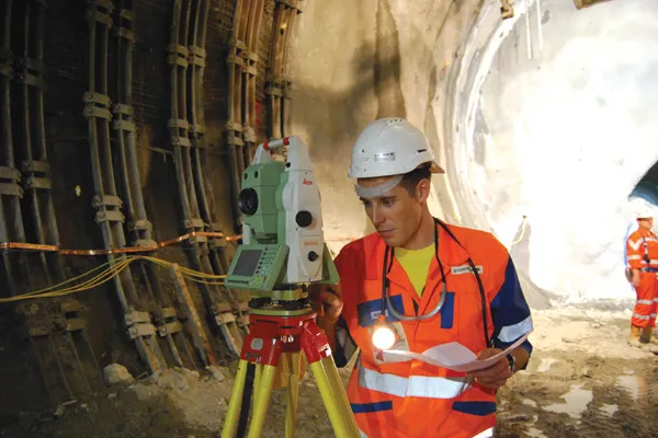
Leica Geosystems is broadening its surveying range with the introduction of three aluminium construction tripods. The two mid-range tripods, the CTP104 and CTP104D, can cope with tough conditions on site and are designed for use with Leica Geosystems levels, lasers and construction theodolites. Both employ quick-release clamps for fast stable setups. The high specification CET103 elevating tripod has an adjustable column with 300mm crank stroke and an additional telescope column for 660mm extension. Minimum
July 4, 2012 Read time: 1 min
RSS265 Leica Geosystems is broadening its surveying range with the introduction of three aluminium construction tripods. The two mid-range tripods, the CTP104 and CTP104D, can cope with tough conditions on site and are designed for use with Leica Geosystems levels, lasers and construction theodolites. Both employ quick-release clamps for fast stable setups. The high specification CET103 elevating tripod has an adjustable column with 300mm crank stroke and an additional telescope column for 660mm extension. Minimum working height is 840mm and it features a bubble for easy adjustment, mm-scale for exact height adjustment indoors and rubber feet for use on slippery surfaces.

In addition, two new packages have been introduced for the Leica Jogger level. These include a Leica Jogger 20 or 24 automatic level, a lightweight aluminum tripod, telescopic staff and a carrying bag for staff and tripod.

For more information on companies in this article

Related Content

  • New NetRover range from Leica
    February 7, 2012
    Leica Geosystems is expanding its Viva GNSS range with the addition of the new NetRover package. This comprises the GS08 receiver, a sophisticated RTK network rover and the new Leica Viva CS10 3.5G field controller. The field controller has a fully integrated high-speed 3.5G modem to connect to RTK reference networks and allow mobile broadband internet connectivity for field-to-office data transfer. In addition to 3.5G, the new field controller can also include Bluetooth, WiFi and TPS radio for further conn
  • Sophisticated scanning tool from Leica Geosystems
    November 8, 2017
    A new laser scanning tool from Leica Geosystems offers accurate and fast 3D imaging laser scanning capabilities. The Leica BLK360 is said to be compact and easy to use, offering powerful spherical image capture duties. The firm says that the unit allows professionals to capture 360° imagery within minutes.
  • Wireless remote control a key feature of new concrete pavers
    March 20, 2012
    Slipform paver manufacturers are currently seeing strong business gains, Mike Woof reports The concrete slipforming sector is seeing strong business gains at present, with high demand for machines right around the globe. In Europe and the US, barrier machines are in particular demand, while in Russia airport paving is top of the agenda. All over the world, airports have to be rebuilt to cope with new large aircraft, and machines are busy operating in Asia, Europe and both North and South America on this
  • GPS technology developments
    June 13, 2012
    The use of GPS-inclusive technology is proving invaluable to contractors responsible for major transport-related construction projects across the globe. Guy Woodford looked at some of the latest and imminent site solutions featuring GPS Staff at Trimble Heavy Construction based in Sunnyvale, California recently finished developing three new solutions for connecting the construction site. The Trimble Connected Office, the Trimble Connected Controller and the Trimble Connected Machine, are all now available t