Surveying offering

Leica Geosystems is broadening its surveying range with the introduction of three aluminium construction tripods. The two mid-range tripods, the CTP104 and CTP104D, can cope with tough conditions on site and are designed for use with Leica Geosystems levels, lasers and construction theodolites. Both employ quick-release clamps for fast stable setups. The high specification CET103 elevating tripod has an adjustable column with 300mm crank stroke and an additional telescope column for 660mm extension. Minimum
July 4, 2012 Read time: 1 min
RSS265 Leica Geosystems is broadening its surveying range with the introduction of three aluminium construction tripods. The two mid-range tripods, the CTP104 and CTP104D, can cope with tough conditions on site and are designed for use with Leica Geosystems levels, lasers and construction theodolites. Both employ quick-release clamps for fast stable setups. The high specification CET103 elevating tripod has an adjustable column with 300mm crank stroke and an additional telescope column for 660mm extension. Minimum working height is 840mm and it features a bubble for easy adjustment, mm-scale for exact height adjustment indoors and rubber feet for use on slippery surfaces.

In addition, two new packages have been introduced for the Leica Jogger level. These include a Leica Jogger 20 or 24 automatic level, a lightweight aluminum tripod, telescopic staff and a carrying bag for staff and tripod.

For more information on companies in this article

Related Content

  • Concrete paving for key Interstate link in South Carolina
    November 15, 2013
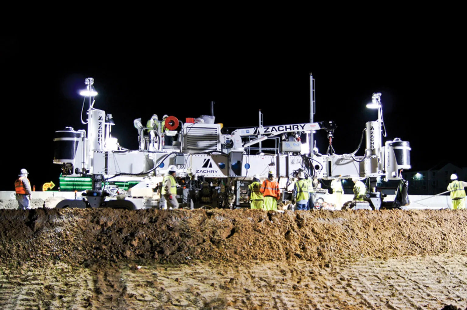
    Concrete paving is being carried out on a key section of Interstate 20, close to the US city of Colombia in South Carolina Contractor Zachry Construction has had success using its Guntert & Zimmerman concrete slipformer for an Interstate paving project in South Carolina. The firm has been using the machine on the US$64 million project to resurface a section of Interstate 20, close to the city of Columbia.
  • GPS machine control systems reduce survey time
    February 14, 2012
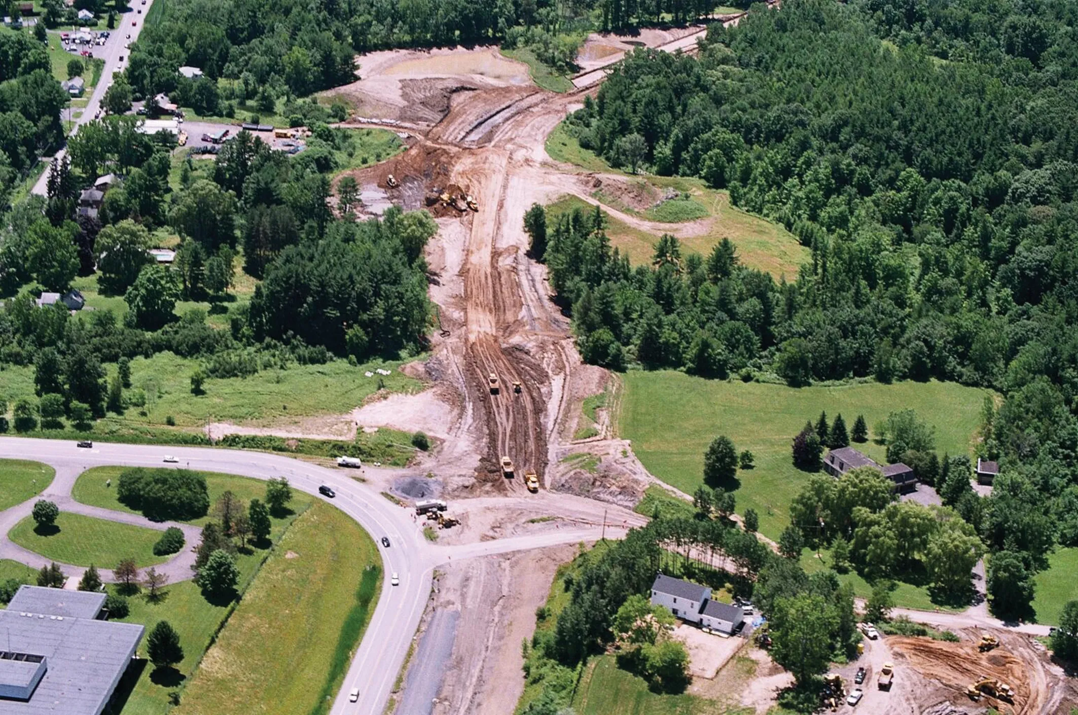
    Innovative uses are being made of GPS technology, Mike Woof reports. US firms Creighton Manning Engineering and Delaney Construction have made a novel use of GPS technology in a project for the Route 85 Slingerlands bypass extension in the US.
  • A novel compact grading solution
    October 16, 2012
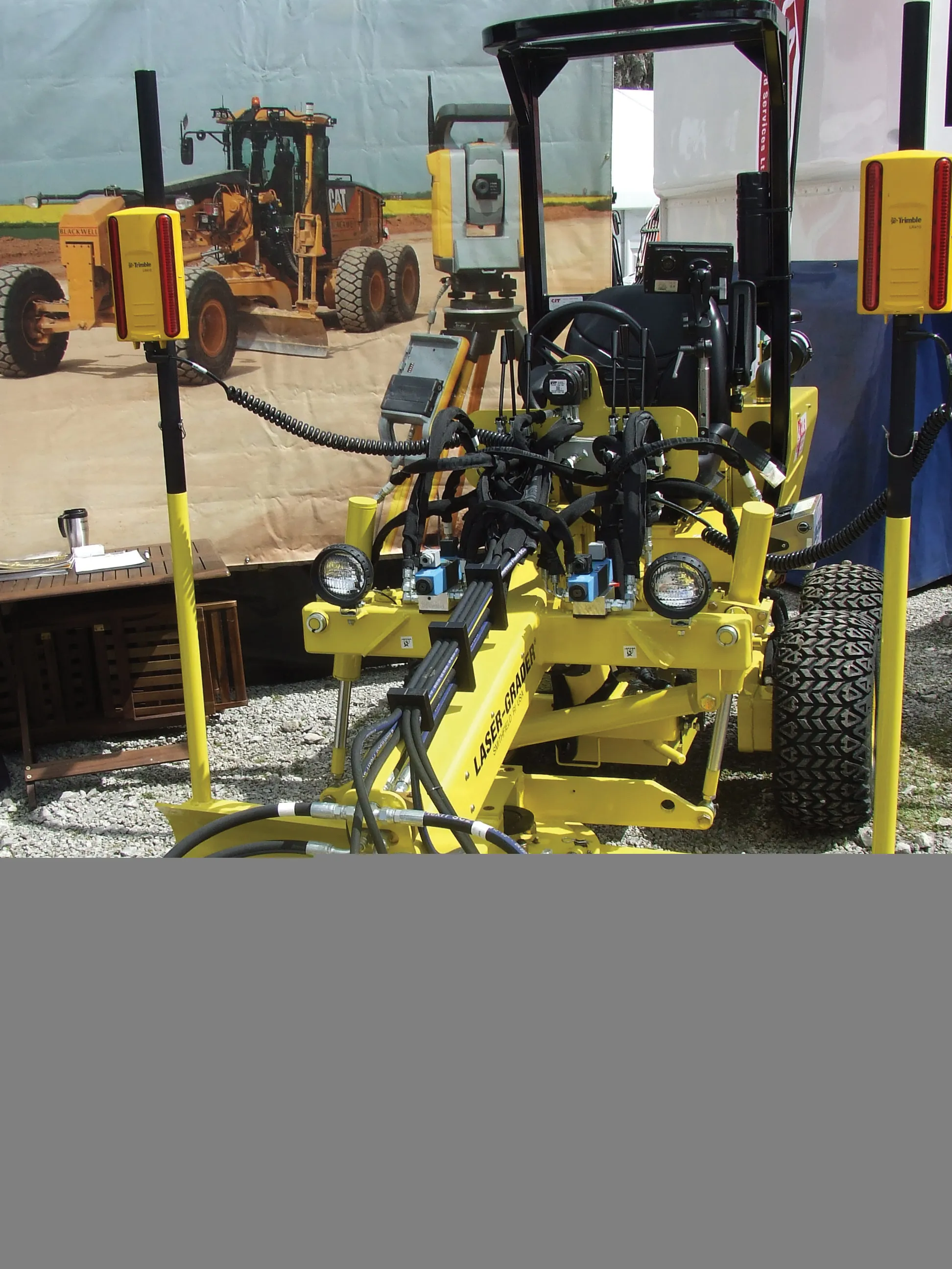
    One of the interesting developments at the recent Hillhead quarry show in the UK, was of a rather more compact machine than usually seen at the exhibition. A UK equipment rental firm, CLS Selfdrive, revealed a US-manufactured compact grader equipped with machine control equipment. This is of note seeing that such machine control technologies are usually fitted to much larger machines. The increasing proliferation of the systems and the reduction in costs in real terms however means that this technology is n
  • Proper GPR Surveying Techniques
    May 10, 2019
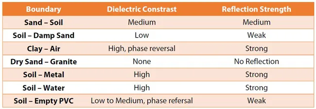
    A sustainably good road surface often depends on how well understood is the ground underneath the road’s route. Brian Jones* offers some best practice and advice for getting the most from ground-penetrating radar investigations Ground-penetrating radar (GPR) is one of the most accurate non-destructive testing (NDT) methods available. To get the most from GPR surveying, it is absolutely essential to understand how GPR tools work and follow best practices when conducting surveys. Key areas to be aware o