Surveying offering

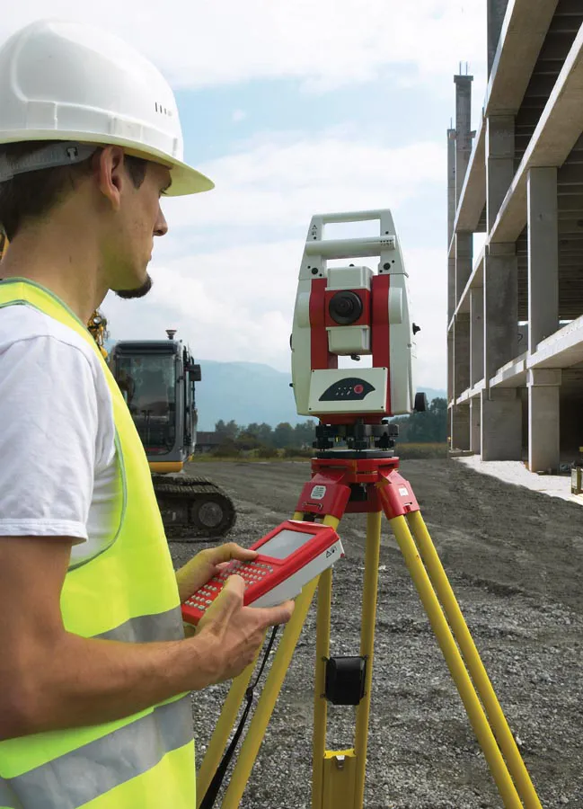
Leica Geosystems is broadening its surveying range with the introduction of three aluminium construction tripods. The two mid-range tripods, the CTP104 and CTP104D, can cope with tough conditions on site and are designed for use with Leica Geosystems levels, lasers and construction theodolites. Both employ quick-release clamps for fast stable setups. The high specification CET103 elevating tripod has an adjustable column with 300mm crank stroke and an additional telescope column for 660mm extension. Minimum
July 4, 2012 Read time: 1 min
RSS265 Leica Geosystems is broadening its surveying range with the introduction of three aluminium construction tripods. The two mid-range tripods, the CTP104 and CTP104D, can cope with tough conditions on site and are designed for use with Leica Geosystems levels, lasers and construction theodolites. Both employ quick-release clamps for fast stable setups. The high specification CET103 elevating tripod has an adjustable column with 300mm crank stroke and an additional telescope column for 660mm extension. Minimum working height is 840mm and it features a bubble for easy adjustment, mm-scale for exact height adjustment indoors and rubber feet for use on slippery surfaces.

In addition, two new packages have been introduced for the Leica Jogger level. These include a Leica Jogger 20 or 24 automatic level, a lightweight aluminum tripod, telescopic staff and a carrying bag for staff and tripod.

For more information on companies in this article

Related Content

  • Fast and accurate surveying
    February 28, 2012
    According to Leica Geosystems, its new HDS6100 unit is an improved, ultra-high speed laser scanner for survey applications. The Leica HDS6100 features several upgrades over the earlier HDS6000 scanner being replaced. These include a 37% increase in the temperature range (now -10ºC to +45ºC), a battery life of 2.5 hours, an integrated wireless LAN (WLAN) scanner control option and reduced noise at ranges of 25-50m.
  • Highway design software developments
    February 21, 2012
    New advanced software is being released for use by those involved in highway design as Adrian Greeman reports. The growing importance of BIM, building or project information modelling, as a design and construction process, and not just 3D modelling, is the driving force for the latest 2012 versions of Autodesk's comprehensive range of software for civil engineers. This is reflected in a new packaging of its various software tools into suites (along the lines of Microsoft's office suites) tailored to variou
  • Innovative GIS software offerings
    July 18, 2012
    The latest construction software developments can speed the construction process overall, Adrian Greeman reports Construction software is by its very nature a very fast moving technology, with new systems coming to the market almost continuously. There are some key developments however, such as major new product launches and market trends. One of the most important developments in the road design sector is the launch of the Bentley Systems V8i versions of its software, including its road design applications
  • Developments in concrete road construction
    February 7, 2012
    Innovative developments are pushing forward concrete road construction techniques. The concrete road sector looks to benefit from some key innovations and developments now coming to market or being employed in different territories. Irregular weather and environmental conditions can alter the rate at which concrete cures, with a risk of plastic shrinkage cracks that can compromise the integrity of a pavement. Contractors cannot control the environmental conditions of a paving project and when weather patter