Streetworks management

New software from Mayrise Systems is designed to allow local authorities to improve street works. Contractors use permits to restrict works to fixed dates and conditions and the latest version of the Mayrise Street Works software allows better scheduling of operations. The package can be used to manage notices, updates and the tracking of works status with automated alerts on over-running work. It also offers integrated MapNow mapping to provide a quick visual works locator, geographic sites analysis and fo
July 19, 2012 Read time: 1 min

New software from 2606 Mayrise Systems is designed to allow local authorities to improve street works. Contractors use permits to restrict works to fixed dates and conditions and the latest version of the Mayrise Street Works software allows better scheduling of operations. The package can be used to manage notices, updates and the tracking of works status with automated alerts on over-running work. It also offers integrated MapNow mapping to provide a quick visual works locator, geographic sites analysis and forward planner.

For more information on companies in this article

Related Content

  • Don't buy, subscribe instead... and stay ahead of the pack
    September 19, 2024
    The traditional way of doing things is to own the construction equipment you need on site. You can buy, or you can rent. You mix and match your technology needs with what is happening on site and your costs go up and down accordingly. However, a new model is emerging: Subscriptions. Take out a flat-fee plan and let someone else make sure you can get access to the latest thinking and the cleverest technology. Pete Kennedy reports.
  • Trimble technology centre stage at CONEXPO-CON/AGG 2014
    March 27, 2014
    The Trimble Quantm alignment planning system, on show at CONEXPO/CON-AGG 2014, allows road designers to cut planning time and deliver projects with little environmental and social impact at a reduced cost. The system analyses millions of alignment alternatives and returns a range of options to the planning team for consideration. When new data becomes available the Quantm system can quickly recalculate more alignment options.
  • Trimble’s new georeferencing package
    March 13, 2017
    Trimble company Applanix is now offering the POSPac MMS 8 package, an advanced GNSSaided inertial post-processing software for georeferencing data. This information can be collected from cameras, LIDARs, multibeam sonars and other sensors on mobile platforms. Using the Trimble CenterPoint RTX subscription service with the RTX technology, POSPac MMS 8 is said to offer new capabilities for mobile mapping from land, air, marine and UAV platforms. It can offer centimetre-level accuracy within one hour aft
  • Improving excavator efficiency with Trimble
    December 11, 2018
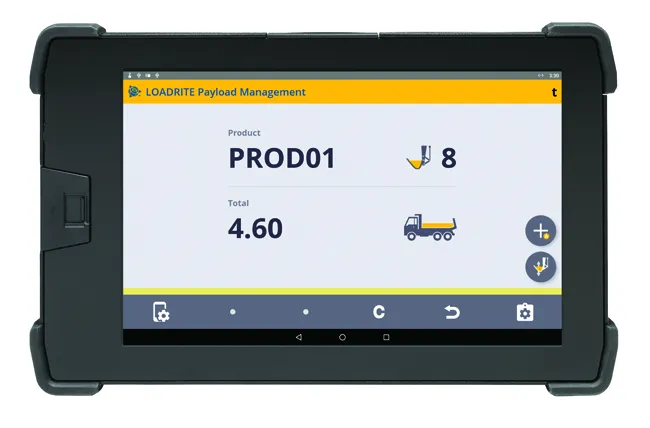
    A new development from Trimble is the integration of its LOADRITE load weighing system for excavators using the Earthworks Grade Control package. According to the firm, this will allow customers to boost productivity and efficiency for excavation work. Contractors will be able to track the load carried in each bucket and monitor mass haul progress. This can provide an accurate picture, real-time picture of earthworks progress using the Trimble Earthworks monitor fitted in the machine. This data will also be