Streetworks management

New software from Mayrise Systems is designed to allow local authorities to improve street works. Contractors use permits to restrict works to fixed dates and conditions and the latest version of the Mayrise Street Works software allows better scheduling of operations. The package can be used to manage notices, updates and the tracking of works status with automated alerts on over-running work. It also offers integrated MapNow mapping to provide a quick visual works locator, geographic sites analysis and fo
July 19, 2012 Read time: 1 min

New software from 2606 Mayrise Systems is designed to allow local authorities to improve street works. Contractors use permits to restrict works to fixed dates and conditions and the latest version of the Mayrise Street Works software allows better scheduling of operations. The package can be used to manage notices, updates and the tracking of works status with automated alerts on over-running work. It also offers integrated MapNow mapping to provide a quick visual works locator, geographic sites analysis and forward planner.

For more information on companies in this article

Related Content

  • Increased performance from Komatsu’s new WA500 wheeled loader
    February 12, 2013
    Komatsu says that its new WA500-7 wheel loader offers improved efficiency and lower fuel consumption, as well as increased output. Weighing in at 333tonnes, the WA500-7 has improved operator comfort with a larger and more spacious cab fitted with ergonomic controls and offering better visibility.
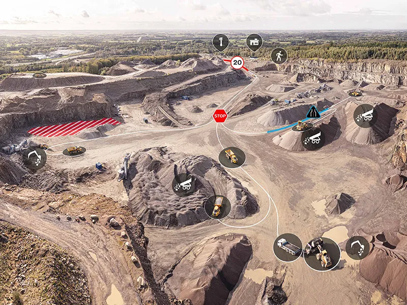
  • Transtone revolutionises quarry operations with Connected Map and Performance Indicator
    September 1, 2024
    Digital tools have the potential to reshape construction, helping customers to run more efficient, productive, safe and sustainable operations. Transtone SA, a valued customer of Volvo Construction Equipment (Volvo CE) based in Belgium, has transformed its operations with Volvo CE’s productivity services, Connected Map and Performance Indicator.
  • Topcon announces increased integration with Autodesk scanning software
    June 2, 2016
    Topcon Positioning Group has announced increased integration in the Autodesk and Topcon reality data workflow that it says is designed to increase project efficiency. Raw scan data from the Topcon GLS-2000 laser scanner can now be taken directly into Autodesk ReCap 360 and ReCap 360 Pro with no intermediate software conversion steps necessary. Topcon said that this integration is designed to streamline point cloud analysis to quickly identify conflicts, measure variations and make adjustments at vari
  • ARRB Systems' network-level continuous friction testing
    November 20, 2024
    Pavement safety assessments have traditionally focused on discrete low-density friction assessments using proven technology. But more detailed investigations and analysis are now feasible through improved technologies, explains Simon Tetley of ARRB Systems*.