Streetworks management

New software from Mayrise Systems is designed to allow local authorities to improve street works. Contractors use permits to restrict works to fixed dates and conditions and the latest version of the Mayrise Street Works software allows better scheduling of operations. The package can be used to manage notices, updates and the tracking of works status with automated alerts on over-running work. It also offers integrated MapNow mapping to provide a quick visual works locator, geographic sites analysis and fo
July 19, 2012 Read time: 1 min
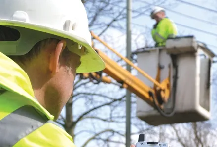
New software from 2606 Mayrise Systems is designed to allow local authorities to improve street works. Contractors use permits to restrict works to fixed dates and conditions and the latest version of the Mayrise Street Works software allows better scheduling of operations. The package can be used to manage notices, updates and the tracking of works status with automated alerts on over-running work. It also offers integrated MapNow mapping to provide a quick visual works locator, geographic sites analysis and forward planner.

For more information on companies in this article

Related Content

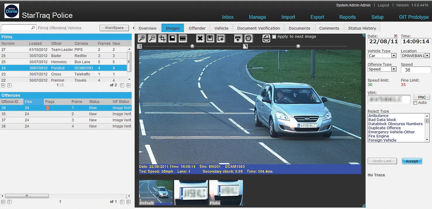
  • StarTraq software for Fiji traffic offence management
    June 25, 2013
    StarTraq says the implementation of its browser-based road traffic offence processing software has been completed within the Land Transport Authority (LTA) of Fiji. Through the use of StarTraq Dome, the Fijian LTA is said to have installed the required infrastructure to process high volumes of offences promptly, efficiently and at a reduced cost.
  • Ammann Group Company Profile
    August 1, 2022
    Visit Ammann at Booth FS.909 at bauma in Munich...
  • Michael Baker receives authority to fly unmanned aerial systems
    August 17, 2015
    US-based engineering firm Michael Baker International has received certification from the Federal Aviation Administration to operate several types of fixed-wing and vertical take-off and landing unmanned aircraft systems. The company said its UAS can capture robust, real-time aerial photographs and video as well as conduct aerial mapping for surveys or site inspections. "Integrating our FAA-certified unmanned aircraft program with our other advanced data collection capabilities allows us to take data
  • Using radar to deliver a fine runway finish
    April 4, 2014
    Radar Portal Systems (RPS) has spent a lot of time developing its sophisticated pavement top-surface photometric imaging system so it can cater specifically for the aviation market. This has now been specially developed for use on aircraft runways and taxiways The system was recently used at Brisbane Airport to survey runway and runway shoulders, collecting photometric top-surface data at a 4m width at speeds of up to 100km/h. This dataset allows the firm to display meshing data of the runway surface showin