Straight to the point for measurement

Leica Geosystems says it is introducing a major advance in site surveying. This offers a novel tilt compensation system, so that users are no longer required to hold the pole vertical. The new Leica GS18 T is claimed to be the world’s fastest GNSS RTK rover, while the firm is also offering the latest versions of Leica Captivate field software and Leica Infinity office software. With the addition of calibration-free GNSS and various upgrades to the Captivate field software and Infinity office software, use
February 6, 2018 Read time: 2 mins
More accurate measurements can be taken more quickly with the new package from Leica Geosystems
265 Leica Geosystems says it is introducing a major advance in site surveying. This offers a novel tilt compensation system, so that users are no longer required to hold the pole vertical. The new Leica GS18 T is claimed to be the world’s fastest GNSS RTK rover, while the firm is also offering the latest versions of Leica Captivate field software and Leica Infinity office software.


With the addition of calibration-free GNSS and various upgrades to the Captivate field software and Infinity office software, users are said to benefit from self-learning GNSS and engaging, intuitive software interfaces.  

Improved efficiency is claimed for the GS18 as a user no longer has to level the pole nor calibrate the system. The GS18 T is a calibration-free and tilt compensating GNSS RTK rover that is also said to be immune to magnetic disturbances. GNSS measurements can be taken from any position on site, saving users up to 20% of time in the field over conventional surveying practices according to the firm. As the only GNSS RTK rover to use precise enough inertial measuring units (IMUs) and not a compass, users can measure with a tilted pole close to buildings or metallic objects.

The GS18 T records how the pole was levelled during the measurement and stores the values, ensuring measurement traceability and quality reporting. Easy-to-use, the new GNSS RTK rover ensures users and managers increase productivity and reduce time on site.

Fully supporting the GS18 T, Leica Captivate v3.0 field software and Leica Infinity v2.4 office software now offer users a more immersive means of control on site and at the desk. Captivate allows configuration of the GS18 T for all measuring and staking applications and the visualisation of tilt compensated measurements. Measured data can be directly imported into Infinity or exported into a variety of formats suitable for CAD packages. Within Infinity, users can visualise the measured data, including the creation of reports providing traceability and quality assurance.

For more information on companies in this article

Related Content

  • Accurate concrete paving with Wirtgen
    January 7, 2024

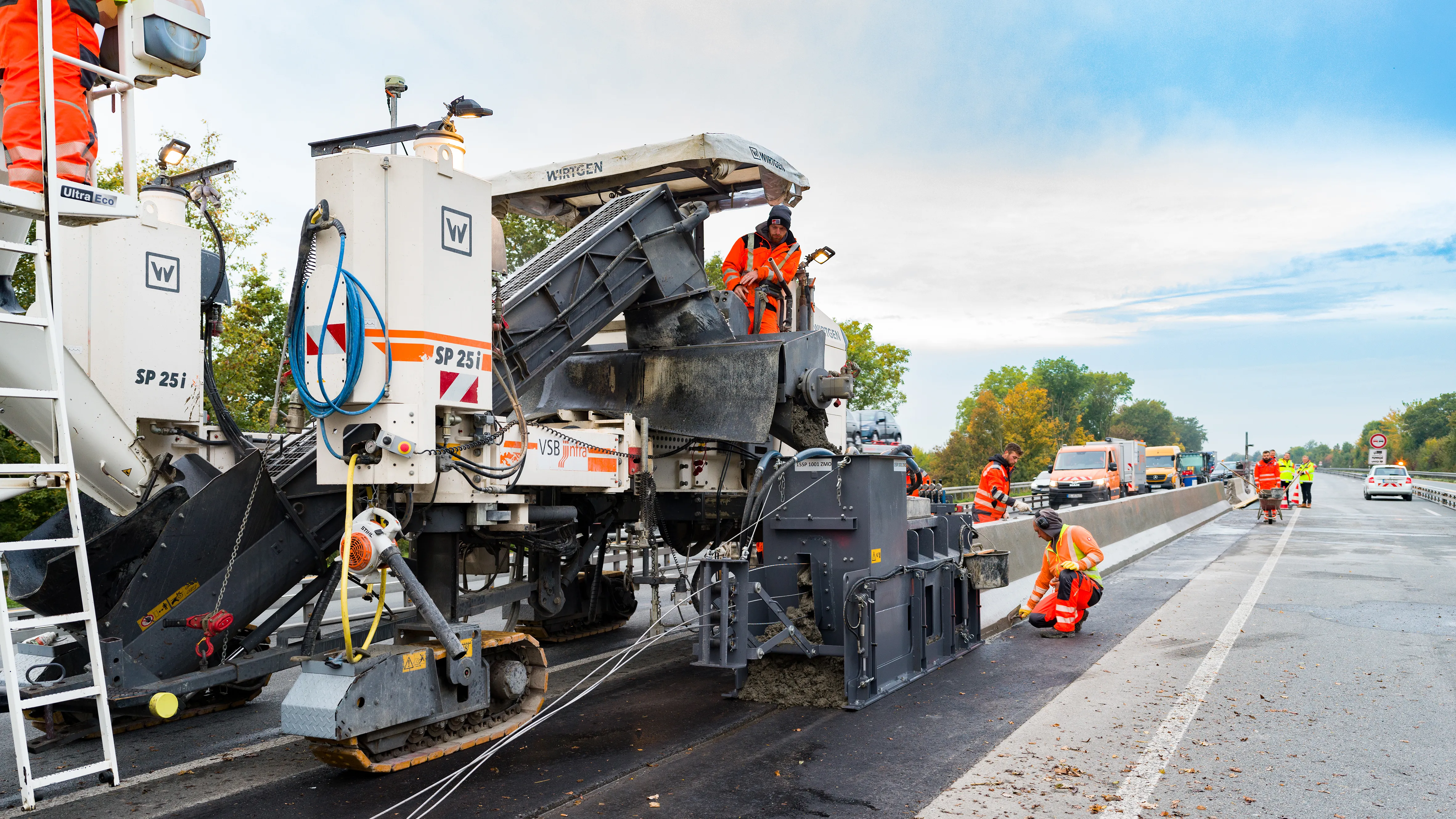
    Wirtgen’s improved stringless concrete paving system is being used on the A43 highway near Münster in Germany. 
    The AutoPilot 2.0 is a 3D control system that helps increase efficiency and safety. The system is being used to deliver a new poured in-place concrete safety barrier that will separate the eastbound and westbound lanes of the A 43 Autobahn.

  • Accurate weigh-in-motion technology
    June 21, 2016
    Weigh-in-motion technology is ensuring increasingly accurate, and flexible, weighing stations. Weigh-in-motion specialist manufacturer Axtec says that its space-saving dynamic weighbridge is accurate to within ±0.5% and is the most precise system in the world. From its Runcorn, UK manufacturing facility, Axtec undertakes research and development of new technologies, as well as software testing, fabrication, construction and installation of WIM products. Axtec’s axle weighing platform design is intended f
  • Crushing and screening innovation for quarries
    November 5, 2012
    Novel crushing and screening developments are coming to market - Mike Woof reports A wide array of innovations and market developments are occurring in the sector for quarrying machinery. New technologies are being introduced while business developments are also changing the face of this market segment. There is strong interest in new technology from industry too and this was well highlighted by data from the organisers of the Hillhead quarry show in the UK. The organisers revealed that there was a jump of
  • GSSI offers bridge monitoring tool
    May 19, 2015
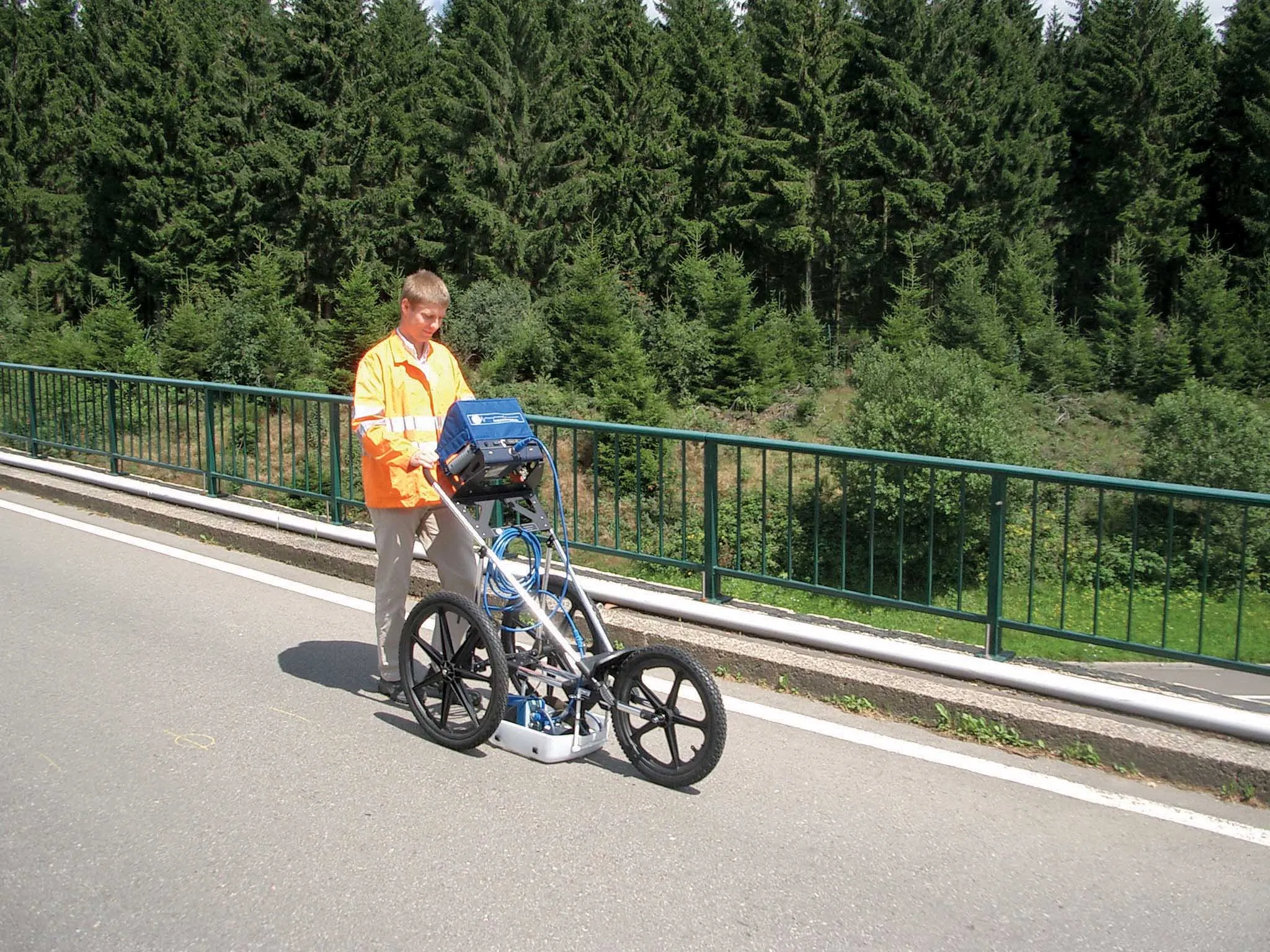
    GSSI is introducing the sophistictaed BridgeScan condition assessment system. This package is used for concrete inspection and utility mapping of bridges. Said to be both affordable and versatile, this ground penetrating radar (GPR) equipment can be used to assess concrete condition on bridge decks, as well as parking structures. Using this unit offers accurate assessments of concrete condition, which improves repair cost estimation and saves time and money. With BridgeScan, identification of rebar