Straight to the point for measurement

Leica Geosystems says it is introducing a major advance in site surveying. This offers a novel tilt compensation system, so that users are no longer required to hold the pole vertical. The new Leica GS18 T is claimed to be the world’s fastest GNSS RTK rover, while the firm is also offering the latest versions of Leica Captivate field software and Leica Infinity office software. With the addition of calibration-free GNSS and various upgrades to the Captivate field software and Infinity office software, use
February 6, 2018 Read time: 2 mins
More accurate measurements can be taken more quickly with the new package from Leica Geosystems
265 Leica Geosystems says it is introducing a major advance in site surveying. This offers a novel tilt compensation system, so that users are no longer required to hold the pole vertical. The new Leica GS18 T is claimed to be the world’s fastest GNSS RTK rover, while the firm is also offering the latest versions of Leica Captivate field software and Leica Infinity office software.


With the addition of calibration-free GNSS and various upgrades to the Captivate field software and Infinity office software, users are said to benefit from self-learning GNSS and engaging, intuitive software interfaces.  

Improved efficiency is claimed for the GS18 as a user no longer has to level the pole nor calibrate the system. The GS18 T is a calibration-free and tilt compensating GNSS RTK rover that is also said to be immune to magnetic disturbances. GNSS measurements can be taken from any position on site, saving users up to 20% of time in the field over conventional surveying practices according to the firm. As the only GNSS RTK rover to use precise enough inertial measuring units (IMUs) and not a compass, users can measure with a tilted pole close to buildings or metallic objects.

The GS18 T records how the pole was levelled during the measurement and stores the values, ensuring measurement traceability and quality reporting. Easy-to-use, the new GNSS RTK rover ensures users and managers increase productivity and reduce time on site.

Fully supporting the GS18 T, Leica Captivate v3.0 field software and Leica Infinity v2.4 office software now offer users a more immersive means of control on site and at the desk. Captivate allows configuration of the GS18 T for all measuring and staking applications and the visualisation of tilt compensated measurements. Measured data can be directly imported into Infinity or exported into a variety of formats suitable for CAD packages. Within Infinity, users can visualise the measured data, including the creation of reports providing traceability and quality assurance.

For more information on companies in this article

Related Content

  • Trimble machine control technology onsite
    June 3, 2022
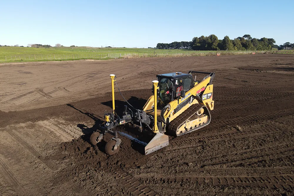
    A construction firm in New Zealand is making good use of machine control technology from Trimble. The technology is helping to reduce costs and boost quality, while also addressing the issue of operator skills.
  • Innovations in piling technology
    December 15, 2017
    The market for piling machines is seeing new technology come to market – Mike Woof writes UK firm BSP is now offering an improved range of piling systems, with its SL30 model and compact BH120. The SL30 can be used to drive Z piles in pairs and its hammer has a drop weight of 2.5tonnes, delivering an impact energy of 30kNm at up 84blows/minute. The SL piling hammer is designed for driving sheet piles and small bearing piles and is available with legs and inserts for use when freely suspended or with back
  • Advances in tunneling machines coming to market
    November 19, 2015
    A diverse array of new tunnelling technologies will help boost productivity and cut project costs, while boosting quality - Mike Woof writes The worldwide market for tunnelling projects continues to be strong, with a series of major projects underway or planned for the future. These good market conditions have helped fuel research and development in new tunnelling equipment, designed to be more productive, more efficient and more reliable and able to deliver a higher quality of work. Drilling and blas
  • Accurate utilities detection
    November 26, 2024

    Trimble and Radiodetection are collaborating to improve the technology used in the utility measurement and mapping process. Integrating the Trimble Catalyst DA2 GNSS system and Radiodetection’s RD MapTM+ application and precision locator products helps to streamline utility-locating workflows to provide accurate measurement capabilities and generate underground utilities maps in a single field operation.